Chemin du Piémont Pyrénéen
- 38.7 mi
- one way
- 5,567 ft
- climb
- 3,939 ft
- high point
- Point to point
- route
Chemin du Piémont Pyrénéen is a 39-mile point-to-point route in Occitania, France. It runs between about 1,280 ft and 3,940 ft above sea level, with roughly 5,570 ft of climbing one way. It is mapped as a named hiking route, with the sections joined into one trail here. It is on the edge of Saint-Pé-d'Ardet. Peaks within about 3 miles include Tire-Cantan, Juan Malaut and Tarride. For camping, Camping municipal de Saint-Pé d'Ardet and Pyrénées Emotions are within about 6 miles. Distances, elevations and the route shape here come from OpenStreetMap and the Copernicus 90 m elevation model. Trails, access rules and conditions change, so check locally before you go.
Keep exploring — more trails worth the drive
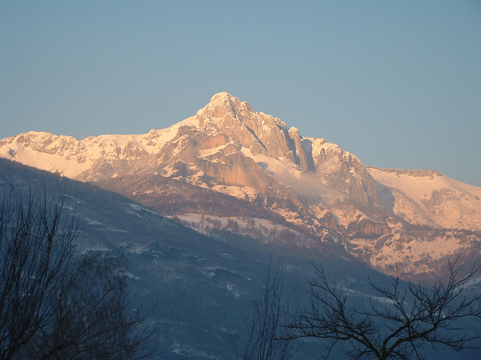
 Photo: François GILLAIZEAU de www.concept-sejours.com, CC BY-SA 2.0 (via Wikimedia Commons)
Pic de Bacanère
~16 min drive
A 2.8-mile point-to-point route in Occitania, France.
 Photo: ChrisSampson87, CC BY-SA 4.0 (via Wikimedia Commons)
D'Aurignac à Gourdan
~33 min drive
A 43-mile point-to-point route in Occitania, France.
Camin du Bois Cd Cresp
~9 min drive
A 1.2-mile loop in Occitania, France.
Chemin d'Aouéran
~18 min drive
An out-and-back trail, 3.0 miles each way (5.9 miles round trip) in Occitania, France.
Voie Normale du Cagire
~9 min drive
An out-and-back trail, 2.8 miles each way (5.6 miles round trip) in Occitania, France.
Chemin du Piémont Pyrénéen
~14 min drive
A 12-mile point-to-point route in Occitania, France.
Sender circular de la Val d'Aran. Variant Les - Pont dera Lana
~16 min drive
A 1.9-mile point-to-point route in Occitania, France.
Sentier Crête de la Serre des Cabales
~33 min drive
An out-and-back trail, 2.5 miles each way (5.1 miles round trip) in Occitania, France.
Tour du Cagire-Burat
~10 min drive
An out-and-back trail, 2.4 miles each way (4.8 miles round trip) in Occitania, France.
Tour de l'Aneto
~34 min drive
A 0.3-mile point-to-point route in Occitania, France.
Conditions and forecast
Daily highs and lows, wind and the chance of precipitation at Chemin du Piémont Pyrénéen for the next 7 days, from the Open-Meteo model.
Map and trail data © OpenStreetMap contributors
