Le Pont
- At 1,271 ft
Le Pont is a campground in Occitania, France, at about 1,270 ft above sea level. It is inside Parc naturel régional des Grands Causses. OpenStreetMap lists drinking water, showers and electric hookups. Camping here is paid. Trails within about a mile include Le Rozier – Millau. The nearest town is Mostuéjouls, about 1.3 miles west of the campground. Peaks within about 3 miles include Puech de Fontaneilles, Puech de Suège and Pic de Montaigu. For camping, Moulin de la Galinière and Camping Les Prades are within about 6 miles. The location and elevation come from OpenStreetMap and the Copernicus 90 m elevation model. Check local access rules and conditions before you go.
Keep exploring — more campsites worth the drive
 Photo: Henk Monster, CC BY 3.0 (via Wikimedia Commons)
Le Peyrelade
~1 min drive
A campground in Occitania, France.
 Photo: Karl-Heinz Böhm, CC BY-SA 3.0 (via Wikimedia Commons)
Camping Huttopia Millau
~13 min drive
A campground in Occitania, France.
BED
Moulin de la Galinière
Next door
A campground in Occitania, France.
BED
Camping Les Prades
~1 min drive
A campground in Occitania, France.
BED
Camping Le Taranis
~2 min drive
A campground in Occitania, France.
BED
Camping Le Papillon
~3 min drive
A campground in Occitania, France.
BED
Camping de l'Aubigue
~3 min drive
A campground in Occitania, France.
BED
Les Bords Du Tarn
~3 min drive
A campground in Occitania, France.
BED
Les Peupliers
~3 min drive
A campground in Occitania, France.
BED
Le Randonneur
~3 min drive
A campground in Occitania, France.
Also worth it near here
 Photo: MPhernambucq, CC BY-SA 3.0 (via Wikimedia Commons)
La Malène – Le Rozier
~4 min drive
 Photo: Petr1888, CC BY-SA 3.0 (via Wikimedia Commons)
Rocher de Capluc
~5 min drive
RIDE
Ravin de Potensac
~15 min drive
 Photo: JYB Devot, CC BY-SA 4.0 (via Wikimedia Commons)
Cascade de l'Homède
~17 min drive
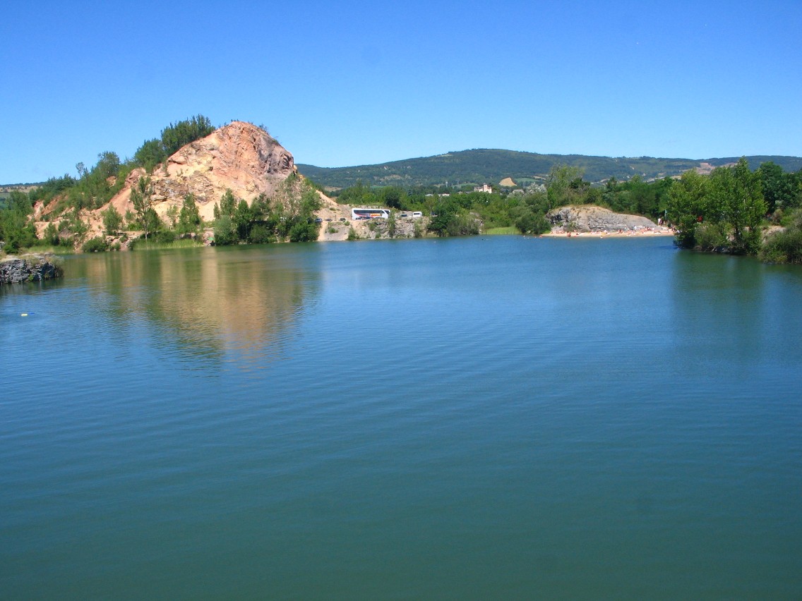 Photo: Nanzig, CC BY-SA 4.0 (via Wikimedia Commons)
Plage Lac de la Cisba
~17 min drive
Conditions and forecast
Daily highs and lows, wind and the chance of precipitation at Le Pont for the next 7 days, from the Open-Meteo model.
Map and trail data © OpenStreetMap contributors
