Camping Pyrénées Natura
- At 3,199 ft
Camping Pyrénées Natura is a campground in Occitania, France, at about 3,200 ft above sea level. It is inside Parc national des Pyrénées (Aire d'adhésion). Trails within about a mile include La traversée des Pyrénées - sec.7 and cretes de pan. It is on the edge of Estaing. Peaks within about 3 miles include Pic Arrouy, Pic de Pan and Cap du Soc. For camping, Camping le vieux moulin and Le Moulian are within about 6 miles. The location and elevation come from OpenStreetMap and the Copernicus 90 m elevation model. Check local access rules and conditions before you go.
Keep exploring — more campsites worth the drive
 Photo: Bollystolly, CC BY-SA 4.0 (via Wikimedia Commons)
GCU Arrens-Marsous
~4 min drive
A campground in Occitania, France.
 Photo: Amanda Hinault from Lannion, France, CC BY-SA 2.0 (via Wikimedia Commons)
Refuge d'Ilhéou
~9 min drive
A mountain hut in Occitania, France.
 Photo: Amanda Hinault from Lannion, France, CC BY-SA 2.0 (via Wikimedia Commons)
Camping du Lac d'Estaing
~5 min drive
A campground in Occitania, France.
 Photo: Babylas, CC BY-SA 3.0 (via Wikimedia Commons)
Cabane du Plaa de Prat
~11 min drive
An unstaffed wilderness hut in Occitania, France.
 Photo: Sotos, CC BY 4.0 (via Wikimedia Commons)
Camping GCU de Lau-Balagnas Les Peupliers
~10 min drive
A campground in Occitania, France.
SEE
Cabane de Mauvesi
~5 min drive
An unstaffed wilderness hut in Occitania, France.
 Photo: Sotos, CC BY 4.0 (via Wikimedia Commons)
Aire de bivouac du Chalet du Clot
~11 min drive
An informal camping spot in Occitania, France.
SEE
Refuge Gabizos
~6 min drive
A mountain hut in Occitania, France.
BED
Camping le vieux moulin
Next door
A campground in Occitania, France.
SEE
Refuge du Haugarou
~8 min drive
A mountain hut in Occitania, France.
Also worth it near here
HIKE
cretes de pan
~3 min drive
RIDE
Enduro n°105 – L’Adonf
~4 min drive
 Photo: semetria, Public domain (via Wikimedia Commons)
Pic du Cabaliros
~5 min drive
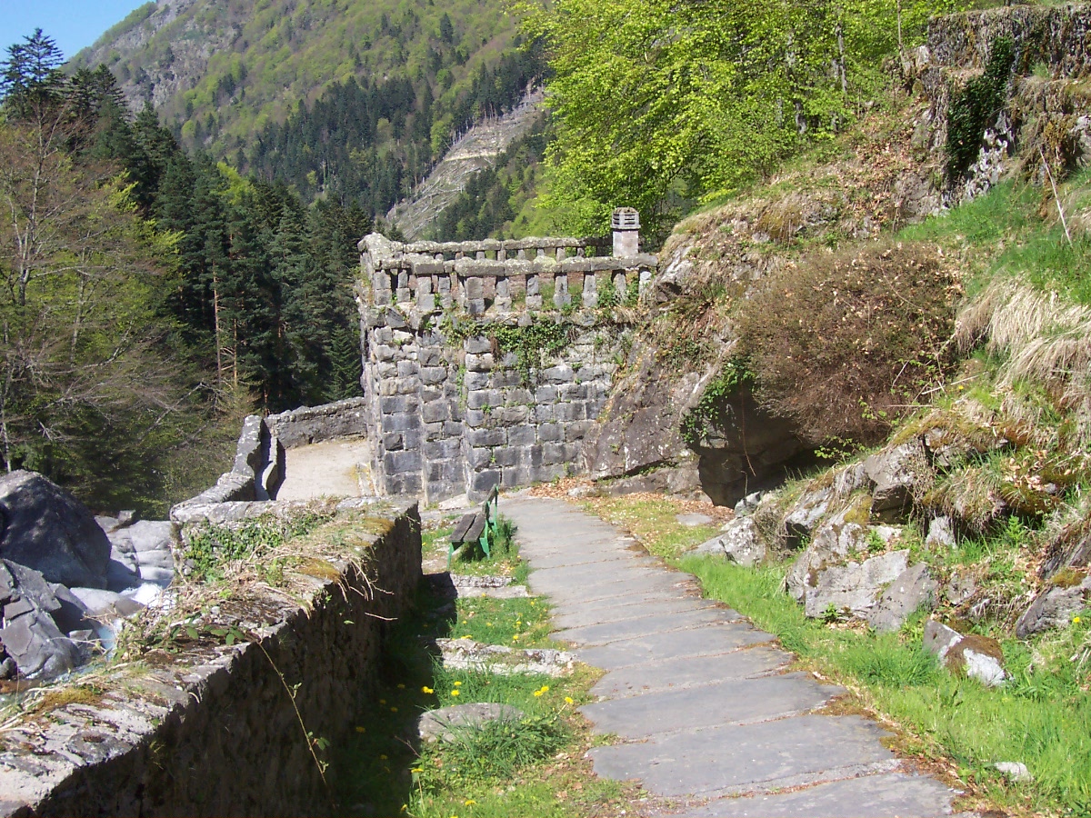 Photo: Gerard from Tarbes, France, CC BY-SA 2.0 (via Wikimedia Commons)
Mauhourat
~10 min drive
Photo: Gerard from Tarbes, France, CC BY-SA 2.0 (via Wikimedia Commons)Cascade des sources de Mauhourat
~10 min drive
Conditions and forecast
Daily highs and lows, wind and the chance of precipitation at Camping Pyrénées Natura for the next 7 days, from the Open-Meteo model.
Map and trail data © OpenStreetMap contributors
