De Rétaud à Rioux
 Photo: JLPC, CC BY-SA 3.0 (via Wikimedia Commons)
- 4.9 mi
- one way
- 221 ft
- climb
- 162 ft
- high point
- Point to point
- route
De Rétaud à Rioux is a 4.9-mile point-to-point route in Nouvelle-Aquitaine, France. It stays at about 160 ft above sea level and is close to flat. It is mapped as a named hiking route, with the sections joined into one trail here. It is on the edge of Rétaud. Distances, elevations and the route shape here come from OpenStreetMap and the Copernicus 90 m elevation model. Trails, access rules and conditions change, so check locally before you go.
Keep exploring — more trails worth the drive
 Photo: William Ellison, CC BY-SA 4.0 (via Wikimedia Commons)
De Saint-Agnant à Meursac
~7 min drive
A 23-mile point-to-point route in Nouvelle-Aquitaine, France.
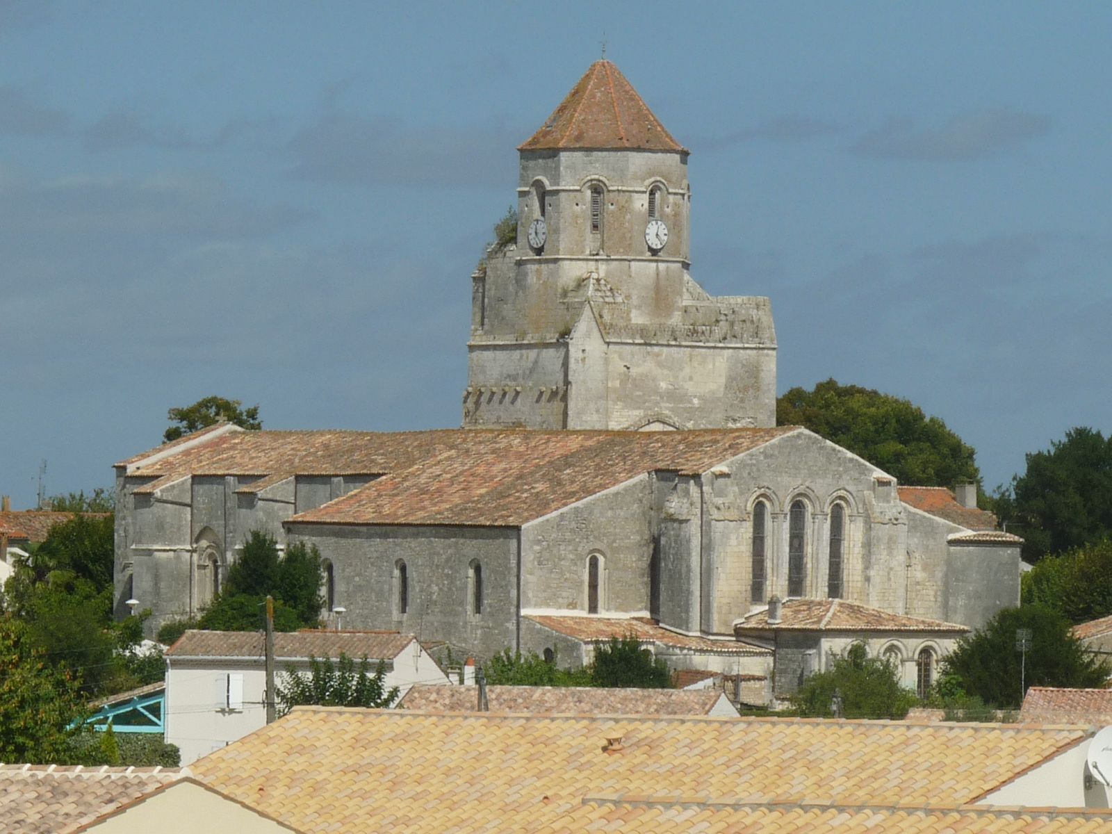 Photo: Jack ma, CC BY-SA 3.0 (via Wikimedia Commons)
De Rioux à Cozes
~14 min drive
A 11-mile point-to-point route in Nouvelle-Aquitaine, France.
 Photo: FrenchCobber, CC BY-SA 3.0 (via Wikimedia Commons)
De Cozes à St-Fort-sur-Gironde
~14 min drive
A 26-mile point-to-point route in Nouvelle-Aquitaine, France.
 Photo: DomDombes, CC BY-SA 4.0 (via Wikimedia Commons)
De Pons à Saint-Fort-sur-Gironde
~19 min drive
A 16-mile point-to-point route in Nouvelle-Aquitaine, France.
 Photo: Havang(nl), CC0 (via Wikimedia Commons)
De Jonzac à Pons
~19 min drive
A 19-mile point-to-point route in Nouvelle-Aquitaine, France.
 Photo: Havang(nl), CC0 (via Wikimedia Commons)
De Vénérand à Fénioux
~27 min drive
A 9.1-mile point-to-point route in Nouvelle-Aquitaine, France.
 Photo: Cosal, CC BY-SA 4.0 (via Wikimedia Commons)
De Chez Bézie à Jonzac
~37 min drive
A 12-mile point-to-point route in Nouvelle-Aquitaine, France.
 Photo: lmagreault, CC BY-SA 4.0 (via Wikimedia Commons)
De Rouffignac à Jonzac
~37 min drive
A 12-mile point-to-point route in Nouvelle-Aquitaine, France.
 Photo: Tux-Man, CC BY-SA 3.0 (via Wikimedia Commons)
La Faute-sur-Mer – Charron
~1h 21m drive
A 19-mile point-to-point route in Nouvelle-Aquitaine, France.
HIKE
De Rioux à Saint-Léger
~14 min drive
A 11-mile point-to-point route in Nouvelle-Aquitaine, France.
Also worth it near here
RIDE
Voie du Carrefour des Landes
~14 min drive
HIKE
les Brandes de Chantier
~20 min drive
 Photo: Llann Wé², CC BY-SA 3.0 (via Wikimedia Commons)
Camping Municipal Le Port
~23 min drive
SEE
Cale de Saint Savinien
~24 min drive
 Photo: FrenchCobber, CC BY-SA 3.0 (via Wikimedia Commons)
Plage de Saint-Georges de Didonne
~24 min drive
Conditions and forecast
Daily highs and lows, wind and the chance of precipitation at De Rétaud à Rioux for the next 7 days, from the Open-Meteo model.
Map and trail data © OpenStreetMap contributors
