Camping L'Anse du Brick
A campground in Normandy, France.
 Photo: jean melis, CC BY 3.0 (via Wikimedia Commons)
- At 228 ft
Camping L'Anse du Brick is a campground in Normandy, France, at about 230 ft above sea level. OpenStreetMap lists toilets, drinking water, showers and electric hookups. Trails within about a mile include Fermanville – Cherbourg. It is on the edge of Maupertus-sur-Mer. For camping, Camping Municipal du Fort and Camping du Gibert are within about 6 miles. The location and elevation come from OpenStreetMap and the Copernicus 90 m elevation model. Check local access rules and conditions before you go.
Make it a trip
Roamze builds the days around this campground: where to sleep, where to eat after, what to do if it rains. You change anything.
Keep exploring — more campsites worth the drive
 Photo: Roland Godefroy, CC BY 3.0 (via Wikimedia Commons)
Camping Municipal de Vauville
~28 min drive
A campground in Normandy, France.
 Photo: Xfigpower, CC BY-SA 3.0 (via Wikimedia Commons)
Camping Municipal** de Saint-Sauveur-Le-Vicomte
~33 min drive
A campground in Normandy, France.
Camping Municipal du Fort
~3 min drive
A campground in Normandy, France.
Camping du Gibert
~4 min drive
A campground in Normandy, France.
Camping de la Plage
~5 min drive
A campground in Normandy, France.
Les Cottages de Collignon
~6 min drive
A campground in Normandy, France.
Les Logis du Cotentin
~6 min drive
A campground in Normandy, France.
Camping du Sablon
~7 min drive
A campground in Normandy, France.
Camp du Vicq
~8 min drive
A campground in Normandy, France.
Camping Le Village Vert
~12 min drive
A campground in Normandy, France.
Also worth it near here
 Photo: Martin Leveneur, CC BY-SA 4.0 (via Wikimedia Commons)
Fermanville – Cherbourg
~4 min drive
Cale du port du Becquet
~5 min drive
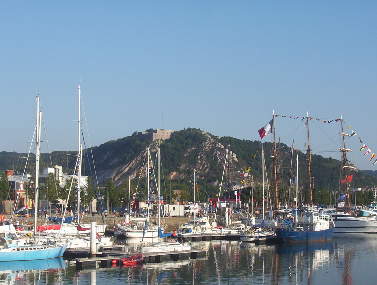 Photo: User:HaguardDuNord, CC BY-SA 3.0 (via Wikimedia Commons)
Montagne du Roule
~11 min drive
Chmin de la Coudre au Planitre des Fosses
~12 min drive
 Photo: Havang(nl), CC0 (via Wikimedia Commons)
Plage de Biville
~28 min drive
Conditions and forecast
Daily highs and lows, wind and the chance of precipitation at Camping L'Anse du Brick for the next 7 days, from the Open-Meteo model.
Map and trail data © OpenStreetMap contributors
