Camping municipal de l'Ill
- At 798 ft
Camping municipal de l'Ill is a campground in Grand Est, France, at about 800 ft above sea level. OpenStreetMap lists toilets, drinking water, showers and electric hookups. Trails within about a mile include Sentier de l'Ill. It is on the edge of Brunstatt. Peaks within about 3 miles include Welschenberg and Lerchenberg. For camping, Camping La Chaumiere and Le Safary are within about 6 miles. The location and elevation come from OpenStreetMap and the Copernicus 90 m elevation model. Check local access rules and conditions before you go.
Keep exploring — more campsites worth the drive
 Photo: Maarten Sepp, CC BY-SA 3.0 (via Wikimedia Commons)
Camping du Canal
~16 min drive
A campground in Grand Est, France.
 Photo: Pehaha, CC BY-SA 3.0 (via Wikimedia Commons)
Gîte d'étape Thann
~20 min drive
A mountain hut in Grand Est, France.
 Photo: Maarten Sepp, CC BY-SA 3.0 (via Wikimedia Commons)
Les Résidences du canal
~16 min drive
A campground in Grand Est, France.
 Photo: Espirat, CC BY-SA 4.0 (via Wikimedia Commons)
Refuge du Molkenrain
~21 min drive
A mountain hut in Grand Est, France.
 Photo: ernst andre, CC BY-SA 3.0 (via Wikimedia Commons)
Camping du Lac de la Seigneurie
~25 min drive
A campground in Bourgogne-Franche-Comté, France.
 Photo: Uli@wiki, CC BY 4.0 (via Wikimedia Commons)
Baecherkopf-Hislà
~21 min drive
An unstaffed wilderness hut in Grand Est, France.
 Photo: © Ralph Hammann - Wikimedia Commons, CC BY-SA 4.0 (via Wikimedia Commons)
Camping municipal Rouffach
~26 min drive
A campground in Grand Est, France.
 Photo: Jörg Braukmann, CC BY-SA 4.0 (via Wikimedia Commons)
Refuge Club Vosgien du Thanner Hubel
~26 min drive
A mountain hut in Grand Est, France.
 Photo: Thomas Bresson, CC BY 4.0 (via Wikimedia Commons)
Camping de Masevaux
~27 min drive
A campground in Grand Est, France.
 Photo: ernst andre, CC BY-SA 3.0 (via Wikimedia Commons)
Abri du Sattelboden
~28 min drive
An unstaffed wilderness hut in Grand Est, France.
Also worth it near here
 Photo: Florival fr, CC BY-SA 3.0 (via Wikimedia Commons)
Terril Théodore
~11 min drive
 Photo: Rauenstein, CC BY-SA 3.0 (via Wikimedia Commons)
Autour d'Eglingen
~14 min drive
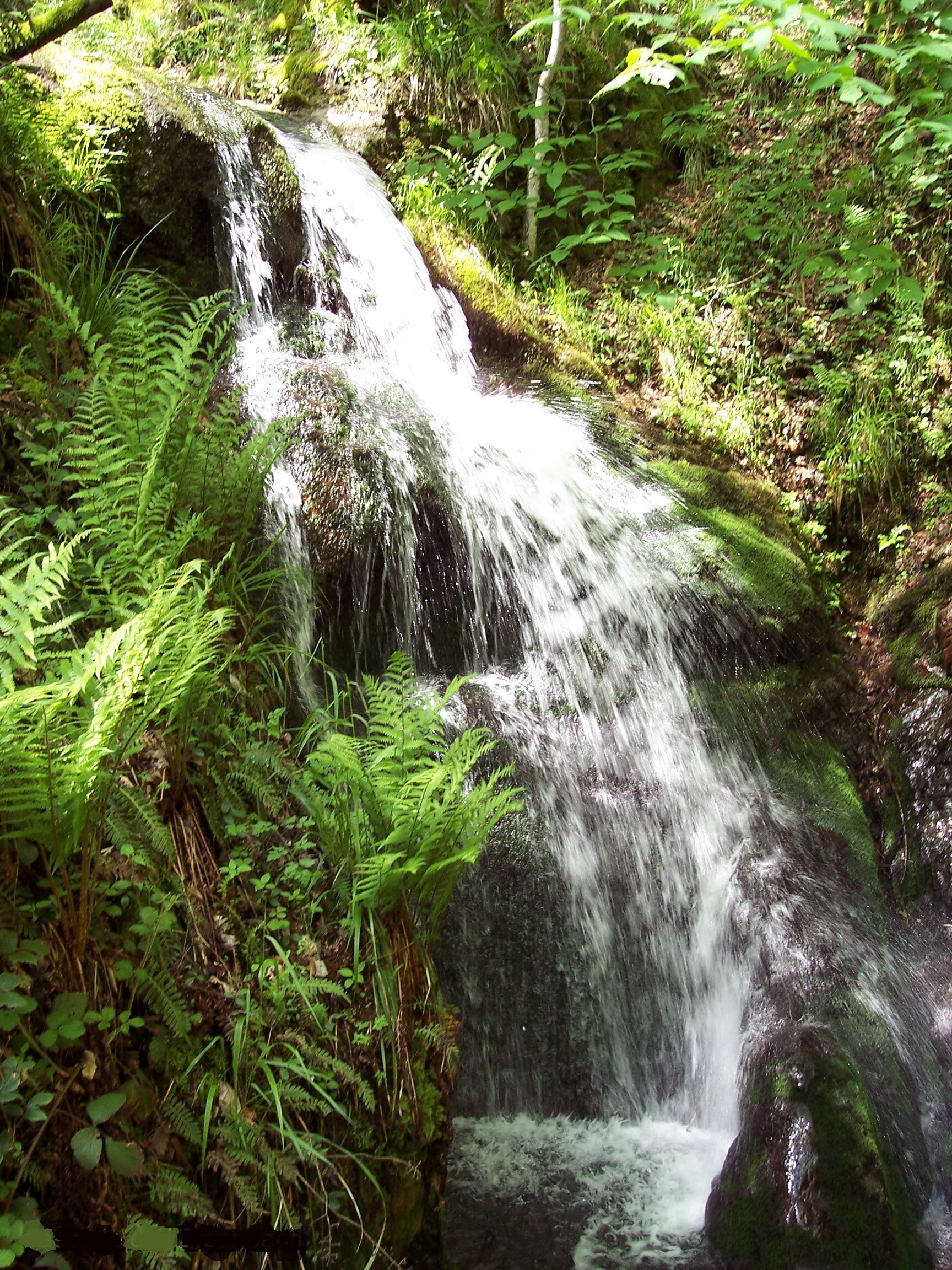 Photo: Espirat, CC BY-SA 4.0 (via Wikimedia Commons)
Cascade de l'Erzenbach
~20 min drive
HIKE
Sentier de Largitzen
~23 min drive
PADDLE
Vieux Rhin
~25 min drive
Conditions and forecast
Daily highs and lows, wind and the chance of precipitation at Camping municipal de l'Ill for the next 7 days, from the Open-Meteo model.
Map and trail data © OpenStreetMap contributors
