Petit Ferrand
 Photo: Boutaries, CC BY-SA 4.0 (via Wikimedia Commons)
- 8,937 ft
- summit
Petit Ferrand is a mountain in Auvergne-Rhône-Alpes, France, with its summit at about 8,940 ft (2,724 m) above sea level. Mapped trails that come within about half a mile of the top include Sentier de Ronde. The nearest town is Tréminis, about 2.8 miles southeast of the summit. Peaks within about 3 miles include Le Grand Ferrand, Tête de Vallon Pierra and Les Prêtres. For camping, La Jarjatte is within about 6 miles. It is part of the Dévoluy Mountains. These details come from Wikidata. The location and elevation come from OpenStreetMap and the Copernicus 90 m elevation model. Check local access rules and conditions before you go.
Conditions and forecast
Daily highs and lows, wind and the chance of precipitation at the summit for the next 7 days, from the Open-Meteo model.
- Summit elevation
- 8,937 ft
We don't know of a mapped trail or route to the summit of Petit Ferrand. Plan the approach with local maps, a guidebook or a local guide, and check conditions before you go.
Questions about Petit Ferrand
How tall is Petit Ferrand?
8,937 ft (2,724 m).
Is there a trail to the top of Petit Ferrand?
We don't know of a mapped trail or route to the summit. Plan the approach with local maps, a guidebook or a local guide.
 Barre des Écrins13,458 ft · Provence-Alpes-Côte d'Azur, France1 route30 mi awayPhoto: Günter Seggebäing, Coesfeld, Germany, CC BY-SA 3.0 (via Wikimedia Commons)
 Meije13,068 ft · Auvergne-Rhône-Alpes, France1 route31 mi awayPhoto: user:RobinL, CC BY-SA 2.5 (via Wikimedia Commons)
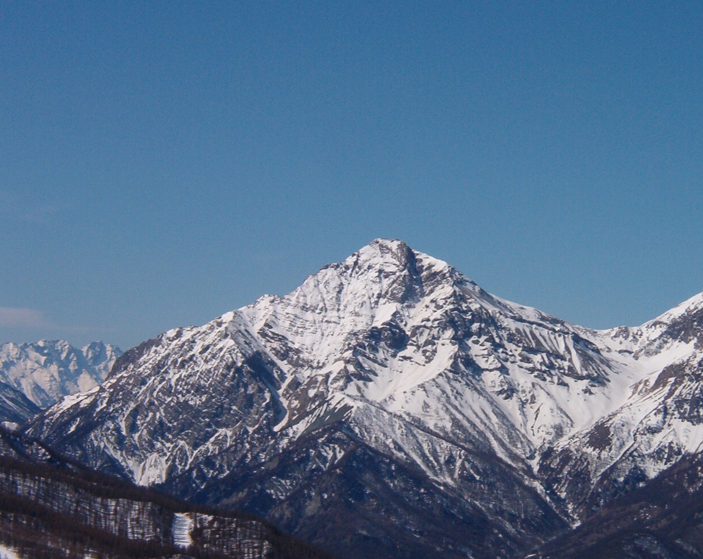 Mont Chaberton10,276 ft · Provence-Alpes-Côte d'Azur, France1 route49 mi awayPhoto: Francofranco56, Public domain (via Wikimedia Commons)
 Monte Viso12,602 ft · Piedmont, Italy1 route63 mi awayPhoto: Pmau, CC BY-SA 4.0 (via Wikimedia Commons)
 Grande Casse12,648 ft · Auvergne-Rhône-Alpes, France1 route68 mi awayPhoto: Rémih, CC BY-SA 4.0 (via Wikimedia Commons)
 Gran Paradiso13,323 ft · Aosta Valley, Italy1 route90 mi awayPhoto: Marie-Lan Taÿ Pamart, CC BY 4.0 (via Wikimedia Commons)
 Le Grand FerrandSummit · Next doorPhoto: Rémih, CC BY-SA 4.0 (via Wikimedia Commons)
 Les PrêtresSummit · ~2 min drivePhoto: Laurent de troïl, CC BY-SA 3.0 (via Wikimedia Commons)
 Tête de LauzonSummit · ~2 min drivePhoto: Pline, CC BY-SA 4.0 (via Wikimedia Commons)
 Tête des VautesSummit · ~3 min drivePhoto: Leon Bli, CC BY-SA 4.0 (via Wikimedia Commons)
 Tête de Plate LongueSummit · ~3 min drivePhoto: Pline, CC BY-SA 4.0 (via Wikimedia Commons)
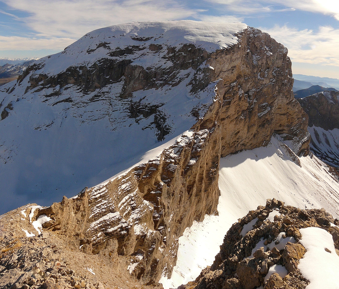 Rocher rondSummit · ~3 min drivePhoto: Nick l'Ermite, CC BY-SA 2.0 fr (via Wikimedia Commons)
 Grande Tête de l'ObiouSummit · ~6 min drivePhoto: Tournev, CC0 (via Wikimedia Commons)
 Montagne de JagèneSummit · ~7 min drivePhoto: Pline, CC BY-SA 4.0 (via Wikimedia Commons)
 Pointe FeuilletteSummit · ~7 min drivePhoto: Pline, CC BY-SA 4.0 (via Wikimedia Commons)
 Tête du Jas des ArresSummit · ~7 min drivePhoto: Cognah, CC BY-SA 4.0 (via Wikimedia Commons)

Map and trail data © OpenStreetMap contributors
