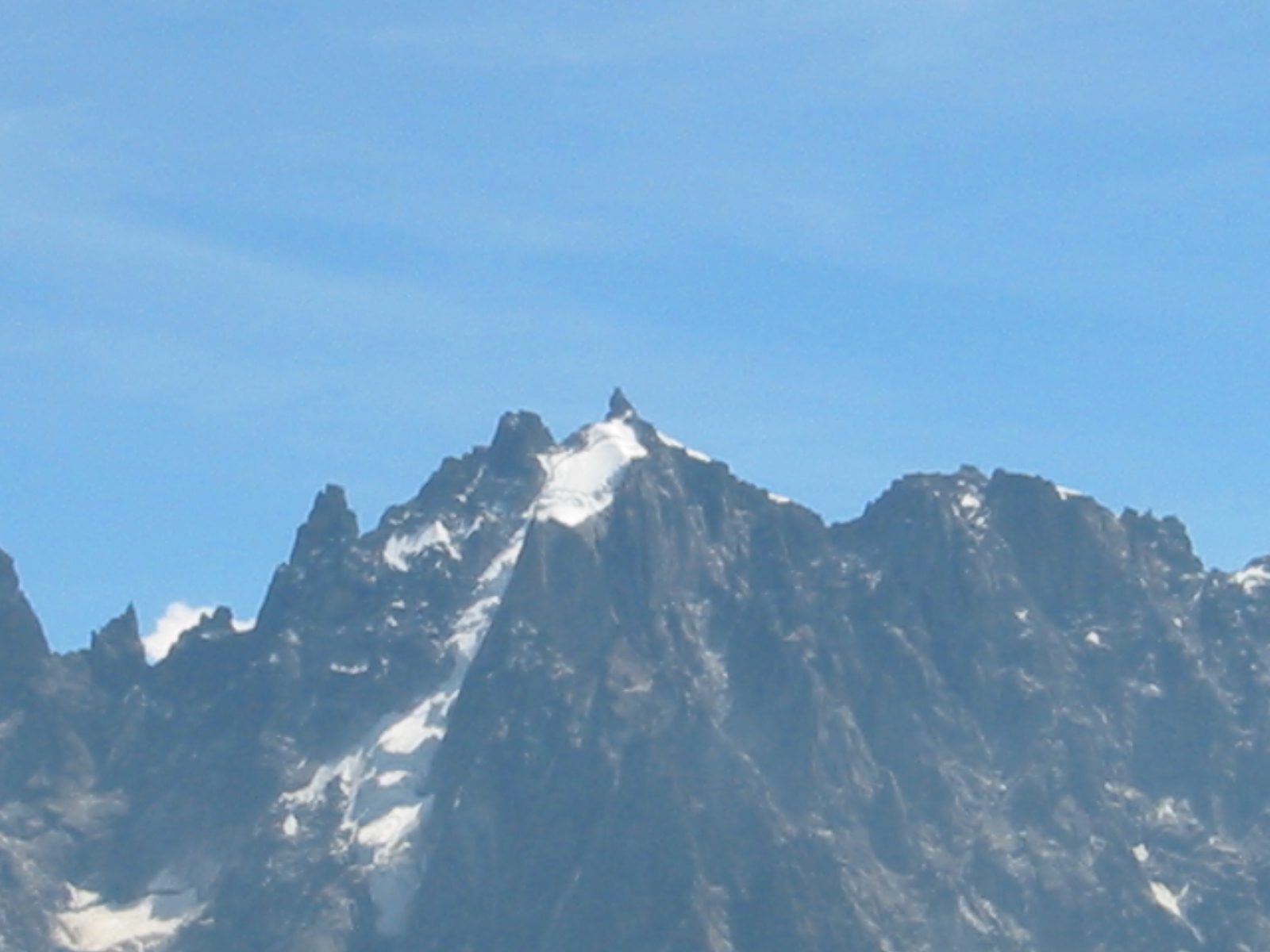
Aiguille du Peigne
 Photo: O.Taris, CC BY-SA 3.0 (via Wikimedia Commons)
- 10,472 ft
- summit
Aiguille du Peigne is a mountain in Auvergne-Rhône-Alpes, France, with its summit at about 10,470 ft (3,192 m) above sea level. No mapped trail reaches the top in OpenStreetMap, so plan the approach with local maps or a guide. The nearest town is Chamonix-Mont-Blanc, about 2.4 miles southeast of the summit. Peaks within about 3 miles include Aiguille des Pèlerins - Secteur du Plan, Dent du Crocodile and Dent du Caïman. Cascade du Dard and Cascade de Blaitière are within about 3 miles. For camping, Camping Les Arolles and Camping Île des Barrats are within about 6 miles. It is part of the Mont Blanc massif. Administratively, it is in Haute-Savoie. These details come from Wikidata. The location and elevation come from OpenStreetMap and the Copernicus 90 m elevation model. Check local access rules and conditions before you go.
Conditions and forecast
Daily highs and lows, wind and the chance of precipitation at the summit for the next 7 days, from the Open-Meteo model.
- Summit elevation
- 10,472 ft
We don't know of a mapped trail or route to the summit of Aiguille du Peigne. Plan the approach with local maps, a guidebook or a local guide, and check conditions before you go.
Questions about Aiguille du Peigne
How tall is Aiguille du Peigne?
10,472 ft (3,192 m).
Is there a trail to the top of Aiguille du Peigne?
We don't know of a mapped trail or route to the summit. Plan the approach with local maps, a guidebook or a local guide.
 Mont Blanc15,768 ft · Auvergne-Rhône-Alpes, France1 route4.7 mi awayPhoto: Christian David, CC BY-SA 4.0 (via Wikimedia Commons)
 Grandes Jorasses13,806 ft · Aosta Valley, Italy1 route4.7 mi awayPhoto: Ferrand, Henri (1853-1926). Photographe, Public domain (via Wikimedia Commons)
 Grand Combin14,137 ft · Valais, Switzerland1 route19 mi awayPhoto: Carsten Steger, CC BY-SA 4.0 (via Wikimedia Commons)
 Gran Paradiso13,323 ft · Aosta Valley, Italy1 route32 mi awayPhoto: Marie-Lan Taÿ Pamart, CC BY 4.0 (via Wikimedia Commons)
 Grande Casse12,648 ft · Auvergne-Rhône-Alpes, France1 route34 mi awayPhoto: Rémih, CC BY-SA 4.0 (via Wikimedia Commons)
 Dent Blanche14,295 ft · Valais, Switzerland1 route36 mi awayPhoto: Carsten Steger, CC BY-SA 4.0 (via Wikimedia Commons)
 Aiguille du PlanSummit · Next doorPhoto: Yann, CC BY-SA 3.0 (via Wikimedia Commons)
 Pointe LépineySummit · Next doorPhoto: Rémih, CC BY-SA 4.0 (via Wikimedia Commons)
 Aiguille du FouSummit · ~1 min drivePhoto: Rémih, CC BY-SA 4.0 (via Wikimedia Commons)
 Aiguille de BlaitièreSummit · ~1 min drivePhoto: Rémih, CC BY-SA 4.0 (via Wikimedia Commons)
 Aiguille du GréponSummit · ~2 min drivePhoto: Ximonic, Simo Räsänen, CC BY 2.5 (via Wikimedia Commons)
 Aiguille des Grands CharmozSummit · ~2 min drivePhoto: Rémih, CC BY-SA 4.0 (via Wikimedia Commons)
 Aiguille de RocSummit · ~2 min drivePhoto: Andrey Chizhov, CC BY-SA 4.0 (via Wikimedia Commons)
 Aiguille de la RépubliqueSummit · ~2 min drivePhoto: Tony Buckley, CC BY 2.0 (via Wikimedia Commons)
 Aiguille de l'MSummit · ~2 min drivePhoto: David Ballesteros, CC BY-SA 3.0 (via Wikimedia Commons)
 Petit RognonSummit · ~3 min drivePhoto: Cactus26, CC BY-SA 3.0 (via Wikimedia Commons)
Also worth it near here
 Refuge du Plan de L'AiguilleHut camping · ~2 min drivePhoto: Rémih, CC BY-SA 4.0 (via Wikimedia Commons)
 Cascade du DardWaterfall · ~3 min drivePhoto: Rémih, CC BY-SA 4.0 (via Wikimedia Commons)
 Camping Île des BarratsCamping · ~4 min drivePhoto: Rémih, CC BY-SA 4.0 (via Wikimedia Commons)
 Chamonix – Argentière – Le Petit Balcon NordMountain biking · ~4 min drivePhoto: Tiia Monto, CC BY-SA 3.0 (via Wikimedia Commons)
 Chemin du MontenversHiking · ~5 min drivePhoto: Rémih, CC BY-SA 4.0 (via Wikimedia Commons)
Map and trail data © OpenStreetMap contributors
