Piste Classique Retiède
- 1.4 mi
- round trip
- 138 ft
- climb
- 4,557 ft
- high point
- Out and back
- route
Piste Classique Retiède is an out-and-back cross-country ski trail in Auvergne-Rhône-Alpes, France, inside Parc naturel régional du Massif des Bauges. It is 0.7 miles each way, 1.4 miles there and back. It stays at about 4,560 ft above sea level and is close to flat. It is mapped as an easy route. It is a lightly prepared backcountry track rather than a machine-groomed trail. The nearest town is Méry, about 2.4 miles northeast of the start. Peaks within about 3 miles include Le Rebollion, L'Orionde and Molard de la Gaillarde. Cascade de la Parchale is within about 3 miles. For camping, Aire de bivouac - véhicule and Aire de bivouac - tente are within about 6 miles. There are 14 other mapped trails within about 3 miles, so you can combine or extend the outing. Distances, elevations and the trail shape here come from OpenStreetMap and the Copernicus 90 m elevation model. Grooming and snow conditions change daily, so check the local trail report before you go.
Keep exploring — more snow worth the drive
 Photo: Patrice78500, CC BY-SA 3.0 (via Wikimedia Commons)
Crêt Luisard
~40 min drive
An out-and-back cross-country ski trail in Auvergne-Rhône-Alpes, France.
 Photo: Guilhem Vellut from Annecy, France, CC BY 2.0 (via Wikimedia Commons)
Sulens Par col du marais
~38 min drive
An out-and-back ski touring route in Auvergne-Rhône-Alpes, France.
Itineraire Randonée Nordique - Refuge du Creux de Lachat
~9 min drive
A 2.3-mile cross-country ski trail in Auvergne-Rhône-Alpes, France.
Piste des Playères
~37 min drive
A 2.8-mile cross-country ski trail that makes a loop in Auvergne-Rhône-Alpes, France.
Chemin de l'Émeindra
~48 min drive
An out-and-back cross-country ski trail in Auvergne-Rhône-Alpes, France.
Côte Brume
~50 min drive
A 1.6-mile ski touring route that makes a loop in Auvergne-Rhône-Alpes, France.
 Photo: Guilhem Vellut from Annecy, France, CC BY 2.0 (via Wikimedia Commons)
Le Plateau
~44 min drive
A 1.8-mile cross-country ski trail that makes a loop in Auvergne-Rhône-Alpes, France.
La Marge
~6 min drive
An out-and-back ski touring route in Auvergne-Rhône-Alpes, France.
Les Cros
~39 min drive
A 3.9-mile cross-country ski trail in Auvergne-Rhône-Alpes, France.
Liaison St Hillaire - Col de Marcieu
~37 min drive
An out-and-back cross-country ski trail in Auvergne-Rhône-Alpes, France.
Also worth it near here
 Photo: Florian Pépellin, CC BY-SA 3.0 (via Wikimedia Commons)
Aire de bivouac du Sire
~3 min drive
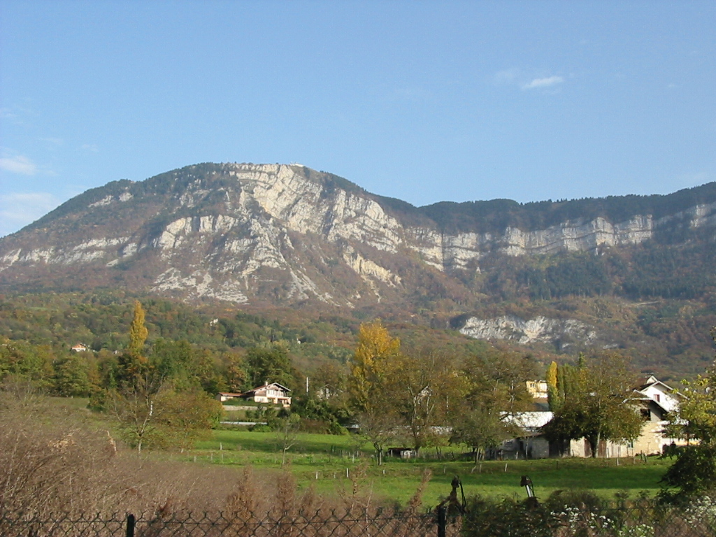 Photo: No machine-readable author provided. Cham assumed (based on copyright claims)., CC BY-SA 2.5 (via Wikimedia Commons)
Mont Revard
~3 min drive
Refuge La Plate
~7 min drive
 Photo: Florian Pépellin, CC BY-SA 3.0 (via Wikimedia Commons)
Grande Cascade de la Doria
~7 min drive
 Photo: Florian Pépellin, CC BY-SA 4.0 (via Wikimedia Commons)
Plage du Lido
~7 min drive
Conditions and forecast
Daily highs and lows, wind and the chance of precipitation at Piste Classique Retiède for the next 7 days, from the Open-Meteo model.
Map and trail data © OpenStreetMap contributors
