De Monistrol-d'Allier à Pont d'Alleyras
 Photo: Rémih, CC BY-SA 4.0 (via Wikimedia Commons)
- 8.6 mi
- one way
- 2,281 ft
- climb
- 3,055 ft
- high point
- Point to point
- route
De Monistrol-d'Allier à Pont d'Alleyras is a 8.6-mile point-to-point route in Auvergne-Rhône-Alpes, France. It runs between about 2,010 ft and 3,060 ft above sea level, with roughly 2,280 ft of climbing one way. It is mapped as a named hiking route, with the sections joined into one trail here. It is on the edge of Monistrol-d'Allier. For camping, Le Vivier and Municipal Le Marchat are within about 6 miles. Distances, elevations and the route shape here come from OpenStreetMap and the Copernicus 90 m elevation model. Trails, access rules and conditions change, so check locally before you go.
Keep exploring — more trails worth the drive
 Photo: LeZibou, CC BY-SA 4.0 (via Wikimedia Commons)
De Prades à Monistrol d'Allier
~8 min drive
A 7.6-mile point-to-point route in Auvergne-Rhône-Alpes, France.
Chemin de la Genévrière
~41 min drive
An out-and-back trail, 0.5 miles each way (0.9 miles round trip) in Auvergne-Rhône-Alpes, France.
Chemin de Mezilhac à Burzet
~58 min drive
A 1.4-mile point-to-point route in Auvergne-Rhône-Alpes, France.
Chemin des Granges
~60 min drive
A 3.1-mile point-to-point route in Auvergne-Rhône-Alpes, France.
 Photo: LeZibou, CC BY-SA 4.0 (via Wikimedia Commons)
De Langeac à Prades
~8 min drive
A 12-mile point-to-point route in Auvergne-Rhône-Alpes, France.
Chemin de Chenebeyre au Mazel
~45 min drive
An out-and-back trail, 0.9 miles each way (1.9 miles round trip) in Auvergne-Rhône-Alpes, France.
Le Sentier des Ferjasses
~59 min drive
A 3.9-mile point-to-point route in Auvergne-Rhône-Alpes, France.
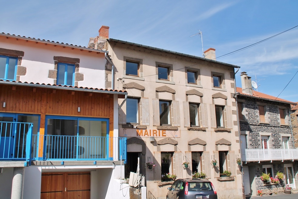 Photo: Bastien marie-françoise, CC BY-SA 4.0 (via Wikimedia Commons)
Chavaniac-Lafayette – Saint-Jean-de-Nay
~13 min drive
A 14-mile point-to-point route in Auvergne-Rhône-Alpes, France.
 Photo: Maciej Poltorak / Vanupied, CC BY 4.0 (via Wikimedia Commons)
De Lavoûte-Chilhac à Langeac
~29 min drive
A 11-mile point-to-point route in Auvergne-Rhône-Alpes, France.
 Photo: Yzergues, CC BY-SA 4.0 (via Wikimedia Commons)
De Jagonas à Pradelles
~31 min drive
A 6.5-mile point-to-point route in Auvergne-Rhône-Alpes, France.
Also worth it near here
 Photo: Jeandu43, CC BY-SA 4.0 (via Wikimedia Commons)
La garde Mercoeur
~5 min drive
 Photo: Cywil, CC BY-SA 4.0 (via Wikimedia Commons)
Cascades de la Besque
~8 min drive
 Photo: Bastien marie-françoise, CC BY-SA 4.0 (via Wikimedia Commons)
Panorama sur l'Allier
~14 min drive
Plage de l’Île d'Amour
~19 min drive
 Photo: W. Bulach, CC BY-SA 4.0 (via Wikimedia Commons)
Camping du Puy-en-Velay
~22 min drive
Conditions and forecast
Daily highs and lows, wind and the chance of precipitation at De Monistrol-d'Allier à Pont d'Alleyras for the next 7 days, from the Open-Meteo model.
Map and trail data © OpenStreetMap contributors
