Chemin des Noyers
- 0.4 mi
- round trip
- 414 ft
- climb
- 2,820 ft
- high point
- Out and back
- route
Chemin des Noyers is an out-and-back trail, 0.4 miles each way (0.7 miles round trip) in Auvergne-Rhône-Alpes, France. It runs between about 2,460 ft and 2,820 ft above sea level, with roughly 30 ft of climbing one way. It is a mountain path with steeper and uneven sections, so wear proper hiking shoes. Most of the way is dirt. The nearest town is Passy, about 1.0 miles northeast of the trailhead. Peaks within about 3 miles include Aiguille de Varan, Aiguille Rouge and Le Sautet. Cascade de Coeur and Cascade de Reninge are within about 3 miles. For camping, Mont Blanc Plage and Aire naturelle de camping de Passy Plaine-Joux are within about 6 miles. There are 7 other mapped trails within about 3 miles, so you can combine or extend the outing. Distances, elevations and the route shape here come from OpenStreetMap and the Copernicus 90 m elevation model. Trails, access rules and conditions change, so check locally before you go.
Keep exploring — more trails worth the drive
 Photo: Sergey Ashmarin, CC BY-SA 3.0 (via Wikimedia Commons)
Tour du Mont Blanc - Itinéraire principal
~9 min drive
A 4.1-mile point-to-point route in Auvergne-Rhône-Alpes, France.
 Photo: Rémih, CC BY-SA 4.0 (via Wikimedia Commons)
Chemin des Rognes
~11 min drive
An out-and-back trail, 2.0 miles each way (4.0 miles round trip) in Auvergne-Rhône-Alpes, France.
HIKE
Chemin de Charbonnière
~2 min drive
A 0.9-mile point-to-point route in Auvergne-Rhône-Alpes, France.
HIKE
Pas du Lançoir
~6 min drive
An out-and-back trail, 1.3 miles each way (2.5 miles round trip) in Auvergne-Rhône-Alpes, France.
HIKE
Promenade du Bois Prin
~12 min drive
A 0.5-mile point-to-point route in Auvergne-Rhône-Alpes, France.
 Photo: Tiia Monto, CC BY-SA 3.0 (via Wikimedia Commons)
Les Tines – Argentière
~17 min drive
A 2.6-mile point-to-point route in Auvergne-Rhône-Alpes, France.
 Photo: marsupilami51, CC BY 3.0 (via Wikimedia Commons)
Accès au Col des Verts
~13 min drive
An out-and-back trail, 0.3 miles each way (0.6 miles round trip) in Auvergne-Rhône-Alpes, France.
HIKE
Chemin du Maquis
~3 min drive
A 1.2-mile point-to-point route in Auvergne-Rhône-Alpes, France.
HIKE
Passage du Dérochoir
~7 min drive
An out-and-back trail, 1.1 miles each way (2.3 miles round trip) in Auvergne-Rhône-Alpes, France.
HIKE
Chemin de la Filiaz
~17 min drive
A 1.5-mile point-to-point route in Auvergne-Rhône-Alpes, France.
Also worth it near here
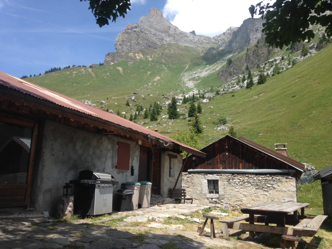 Photo: Djailla82, CC BY-SA 4.0 (via Wikimedia Commons)
Refuge de Varan
~2 min drive
 Photo: DimiTalen, CC0 (via Wikimedia Commons)
Bords de l'Arve et Lac de Passy
~2 min drive
 Photo: Rémih, CC BY-SA 4.0 (via Wikimedia Commons)
Aiguille de Varan
~4 min drive
 Photo: Guilhem Vellut from Annecy, France, CC BY 2.0 (via Wikimedia Commons)
Aire naturelle de camping de Passy Plaine-Joux
~4 min drive
 Photo: Rémih, CC BY-SA 4.0 (via Wikimedia Commons)
Cascade de Crépin
~4 min drive
Conditions and forecast
Daily highs and lows, wind and the chance of precipitation at Chemin des Noyers for the next 7 days, from the Open-Meteo model.
Map and trail data © OpenStreetMap contributors
