Kanoti
- At 751 ft
Kanoti is a campground in Auvergne-Rhône-Alpes, France, at about 750 ft above sea level. OpenStreetMap lists drinking water, showers and electric hookups. Trails within about a mile include Clennaz – Yenne, Yenne – Sylve-Bénite and Yenne – Grenoble. It is on the edge of Yenne. Peaks within about 3 miles include Mont Chevreaux and Mont de Lierre. For camping, Le Bol d’Air and Camping des Lacs are within about 6 miles. The location and elevation come from OpenStreetMap and the Copernicus 90 m elevation model. Check local access rules and conditions before you go.
Keep exploring — more campsites worth the drive
 Photo: Vanbaaddi87, CC BY-SA 4.0 (via Wikimedia Commons)
Camping Huttopia Lac d'Aiguebelette
~18 min drive
A campground in Auvergne-Rhône-Alpes, France.
SEE
Cabane de l'ancien stade de neige
~12 min drive
An unstaffed wilderness hut in Auvergne-Rhône-Alpes, France.
 Photo: Florian Pépellin, CC BY-SA 3.0 (via Wikimedia Commons)
Aire de bivouac du Sire
~19 min drive
An informal camping spot in Auvergne-Rhône-Alpes, France.
 Photo: Florian Pépellin, CC BY-SA 4.0 (via Wikimedia Commons)
Aire de bivouac du Sire 2
~19 min drive
A campground in Auvergne-Rhône-Alpes, France.
BED
Le Bol d’Air
~5 min drive
A campground in Auvergne-Rhône-Alpes, France.
BED
Camping des Lacs
~6 min drive
A campground in Auvergne-Rhône-Alpes, France.
BED
Camping du Lac du Lit du Roi
~7 min drive
A campground in Auvergne-Rhône-Alpes, France.
BED
Camping municipal Le Bel Air
~10 min drive
A campground in Auvergne-Rhône-Alpes, France.
BED
Camping de l'Île aux Cygnes
~11 min drive
A campground in Auvergne-Rhône-Alpes, France.
BED
Camping International du Sierroz
~11 min drive
A campground in Auvergne-Rhône-Alpes, France.
Also worth it near here
 Photo: Whatismoss, CC BY-SA 4.0 (via Wikimedia Commons)
Chemin des Pierres Plates
~7 min drive
 Photo: Florian Pépellin, CC BY-SA 3.0 (via Wikimedia Commons)
Molard Noir
~7 min drive
 Photo: Florian Pépellin, CC BY-SA 4.0 (via Wikimedia Commons)
Plage de Charpignat
~10 min drive
 Photo: Mathis73 B., CC BY-SA 4.0 (via Wikimedia Commons)
Savoie Rando Lac à VTT - Accès
~12 min drive
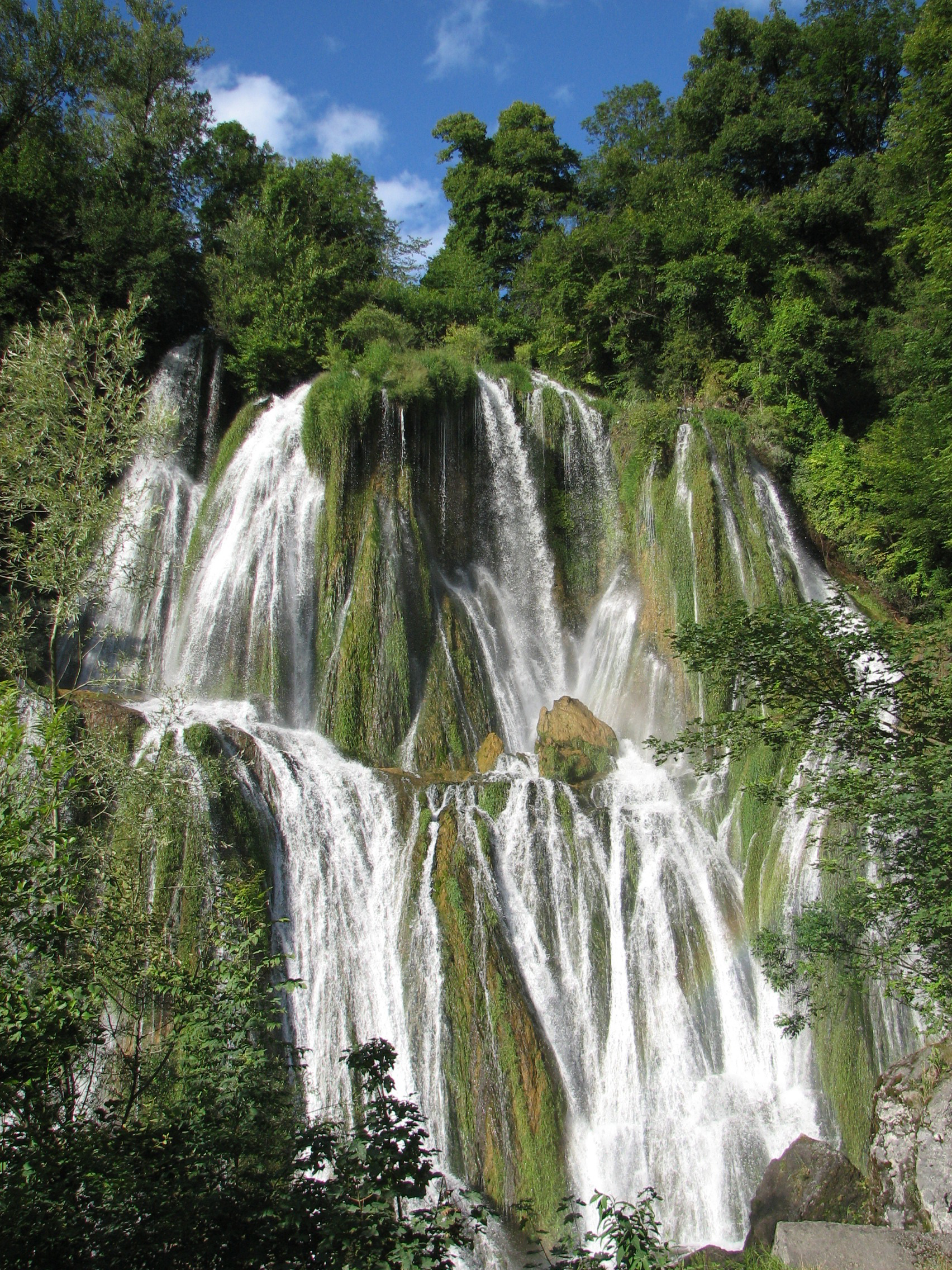 Photo: Tonton Mourial, CC BY-SA 3.0 (via Wikimedia Commons)
Cascade de Glandieu
~13 min drive
Conditions and forecast
Daily highs and lows, wind and the chance of precipitation at Kanoti for the next 7 days, from the Open-Meteo model.
Map and trail data © OpenStreetMap contributors
