Kanopée Village
- At 560 ft
Kanopée Village is a campground in Auvergne-Rhône-Alpes, France, at about 560 ft above sea level. OpenStreetMap lists drinking water, showers and electric hookups. Camping here is paid. It is on the edge of Trévoux. For camping, Camping Portes du Beaujolais and Camping de l'Écluse are within about 6 miles. The location and elevation come from OpenStreetMap and the Copernicus 90 m elevation model. Check local access rules and conditions before you go.
Keep exploring — more campsites worth the drive
 Photo: Pierre Baizet, CC BY-SA 4.0 (via Wikimedia Commons)
Camping l'Oasis des Dombes
~13 min drive
A campground in Auvergne-Rhône-Alpes, France.
 Photo: Chabe01, CC BY-SA 4.0 (via Wikimedia Commons)
Camping municipal de Messimy-sur-Saône
~13 min drive
A campground in Auvergne-Rhône-Alpes, France.
 Photo: Dickelbers, CC BY-SA 4.0 (via Wikimedia Commons)
CityKamp - Camping de Lyon
~14 min drive
A campground in Auvergne-Rhône-Alpes, France.
 Photo: Alkannoide, CC BY-SA 4.0 (via Wikimedia Commons)
La Chalaronne
~28 min drive
A campground in Auvergne-Rhône-Alpes, France.
 Photo: Chabe01, CC BY-SA 4.0 (via Wikimedia Commons)
Grappe Fleurie
~30 min drive
A campground in Auvergne-Rhône-Alpes, France.
 Photo: Sebleouf, CC BY-SA 3.0 (via Wikimedia Commons)
Camping municipal de Cublize
~33 min drive
A campground in Auvergne-Rhône-Alpes, France.
 Photo: Chabe01, CC BY-SA 4.0 (via Wikimedia Commons)
Camping du Lac
~37 min drive
A campground in Auvergne-Rhône-Alpes, France.
 Photo: Sebleouf, CC BY-SA 4.0 (via Wikimedia Commons)
Les Plages de l'Ain
~38 min drive
A campground in Auvergne-Rhône-Alpes, France.
BED
Camping Portes du Beaujolais
~3 min drive
A campground in Auvergne-Rhône-Alpes, France.
BED
Camping de l'Écluse
~5 min drive
A campground in Auvergne-Rhône-Alpes, France.
Also worth it near here
 Photo: Romainbehar, CC0 (via Wikimedia Commons)
Ponton de mise à l’eau de Anse
~3 min drive
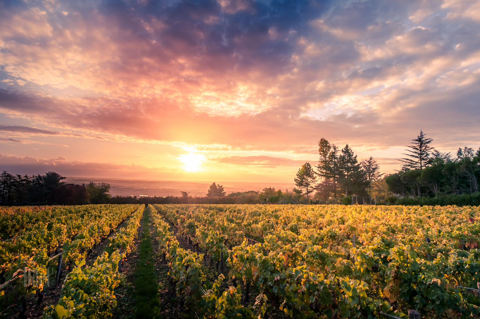 Photo: DEO 77, CC BY-SA 4.0 (via Wikimedia Commons)
Notre-Dame-de-Buisante
~6 min drive
 Photo: This picture belongs to Xavier Caré.
Please credit : Xavier Caré / Wikimedia Commons / CC-BY-SA.
If you would like special permission to use, license, or purchase the image please contact me to negotiate terms.
I'd appreciate if you could let me know about it or mail me ( xavier.carepm.me) if you want to use this picture out of the Wikimedia project scope., CC BY-SA 3.0 (via Wikimedia Commons)
Sentier du Mont Thou
~12 min drive
 Photo: Noé, CC BY-SA 4.0 (via Wikimedia Commons)
Chemin de Narcel
~12 min drive
 Photo: Benoît Prieur, CC0 (via Wikimedia Commons)
Plage du Morlet
~21 min drive
Conditions and forecast
Daily highs and lows, wind and the chance of precipitation at Kanopée Village for the next 7 days, from the Open-Meteo model.
Map and trail data © OpenStreetMap contributors
