Camping municipal
- At 695 ft
Camping municipal is a campground in Auvergne-Rhône-Alpes, France, at about 690 ft above sea level. It is on the edge of Morestel. Peaks within about 3 miles include Mont Patichou. For camping, La Tour des Saveurs and Camping Les 3 Lacs du Soleil are within about 6 miles. The location and elevation come from OpenStreetMap and the Copernicus 90 m elevation model. Check local access rules and conditions before you go.
Keep exploring — more campsites worth the drive
 Photo: Sebleouf, CC BY-SA 4.0 (via Wikimedia Commons)
Les Plages de l'Ain
~28 min drive
A campground in Auvergne-Rhône-Alpes, France.
SEE
Cabane de l'ancien stade de neige
~29 min drive
An unstaffed wilderness hut in Auvergne-Rhône-Alpes, France.
BED
La Tour des Saveurs
~6 min drive
A campground in Auvergne-Rhône-Alpes, France.
BED
Camping Les 3 Lacs du Soleil
~9 min drive
A campground in Auvergne-Rhône-Alpes, France.
BED
Camping del Padel
~10 min drive
A campground in Auvergne-Rhône-Alpes, France.
BED
Camping l’Île aux Perdrix
~12 min drive
A campground in Auvergne-Rhône-Alpes, France.
BED
La chèvre verte
~14 min drive
A campground in Auvergne-Rhône-Alpes, France.
BED
Goute La Vie
~14 min drive
A campground in Auvergne-Rhône-Alpes, France.
BED
L'Île de la Comtesse
~16 min drive
A campground in Auvergne-Rhône-Alpes, France.
BED
Le Point Vert
~17 min drive
A campground in Auvergne-Rhône-Alpes, France.
Also worth it near here
SEE
Port Saint Jean
~7 min drive
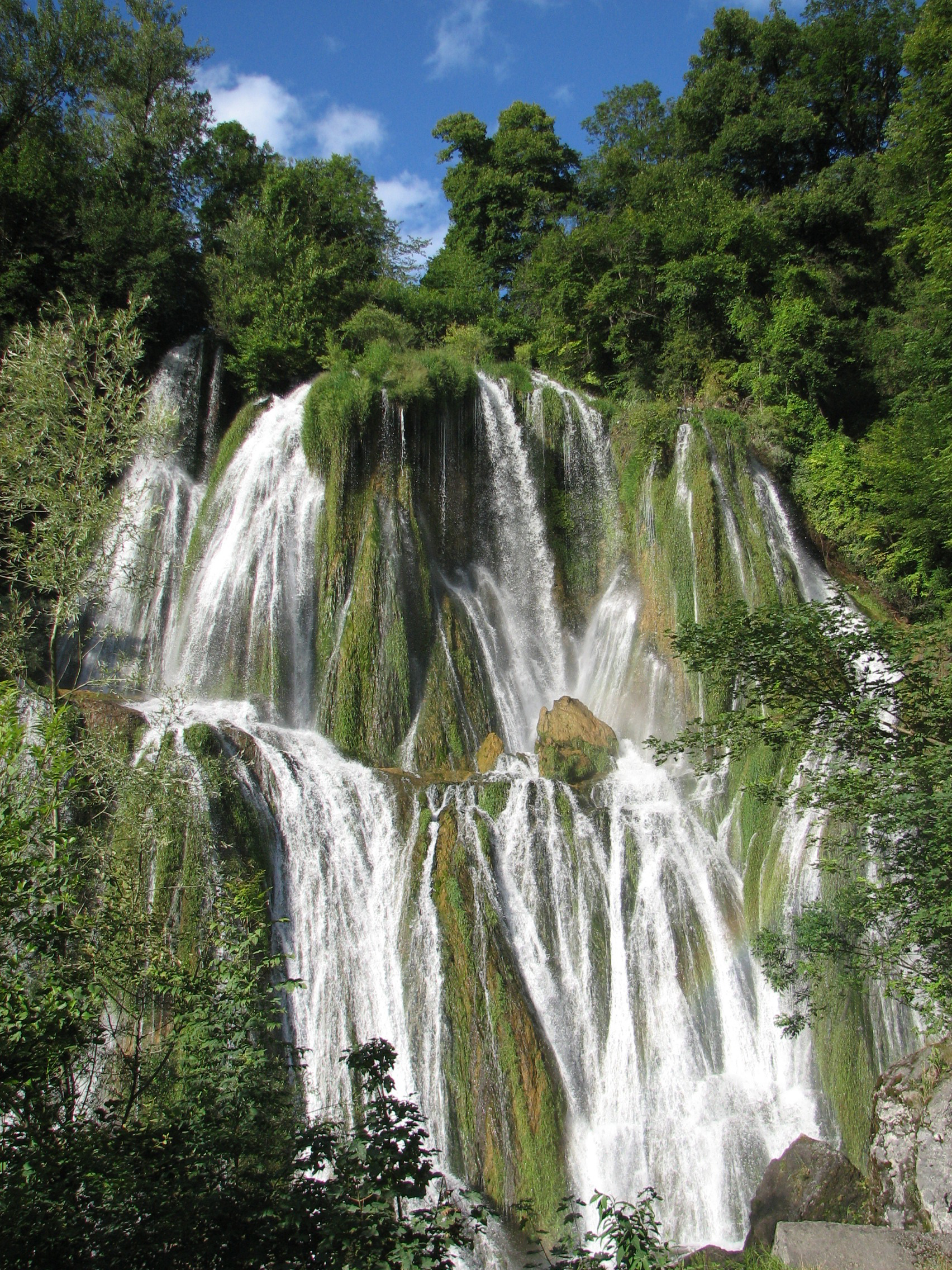 Photo: Tonton Mourial, CC BY-SA 3.0 (via Wikimedia Commons)
Cascade de Glandieu
~12 min drive
 Photo: Tonton Mourial, CC BY-SA 3.0 (via Wikimedia Commons)
Mont de Cordon
~14 min drive
 Photo: Dirk Jan van Zoest, CC BY 3.0 (via Wikimedia Commons)
Pays du lac d'Aiguebelette: Circuit VTT FFCT n°25 - Les falaises de Rochefort (rouge)
~24 min drive
 Photo: Pemberlaid, CC BY-SA 4.0 (via Wikimedia Commons)
Plage municipale de Paladru
~25 min drive
Conditions and forecast
Daily highs and lows, wind and the chance of precipitation at Camping municipal for the next 7 days, from the Open-Meteo model.
Map and trail data © OpenStreetMap contributors
