Barakako bidea
- 1.8 mi
- round trip
- 1,220 ft
- climb
- 1,178 ft
- high point
- Out and back
- route
- Jun–Aug
- best months
Barakako bidea is an out-and-back trail, 1.8 miles each way (3.7 miles round trip) in Navarre, Spain, inside Bidasoa ibaia. It runs between about 80 ft and 1,180 ft above sea level, with roughly 1,160 ft of climbing one way. It is a mountain path with steeper and uneven sections, so wear proper hiking shoes. The nearest town is Bera, about 2.6 miles west of the trailhead. Peaks within about 3 miles include Eskolamendi, Bonoko Kaskoa and Azperra. Aitzondoko ur-jauzia and Aitzondo are within about 3 miles. For camping, Soroeta - Zona de Acampada Controlada is within about 6 miles. There are 9 other mapped trails within about 3 miles, so you can combine or extend the outing. Distances, elevations and the route shape here come from OpenStreetMap and the Copernicus 90 m elevation model. Trails, access rules and conditions change, so check locally before you go.
Conditions and forecast
Daily highs and lows, wind and the chance of precipitation at Barakako bidea for the next 7 days, from the Open-Meteo model.
 Bera (GR11) - Ibardin (GR10)Hiking · ~4 min drivePhoto: Iñaki LL, CC BY-SA 4.0 (via Wikimedia Commons)
 AzkuaHiking · ~10 min drivePhoto: Ksarasola, CC BY-SA 4.0 (via Wikimedia Commons)
- LarunHiking · ~4 min drive
- Pasai San Pedroko bideaHiking · ~18 min drive
- Meazuriko biraHiking · ~3 min drive
- Enbidoko aldapaHiking · ~5 min drive
- Mendigibeleko bideaHiking · ~5 min drive
- E15 Epaipide ibilbidea: Aritxulegi - BehobiaHiking · ~6 min drive
- Chemin de BortusteHiking · ~6 min drive
- Aiako Harriko bihotzaHiking · ~10 min drive
Also worth it near here
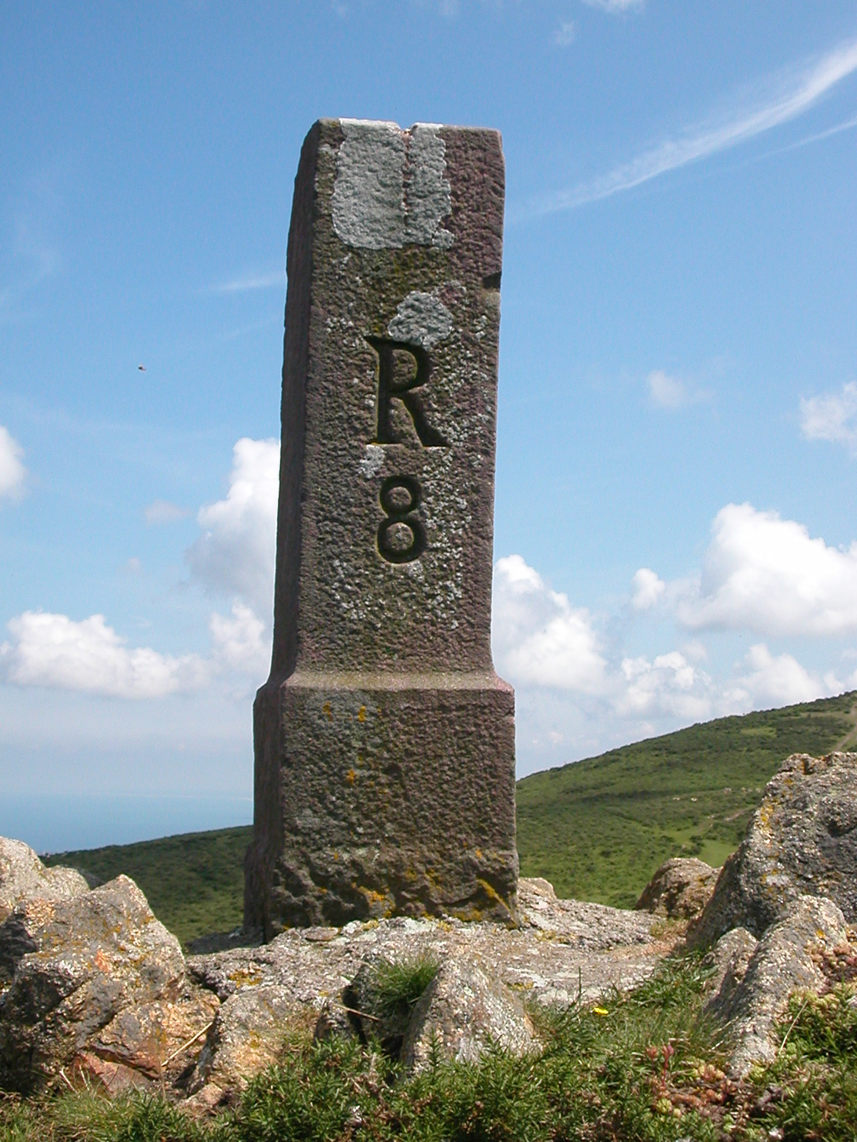 ManttaleSummit · ~3 min drivePhoto: Pymouss44, CC BY-SA 3.0 (via Wikimedia Commons)
- Soroeta - Zona de Acampada ControladaCamping · ~3 min drive
 Aitzondoko ur-jauziaWaterfall · ~4 min drivePhoto: Ksarasola, CC BY-SA 4.0 (via Wikimedia Commons)
 Le sentier d'IbardinMountain biking · ~4 min drivePhoto: Haukingham, CC BY 3.0 (via Wikimedia Commons)
- Arrano XolaHut camping · ~9 min drive
Best time to visit Barakako bidea
Best months: June–August. Best months have typical highs of 55–85 °F, lows of 30 °F or warmer (32 °F where there's no snowfall data), at most one snowy day and no more than 12 wet days.
Jan
51° / 41°
16 wet
Feb
52° / 41°
14 wet
Mar
57° / 44°
15 wet
Apr
59° / 46°
17 wet
May
65° / 52°
17 wet
Jun
69° / 56°
12 wet
Jul
73° / 60°
12 wet
Aug
74° / 61°
12 wet
Sep
71° / 58°
13 wet
Oct
66° / 54°
15 wet
Nov
57° / 46°
15 wet
Dec
52° / 42°
17 wet
Typical high / low (°F) and days with rain or snow, 1981–2010. Modelled for the 1 km square this place sits in (average height 502 ft), not measured at a weather station. The square averages about 700 ft lower than this place, so expect it a little cooler here. Snowfall days aren't in this data. Source: CHELSA 1 km climate model (1981–2010) and CRU TS 4.09 wet days. Data: CHELSA V2.1 climatologies (Karger et al. 2017), WSL (CC0 1.0); CRU TS 4.09 (Harris et al. 2020), University of East Anglia Climatic Research Unit. Contains public sector information licensed under the Open Government Licence v3.0. (Open Government Licence v3.0).
Map and trail data © OpenStreetMap contributors
