HRP Étape 26
- 7.8 mi
- one way
- 5,007 ft
- climb
- 8,522 ft
- high point
- Point to point
- route
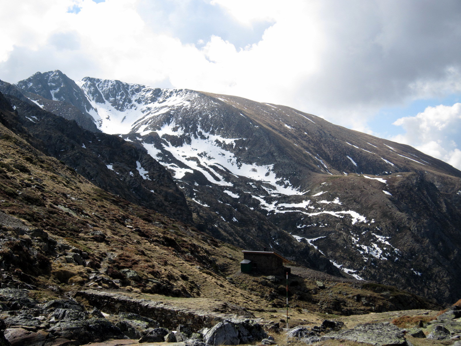
HRP Étape 26 is a 7.8-mile point-to-point route in Catalonia, Spain. It runs between about 4,170 ft and 8,520 ft above sea level, with roughly 5,010 ft of climbing one way. It is mapped as a named hiking route, with the sections joined into one trail here. The nearest town is València d'Àneu, about 4.6 miles north of the trailhead. Peaks within about 3 miles include Pic d'Àtics, Pic de Pilàs and Estanyardo. Distances, elevations and the route shape here come from OpenStreetMap and the Copernicus 90 m elevation model. Trails, access rules and conditions change, so check locally before you go.
Conditions and forecast
Daily highs and lows, wind and the chance of precipitation at HRP Étape 26 for the next 7 days, from the Open-Meteo model.
 Camí de l'Estany de la GolaHiking · ~7 min drivePhoto: Simonjoan, CC BY 3.0 (via Wikimedia Commons)
 Ramat de Camins. Etapa 7 : Ribera de Cardós => EscalóHiking · ~19 min drivePhoto: Vicenç Vilà Serra, CC BY-SA 4.0 (via Wikimedia Commons)
 Cresta occidental de la Pica d'EstatsHiking · ~26 min drivePhoto: EliziR, CC BY-SA 3.0 (via Wikimedia Commons)
- Camí d'AirotoHiking · ~5 min drive
- Chemin de BédechHiking · ~10 min drive
 Camí de GerberHiking · ~12 min drivePhoto: Joaquim Morelló, Public domain (via Wikimedia Commons)
 La Comté – Aulus-les-BainsHiking · ~23 min drivePhoto: Tournasol7, CC BY 4.0 (via Wikimedia Commons)
- Cresta Besiberri (AD)Hiking · ~26 min drive
- Camí de Mont-roigHiking · ~8 min drive
- Variant Refugi del Pla de la FontHiking · ~15 min drive
Also worth it near here
 Pic de QüencaSummit · ~4 min drivePhoto: Wikiwiki, CC BY-SA 4.0 (via Wikimedia Commons)
 Cascada de SartariWaterfall · ~7 min drivePhoto: BIG4478, CC BY-SA 4.0 (via Wikimedia Commons)
 Gîte de Couflens SalauHut camping · ~10 min drivePhoto: Kolossus, CC BY-SA 3.0 (via Wikimedia Commons)
- Aire de bivouac des EstagnousCamping · ~12 min drive
Map and trail data © OpenStreetMap contributors
