Zona periférica de protección
- Mar–Jun, Sep–Nov
- best months
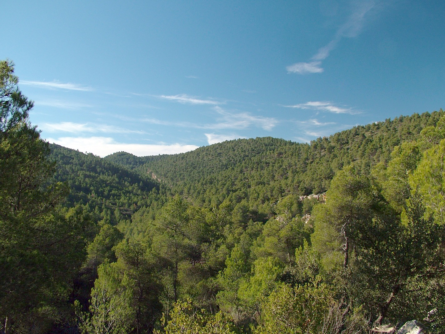
Zona periférica de protección is a protected natural area in Castilla–La Mancha, Spain, covering about 19,500 acres (79 km²). Its peaks include Peña del Puntal and Cerro Lobo. Elevations inside the park range from about 3,490 ft to 3,520 ft. The nearest town is Yeste, about 3.0 miles northwest of the park's centre. The boundary comes from OpenStreetMap. Check the park's own rules, fees and opening hours before you go.
Conditions and forecast
Daily highs and lows, wind and the chance of precipitation at Zona periférica de protección for the next 7 days, from the Open-Meteo model.
Park size
19,497 acres
 Parque Natural de la Sierra de Cazorla, Segura y las VillasState park · ~52 min drivePhoto: Ncs10, CC BY-SA 4.0 (via Wikimedia Commons)
 Monumento Natural Pitón Volcánico de CancarixState park · ~1h 9m drivePhoto: No machine-readable author provided. Darabuc~commonswiki assumed (based on copyright claims)., Public domain (via Wikimedia Commons)
 Parque Natural Sierra de CastrilState park · ~1h 13m drivePhoto: José Sánchez Rodríguez y Rafael Palomo López, CC BY-SA 3.0 (via Wikimedia Commons)
 Zona de Especial Protección para Aves Sierras de Burete, Lavia y CambrónState park · ~1h 17m drivePhoto: Catarras, CC BY-SA 3.0 (via Wikimedia Commons)
 Parque Natural de las Lagunas de RuideraState park · ~1h 23m drivePhoto: M.Peinado from Alcalá de Henares, España, CC BY 2.0 (via Wikimedia Commons)
 Parque Natural Sierra de María-Los VélezState park · ~1h 25m drivePhoto: Mario Borrasca, CC BY-SA 4.0 (via Wikimedia Commons)
- Microrreserva de Peñas ColoradasState park · ~5 min drive
- Microrreserva Ardal y TinjarraState park · ~8 min drive
- Parque Natural de los Calares del Mundo y de la SimaState park · ~8 min drive
- Microrreserva La Molata y Los BatanesState park · ~29 min drive
Best time to visit Zona periférica de protección
Best months: March–June and September–November. Best months have typical highs of 55–85 °F, lows of 30 °F or warmer (32 °F where there's no snowfall data), at most one snowy day and no more than 12 wet days.
Jan
51° / 36°
13 wet
Feb
54° / 37°
12 wet
Mar
60° / 41°
11 wet
Apr
64° / 44°
12 wet
May
71° / 51°
11 wet
Jun
82° / 59°
6 wet
Jul
90° / 65°
4 wet
Aug
89° / 65°
5 wet
Sep
80° / 59°
8 wet
Oct
69° / 51°
11 wet
Nov
58° / 43°
12 wet
Dec
52° / 38°
14 wet
Typical high / low (°F) and days with rain or snow, 1981–2010. Modelled for the 1 km square this place sits in (average height 2,300 ft), not measured at a weather station. We don't have this place's elevation, so higher spots nearby can run cooler. Snowfall days aren't in this data. Source: CHELSA 1 km climate model (1981–2010) and CRU TS 4.09 wet days. Data: CHELSA V2.1 climatologies (Karger et al. 2017), WSL (CC0 1.0); CRU TS 4.09 (Harris et al. 2020), University of East Anglia Climatic Research Unit. Contains public sector information licensed under the Open Government Licence v3.0. (Open Government Licence v3.0).
Map and trail data © OpenStreetMap contributors
