Canal de Lechugales
- 1.2 mi
- round trip
- 3,423 ft
- climb
- 7,789 ft
- high point
- Out and back
- route
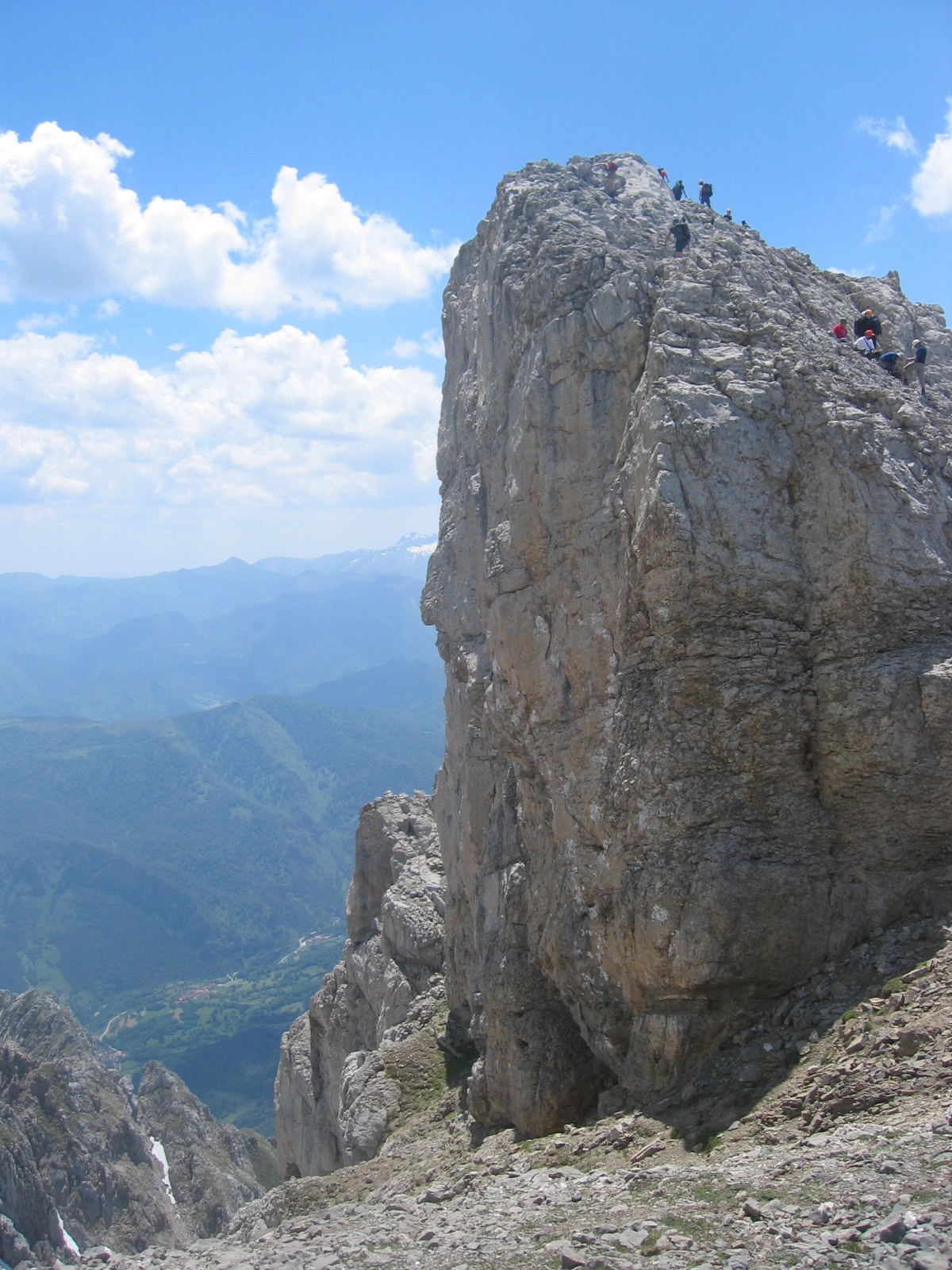
Canal de Lechugales is an out-and-back trail, 1.2 miles each way (2.5 miles round trip) in Cantabria, Spain, inside Parque Nacional de Picos de Europa. It runs between about 4,370 ft and 7,790 ft above sea level, with roughly 3,420 ft of climbing one way. It is alpine hiking on rough, exposed ground where you may need your hands for balance; it is for experienced hikers. Most of the way is natural ground. The nearest town is Camaleño, about 2.7 miles northwest of the trailhead. Peaks within about 3 miles include Piedras Negras, Pico de la Celá Roque and Pico Prao la Llampa. For camping, San Pelayo and La Isla are within about 6 miles. There are 8 other mapped trails within about 3 miles, so you can combine or extend the outing. Distances, elevations and the route shape here come from OpenStreetMap and the Copernicus 90 m elevation model. Trails, access rules and conditions change, so check locally before you go.
Conditions and forecast
Daily highs and lows, wind and the chance of precipitation at Canal de Lechugales for the next 7 days, from the Open-Meteo model.
 Brez - Canal de las ArredondasHiking · ~3 min drivePhoto: Manuel Velazquez, CC BY 3.0 (via Wikimedia Commons)
 Fuente Dé - Canal de JendudaHiking · ~7 min drivePhoto: Adrian Farwell, CC BY 3.0 (via Wikimedia Commons)
 Senda de Bulnes por la canal del TexuHiking · ~11 min drivePhoto: Robot8A, CC BY-SA 4.0 (via Wikimedia Commons)
 Cabañes-Arroyo Robejo-AllendeHiking · ~11 min drivePhoto: Simon Burchell, CC BY-SA 4.0 (via Wikimedia Commons)
- Arista EsteHiking · ~11 min drive
 Peña Oviedo (El Cable - Mogrovejo)Hiking · ~4 min drivePhoto: Pacodonderis, CC BY-SA 4.0 (via Wikimedia Commons)
 Bulnes-Urriellu por CambureroHiking · ~10 min drivePhoto: Robot8A, CC BY-SA 4.0 (via Wikimedia Commons)
 Sendero vía ferrata de La HermidaHiking · ~14 min drivePhoto: Enrique.garzo.cano, CC BY-SA 4.0 (via Wikimedia Commons)
- Camino a PandévanoHiking · ~6 min drive
- Canal del AguaHiking · ~12 min drive
Map and trail data © OpenStreetMap contributors
