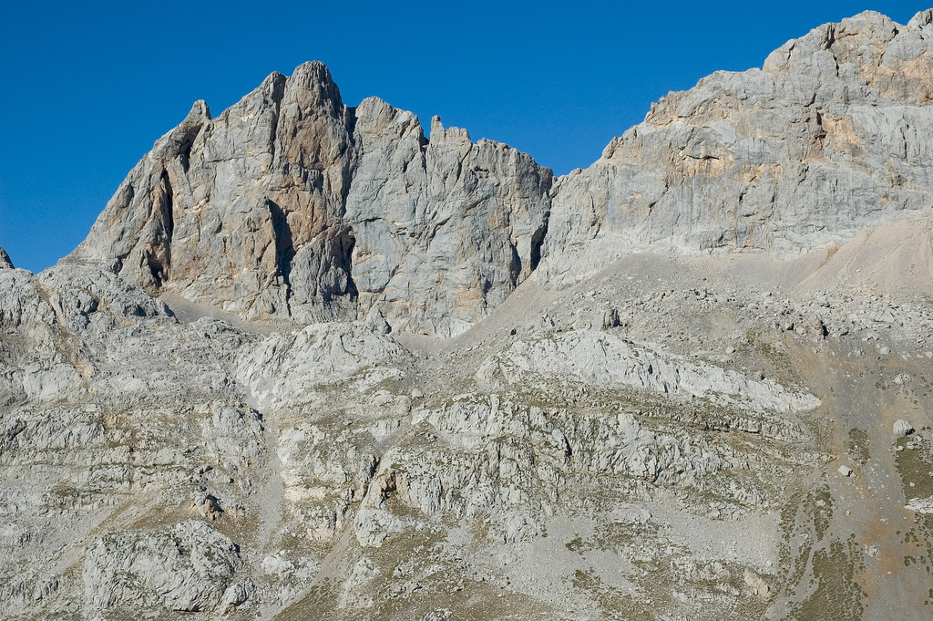
Picu Urriellu
 Photo: Cactus26, CC BY-SA 3.0 (via Wikimedia Commons)
- 8,261 ft
- summit
Picu Urriellu is a mountain in Asturias, Spain, with its summit at about 8,260 ft (2,518 m) above sea level. It stands inside Parque Nacional de Picos de Europa. Mapped trails that come within about half a mile of the top include Cabaña Verónica-Urriellu, Vega de Urriellu and Bulnes-Urriellu por Camburero. The nearest town is Posada de Valdeón, about 6.1 miles northeast of the summit. Peaks within about 3 miles include Morra del Carnizoso, Torre del Carnizoso and Torre del Oso. For camping, Emergency spot for 1 tent and Emergency tent place are within about 6 miles. The location and elevation come from OpenStreetMap and the Copernicus 90 m elevation model. Check local access rules and conditions before you go.
Conditions and forecast
Daily highs and lows, wind and the chance of precipitation at the summit for the next 7 days, from the Open-Meteo model.
- Summit elevation
- 8,261 ft
We don't know of a mapped trail or route to the summit of Picu Urriellu. Plan the approach with local maps, a guidebook or a local guide, and check conditions before you go.
Questions about Picu Urriellu
How tall is Picu Urriellu?
8,261 ft (2,518 m).
Is there a trail to the top of Picu Urriellu?
We don't know of a mapped trail or route to the summit. Plan the approach with local maps, a guidebook or a local guide.
 Diente de UrrielluSummit · ~1 min drivePhoto: Jorge Díaz, CC BY-SA 3.0 (via Wikimedia Commons)
 Neverón de UrrielluSummit · ~2 min drivePhoto: No machine-readable author provided. Davidfase assumed (based on copyright claims)., CC BY-SA 2.5 (via Wikimedia Commons)
 Torre de los Horcados RojosSummit · ~3 min drivePhoto: J. Roblear, CC BY-SA 2.0 (via Wikimedia Commons)
 Torre CerredoSummit · ~3 min drivePhoto: No machine-readable author provided. Davidfase assumed (based on copyright claims)., Public domain (via Wikimedia Commons)
- Morra del CarnizosoSummit · Next door
- Torre del CarnizosoSummit · Next door
- Torre del OsoSummit · Next door
- Torre de las ColladetasSummit · Next door
- La MorraSummit · Next door
- La MorraSummit · Next door

Map and trail data © OpenStreetMap contributors
