Eichhübel
- 1,050 ft
- summit
Eichhübel is a mountain in Saxony, Germany, with its summit at about 1,050 ft (320 m) above sea level. Mapped trails that come within about half a mile of the top include Zeisiggrund-Weg, C.-Schneider-Weg and Blankmeisterweg. It is on the edge of Tharandt. Peaks within about 3 miles include Kienberg, Scheibenberg and Opitzhöhe. For camping, Campingplatz Talsperre Malter and Campingplatz Paulsdorf are within about 6 miles. The location and elevation come from OpenStreetMap and the Copernicus 90 m elevation model. Check local access rules and conditions before you go.
Conditions and forecast
Daily highs and lows, wind and the chance of precipitation at the summit for the next 7 days, from the Open-Meteo model.
- Summit elevation
- 1,050 ft
We don't know of a mapped trail or route to the summit of Eichhübel. Plan the approach with local maps, a guidebook or a local guide, and check conditions before you go.
Questions about Eichhübel
How tall is Eichhübel?
1,050 ft (320 m).
Is there a trail to the top of Eichhübel?
We don't know of a mapped trail or route to the summit. Plan the approach with local maps, a guidebook or a local guide.
 OpitzhöheSummit · ~2 min drivePhoto: Geri-oc, CC0 (via Wikimedia Commons)
 Somsdorfer HöheSummit · ~3 min drivePhoto: Jörg Blobelt, CC BY-SA 4.0 (via Wikimedia Commons)
 LandbergSummit · ~5 min drivePhoto: Nagetier Biber, CC BY-SA 4.0 (via Wikimedia Commons)
 RaschelbergSummit · ~6 min drivePhoto: Luarpixel, CC BY-SA 4.0 (via Wikimedia Commons)
 WachtelbergSummit · ~7 min drivePhoto: Güterchronist, CC BY-SA 3.0 (via Wikimedia Commons)
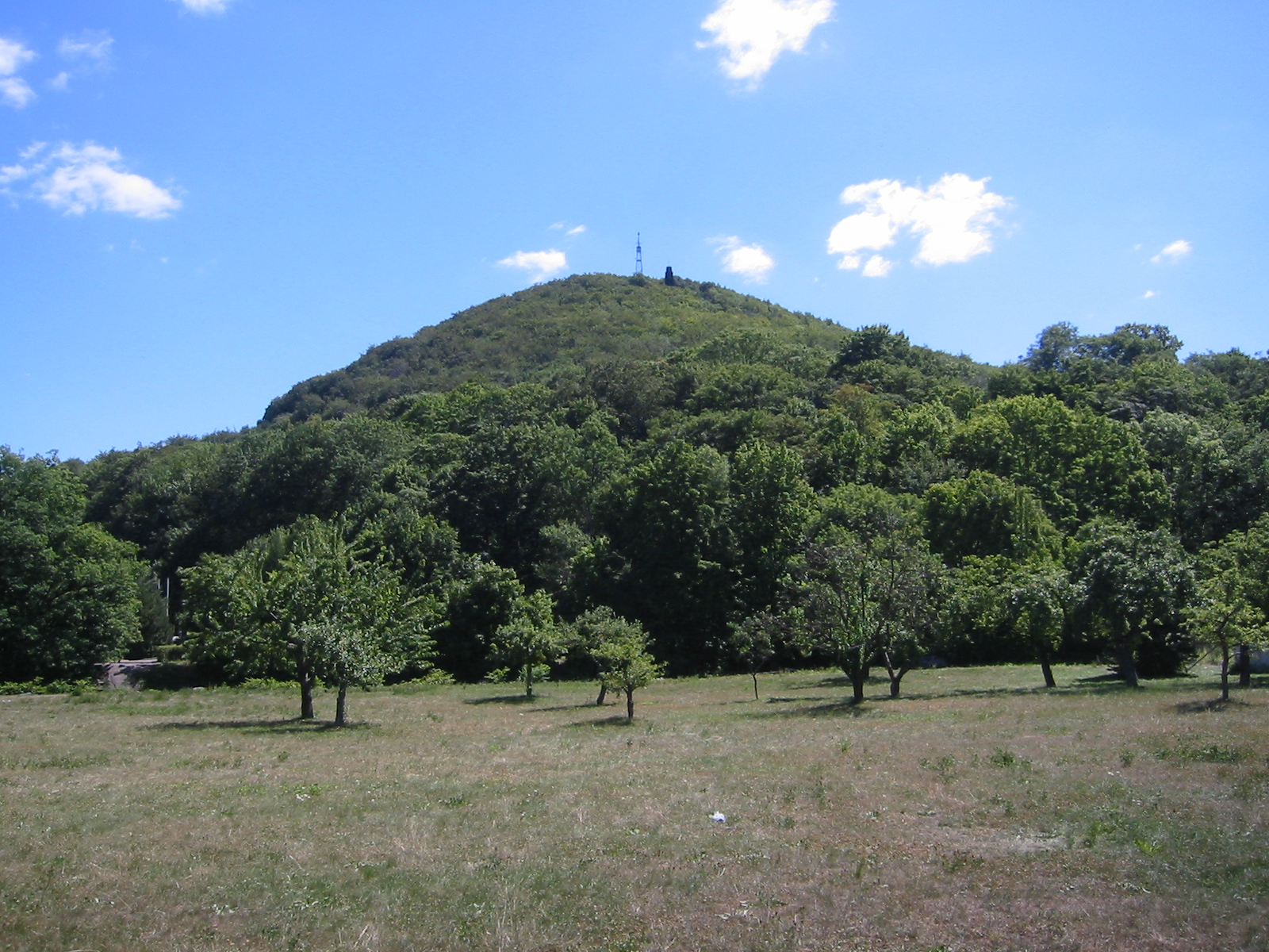 WindbergSummit · ~7 min drivePhoto: Conrad Nutschan, CC BY 2.5 (via Wikimedia Commons)
 BurgwartsbergSummit · ~7 min drivePhoto: Geri-oc, CC0 (via Wikimedia Commons)
- KienbergSummit · Next door
- ScheibenbergSummit · ~1 min drive
- HarthebergSummit · ~3 min drive


Map and trail data © OpenStreetMap contributors
