Mitterhüttensteig
- 1.5 mi
- round trip
- 1,042 ft
- climb
- 5,034 ft
- high point
- Out and back
- route
Mitterhüttensteig is an out-and-back trail, 1.5 miles each way (3.0 miles round trip) in Bavaria, Germany. It runs between about 4,620 ft and 5,030 ft above sea level, with roughly 390 ft of climbing one way. It is demanding mountain hiking, with rocky or exposed stretches where you need sure footing. Most of the way is dirt. The nearest town is Kaltenbrunn, about 1.2 miles northwest of the trailhead. Peaks within about 3 miles include Roßwank, Steinbichel and Vorderer Riedberg. Oberer Kuhfluchtwasserfall and Mittlerer Kuhfluchtwasserfall are within about 3 miles. For camping, Alpen-Caravanpark Tennsee and Camping Erlebnis Zugspitze are within about 6 miles. There are 12 other mapped trails within about 3 miles, so you can combine or extend the outing. Distances, elevations and the route shape here come from OpenStreetMap and the Copernicus 90 m elevation model. Trails, access rules and conditions change, so check locally before you go.
Conditions and forecast
Daily highs and lows, wind and the chance of precipitation at Mitterhüttensteig for the next 7 days, from the Open-Meteo model.
 Hermann von Barth WegHiking · ~12 min drivePhoto: Heinrich Stürzl, CC BY-SA 3.0 (via Wikimedia Commons)
 KönigssteigHiking · ~12 min drivePhoto: Molgreen, CC BY-SA 4.0 (via Wikimedia Commons)
- PhilosophenwegHiking · ~4 min drive
- Obere Wettersteinspitze NormalwegHiking · ~9 min drive
- Wanderweg 848 (rot)Hiking · ~11 min drive
 Eiserne BrückeHiking · ~12 min drivePhoto: Harald Süpfle, CC BY-SA 3.0 (via Wikimedia Commons)
- Oberauer SteigHiking · ~5 min drive
- KönigswegHiking · ~4 min drive
 NordwandsteigHiking · ~12 min drivePhoto: unixasket, CC BY 3.0 (via Wikimedia Commons)
- FinzbachklammwegHiking · ~7 min drive
Also worth it near here
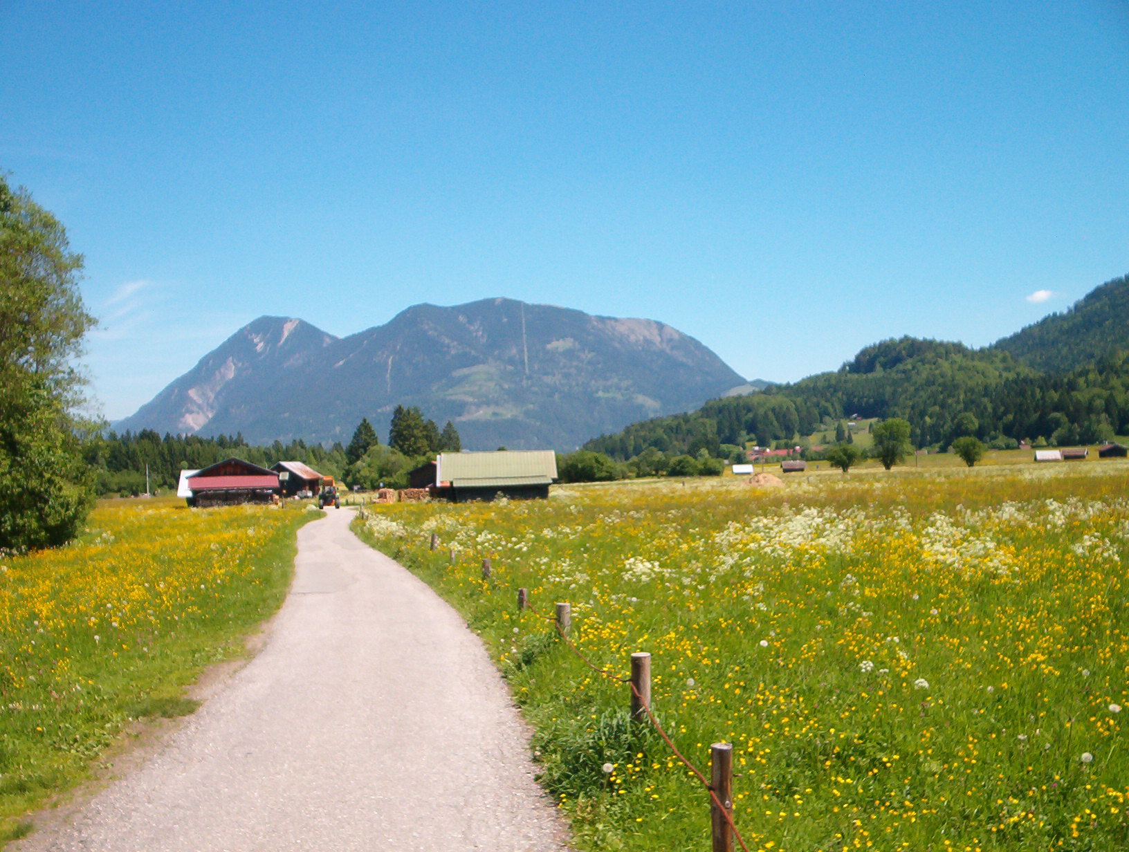 WankSummit · ~2 min drivePhoto: No machine-readable author provided. Baumst~commonswiki assumed (based on copyright claims)., CC BY-SA 3.0 (via Wikimedia Commons)
 Unterer KuhfluchtwasserfallWaterfall · ~4 min drivePhoto: Jan Harenburg, CC BY 4.0 (via Wikimedia Commons)
 Alpen-Caravanpark TennseeCamping · ~8 min drivePhoto: Molgreen, CC BY-SA 4.0 (via Wikimedia Commons)
Best time to visit Mitterhüttensteig
No month here meets our mild-weather rule. Best months have typical highs of 55–85 °F, lows of 30 °F or warmer (32 °F where there's no snowfall data), at most one snowy day and no more than 12 wet days.
Jan
28° / 10°
15 wet
Feb
31° / 12°
14 wet
Mar
37° / 19°
16 wet
Apr
44° / 25°
15 wet
May
54° / 34°
17 wet
Jun
58° / 40°
18 wet
Jul
62° / 45°
18 wet
Aug
62° / 45°
17 wet
Sep
56° / 39°
14 wet
Oct
50° / 32°
14 wet
Nov
37° / 21°
15 wet
Dec
29° / 13°
16 wet
Typical high / low (°F) and days with rain or snow, 1981–2010. Modelled for the 1 km square this place sits in (average height 4,764 ft), not measured at a weather station. Snowfall days aren't in this data. Source: CHELSA 1 km climate model (1981–2010) and CRU TS 4.09 wet days. Data: CHELSA V2.1 climatologies (Karger et al. 2017), WSL (CC0 1.0); CRU TS 4.09 (Harris et al. 2020), University of East Anglia Climatic Research Unit. Contains public sector information licensed under the Open Government Licence v3.0. (Open Government Licence v3.0).
Map and trail data © OpenStreetMap contributors
