Seebuck
 Photo: J. Braukmann Milseburg, CC BY-SA 3.0 (via Wikimedia Commons)
- 4,754 ft
- summit
Seebuck is a mountain in Baden-Württemberg, Germany, with its summit at about 4,750 ft (1,449 m) above sea level. It stands inside Feldberg. Mapped trails that come within about half a mile of the top include Westweg (Variante Feldberger Hof), Felsenweg and Westweg (Westliche Variante). The nearest town is Feldberg-Ort, about 0.9 miles northwest of the summit. Peaks within about 3 miles include Köpfle, Baldenweger Buck and Feldberg. Feldsee-Wasserfall and unterer Gustbach Wasserfall are within about 3 miles. For camping, Jugendzeltplatz Wacht and Plätzchen an der Sommerweide are within about 6 miles. The location and elevation come from OpenStreetMap and the Copernicus 90 m elevation model. Check local access rules and conditions before you go.
Conditions and forecast
Daily highs and lows, wind and the chance of precipitation at the summit for the next 7 days, from the Open-Meteo model.
- Summit elevation
- 4,754 ft
We don't know of a mapped trail or route to the summit of Seebuck. Plan the approach with local maps, a guidebook or a local guide, and check conditions before you go.
Questions about Seebuck
How tall is Seebuck?
4,754 ft (1,449 m).
Is there a trail to the top of Seebuck?
We don't know of a mapped trail or route to the summit. Plan the approach with local maps, a guidebook or a local guide.
 Tödi11,850 ft · Glarus, Switzerland1 route84 mi awayPhoto: Carsten Steger, CC BY-SA 4.0 (via Wikimedia Commons)
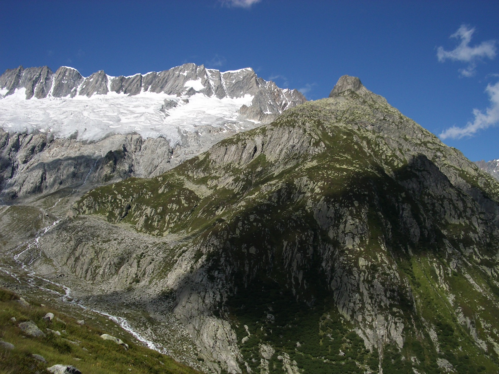 Dammastock11,909 ft · Uri, Switzerland1 route86 mi awayPhoto: Paebi, CC BY-SA 3.0 (via Wikimedia Commons)
 Jungfrau13,642 ft · Valais, Switzerland1 route92 mi awayPhoto: Daniel Reust, CC BY-SA 4.0 (via Wikimedia Commons)
 Baldenweger BuckSummit · ~2 min drivePhoto: Jörg Braukmann, CC BY-SA 3.0 (via Wikimedia Commons)
 FeldbergSummit · ~2 min drivePhoto: Jörg Braukmann, CC BY-SA 4.0 (via Wikimedia Commons)
 HerzogenhornSummit · ~3 min drivePhoto: Neptuna, CC BY-SA 3.0 (via Wikimedia Commons)
 SilberbergSummit · ~4 min drivePhoto: Steffen 962, CC0 (via Wikimedia Commons)
 StübenwasenSummit · ~4 min drivePhoto: Andreas Schwarzkopf, CC BY-SA 3.0 (via Wikimedia Commons)
 ZweiseenblickSummit · ~4 min drivePhoto: Dirk Jan van Zoest, CC BY 3.0 (via Wikimedia Commons)
 Toter MannSummit · ~4 min drivePhoto: Andreas Schwarzkopf, CC BY-SA 3.0 (via Wikimedia Commons)
 SpießhornSummit · ~4 min drivePhoto: Steffen 962, CC0 (via Wikimedia Commons)
 Kleines SpießhornSummit · ~5 min drivePhoto: Jörg Braukmann, CC BY-SA 4.0 (via Wikimedia Commons)
 WindeckSummit · ~6 min drivePhoto: Chondriammos, CC BY-SA 3.0 (via Wikimedia Commons)
Also worth it near here
 European Long distance path E1 - part Germany, Baden-Wuerttemberg (alternative route Feldberg)Hiking · ~1 min drivePhoto: Flominator, CC BY-SA 3.0 (via Wikimedia Commons)
 unterer Gustbach WasserfallWaterfall · ~1 min drivePhoto: PantaRhei, CC BY-SA 4.0 (via Wikimedia Commons)
 BankenhofCamping · ~9 min drivePhoto: Chondriammos, CC BY-SA 4.0 (via Wikimedia Commons)
Map and trail data © OpenStreetMap contributors
