Ballenberg
- 2,333 ft
- summit
Ballenberg is a mountain in Baden-Württemberg, Germany, with its summit at about 2,330 ft (711 m) above sea level. Mapped trails that come within about half a mile of the top include European Long distance path E1 - part Germany, Baden-Wuerttemberg (region Schwarzwald south). The nearest town is Zimmerholz, about 0.8 miles south of the summit. Peaks within about 3 miles include Hohenhewen, Bisberg and Neuhewen. For camping, Camping Sonnental and Hegi Familien Camping are within about 6 miles. The location and elevation come from OpenStreetMap and the Copernicus 90 m elevation model. Check local access rules and conditions before you go.
Conditions and forecast
Daily highs and lows, wind and the chance of precipitation at the summit for the next 7 days, from the Open-Meteo model.
- Summit elevation
- 2,333 ft
We don't know of a mapped trail or route to the summit of Ballenberg. Plan the approach with local maps, a guidebook or a local guide, and check conditions before you go.
Questions about Ballenberg
How tall is Ballenberg?
2,333 ft (711 m).
Is there a trail to the top of Ballenberg?
We don't know of a mapped trail or route to the summit. Plan the approach with local maps, a guidebook or a local guide.
 HohenhewenSummit · ~2 min drivePhoto: Prekario, CC BY-SA 3.0 (via Wikimedia Commons)
 NeuhewenSummit · ~4 min drivePhoto: Hubenschmid, CC BY-SA 3.0 (via Wikimedia Commons)
 HöweneggSummit · ~7 min drivePhoto: ANKAWÜ, CC BY-SA 4.0 (via Wikimedia Commons)
 HohenstoffelnSummit · ~7 min drivePhoto: Johannes Baier, CC BY 4.0 (via Wikimedia Commons)
 MägdebergSummit · ~7 min drivePhoto: Peter Schmenger. The original uploader was Dokape at German Wikipedia., CC BY-SA 3.0 (via Wikimedia Commons)
 HohenkrähenSummit · ~9 min drivePhoto: Heilmann, CC BY-SA 3.0 (via Wikimedia Commons)
 StaufenSummit · ~11 min drivePhoto: Hubenschmid, CC BY-SA 3.0 (via Wikimedia Commons)
 StaufenSummit · ~11 min drivePhoto: Hubenschmid, CC BY-SA 3.0 (via Wikimedia Commons)
 WitthohSummit · ~12 min drivePhoto: Zonk43, CC BY-SA 3.0 (via Wikimedia Commons)
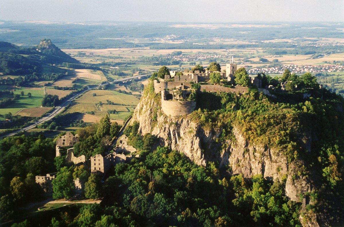 HohentwielSummit · ~12 min drivePhoto: Peter Stein, CC BY-SA 3.0 (via Wikimedia Commons)
Also worth it near here
 Hugenotten- und Waldenserpfad, Etappe Weiterdingen - RiedöschingenHiking · ~7 min drivePhoto: Karthoo, CC0 (via Wikimedia Commons)
 Blumenfelder WasserfallWaterfall · ~7 min drivePhoto: PantaRhei, CC BY-SA 4.0 (via Wikimedia Commons)
 Jugendburg HohenkrähenCamping · ~9 min drivePhoto: Franziska Wagner, CC BY-SA 4.0 (via Wikimedia Commons)
- Bargemer RundspurCross-country skiing · ~15 min drive
- Meter-WägliMountain biking · ~16 min drive


Map and trail data © OpenStreetMap contributors
