Sendero Al Cerro San Luis
- 2.8 mi
- round trip
- 3,037 ft
- climb
- 5,743 ft
- high point
- Out and back
- route
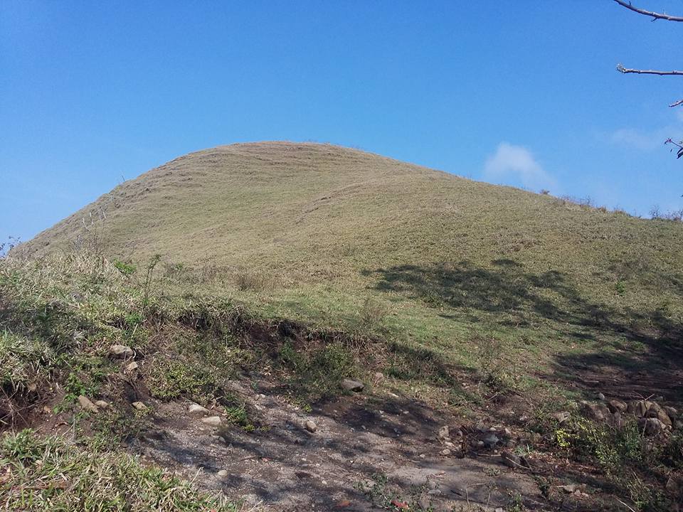
Sendero Al Cerro San Luis is an out-and-back trail, 2.8 miles each way (5.5 miles round trip) in San José Province, Costa Rica. It runs between about 3,880 ft and 5,740 ft above sea level, with roughly 700 ft of climbing one way. The nearest town is San Luis, about 4.0 miles south of the trailhead. Peaks within about 3 miles include Cerro Turrubares, Collado sin nombre and Cerro Pelón. Distances, elevations and the route shape here come from OpenStreetMap and the Copernicus 90 m elevation model. Trails, access rules and conditions change, so check locally before you go.
Keep exploring — more trails worth the drive
HIKE
Sendero Al Cerro Turrubares
Next door
An out-and-back trail, 0.9 miles each way (1.8 miles round trip) in San José Province, Costa Rica.
HIKE
Sendero Cerro Bola
~12 min drive
An out-and-back trail, 0.4 miles each way (0.8 miles round trip) in San José Province, Costa Rica.
HIKE
Sendero Al Cerro Cangreja
~13 min drive
An out-and-back trail, 1.5 miles each way (3.0 miles round trip) in San José Province, Costa Rica.
HIKE
Sendero De La Catarata Bijagual
~15 min drive
An out-and-back trail, 1.3 miles each way (2.6 miles round trip) in San José Province, Costa Rica.
HIKE
Sendero Laguna Meandrica (Parque Nacional Carara)
~15 min drive
An out-and-back trail, 1.0 miles each way (2.0 miles round trip) in Puntarenas, Costa Rica.
HIKE
Sendero Al Cerro Yarcazú
~17 min drive
An out-and-back trail, 2.0 miles each way (4.1 miles round trip) in San José Province, Costa Rica.
HIKE
Sendero Zapatón Alto Concepción
~18 min drive
An out-and-back trail, 1.1 miles each way (2.2 miles round trip) in San José Province, Costa Rica.
HIKE
Sendero a Las Cataratas Las Gemelas Las Mellizas
~20 min drive
An out-and-back trail, 0.4 miles each way (0.9 miles round trip) in San José Province, Costa Rica.
HIKE
Salto Del Indio Arriba
~20 min drive
An out-and-back trail, 0.6 miles each way (1.2 miles round trip) in San José Province, Costa Rica.
HIKE
Sendero a Limoncito
~24 min drive
An out-and-back trail, 1.9 miles each way (3.8 miles round trip) in Puntarenas, Costa Rica.

Conditions and forecast
Daily highs and lows, wind and the chance of precipitation at Sendero Al Cerro San Luis for the next 7 days, from the Open-Meteo model.
Map and trail data © OpenStreetMap contributors
