Camino a Playa Brava
- 2.5 mi
- round trip
- 1,841 ft
- climb
- 1,499 ft
- high point
- Out and back
- route
Camino a Playa Brava is an out-and-back trail, 2.5 miles each way (4.9 miles round trip) in Magdalena, Colombia. It runs between about 20 ft and 1,500 ft above sea level, with roughly 220 ft of climbing one way. It is a mountain path with steeper and uneven sections, so wear proper hiking shoes. Most of the way is dirt. The nearest town is Colinas de Calabazo, about 1.7 miles north of the trailhead. Cascada Teyumakke is within about 3 miles. For camping, Playa Brava Teyumakke and Cabo San Juan del Guía are within about 6 miles. There are 2 other mapped trails within about 3 miles, so you can combine or extend the outing. Distances, elevations and the route shape here come from OpenStreetMap and the Copernicus 90 m elevation model. Trails, access rules and conditions change, so check locally before you go.
Keep exploring — more trails worth the drive
A Cabo De San Juan De Guía Cape
~5 min drive
An out-and-back trail, 0.6 miles each way (1.1 miles round trip) in Magdalena, Colombia.
Camino a Ciudad Perdida
~22 min drive
A 22-mile point-to-point route in Magdalena, Colombia.
Vía a Las Cascadas De Valencia
~23 min drive
An out-and-back trail, 0.3 miles each way (0.6 miles round trip) in Magdalena, Colombia.
Camino a Mamancanaca
~1h 22m drive
An out-and-back trail, 3.6 miles each way (7.3 miles round trip) in Magdalena, Colombia.
Sendero a "La Ponderosa Reserve"
~28 min drive
An out-and-back trail, 5.1 miles each way (10 miles round trip) in Magdalena, Colombia.
Camino De Wimake
~30 min drive
A 13-mile point-to-point route in Magdalena, Colombia.
Sendero a Playa Grande
~23 min drive
An out-and-back trail, 0.3 miles each way (0.7 miles round trip) in Magdalena, Colombia.
Camino a Takina
~1h 13m drive
An out-and-back trail, 4.7 miles each way (9.4 miles round trip) in La Guajira, Colombia.
Sendero Mtb El Filo ( Kogui 2024)
~24 min drive
An out-and-back trail, 3.5 miles each way (7.0 miles round trip) in Magdalena, Colombia.
Camino De Don Diego
~46 min drive
An out-and-back trail, 5.4 miles each way (11 miles round trip) in Magdalena, Colombia.
Also worth it near here
Cascada Teyumakke
~2 min drive
 Photo: Santiago Augusto Páez Pulido, CC BY-SA 4.0 (via Wikimedia Commons)
Cabo San Juan del Guía
~4 min drive
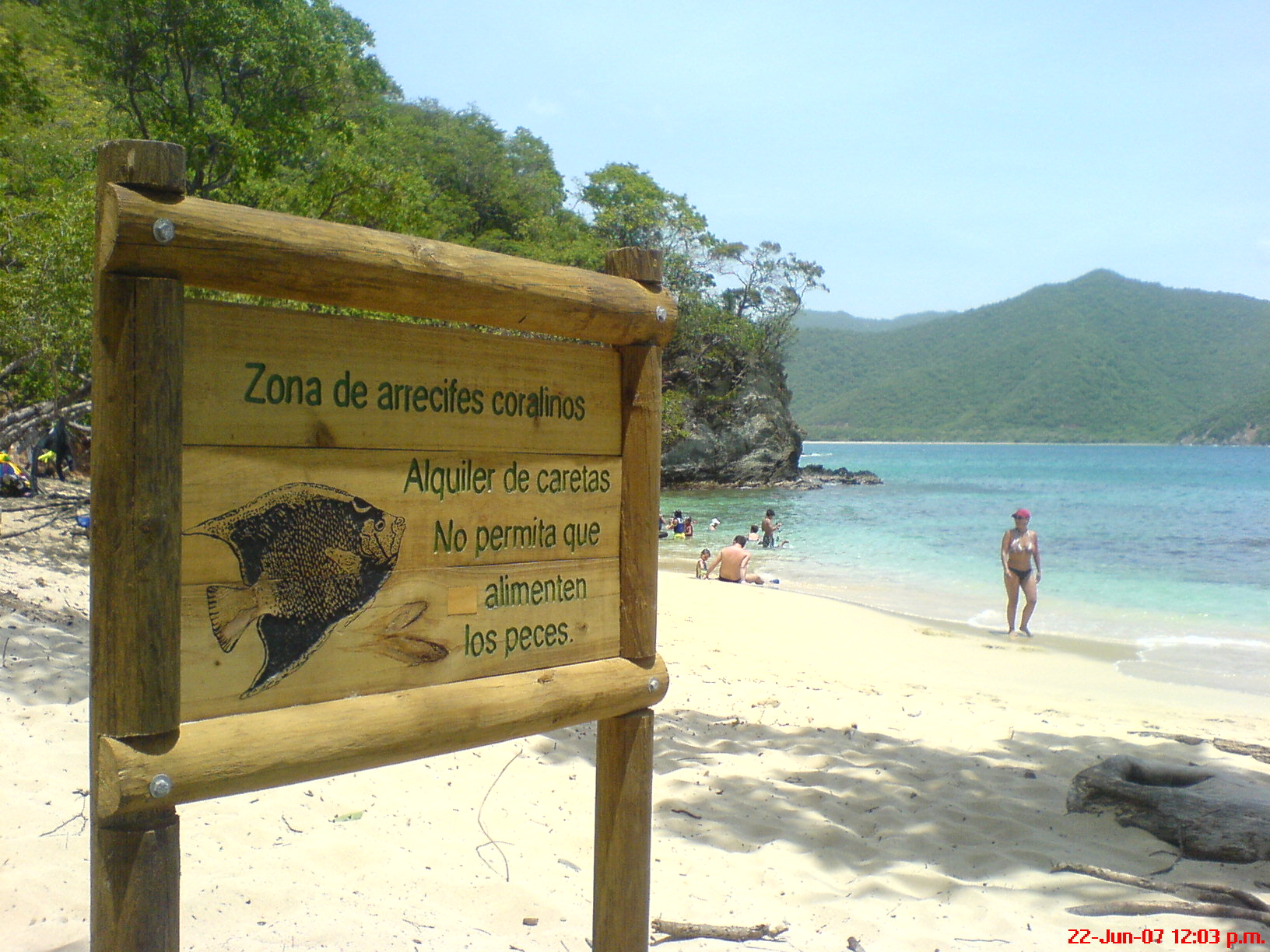 Photo: adelmotrujillo@gmail…, CC BY-SA 3.0 (via Wikimedia Commons)
Playa Cristal
~10 min drive
 Photo: Sylvain Perret (published under CC BY-SA-3.0), CC BY-SA 3.0 (via Wikimedia Commons)
Pico Cristóbal Colón
~1h 6m drive
Conditions and forecast
Daily highs and lows, wind and the chance of precipitation at Camino a Playa Brava for the next 7 days, from the Open-Meteo model.
Map and trail data © OpenStreetMap contributors
