Sendero Al Volcán Tupungatito
- 7.2 mi
- round trip
- 7,272 ft
- climb
- 17,430 ft
- high point
- Out and back
- route
Sendero Al Volcán Tupungatito is an out-and-back trail, 7.2 miles each way (14 miles round trip) in Santiago Metropolitan, Chile. It runs between about 10,340 ft and 17,430 ft above sea level, with roughly 6,910 ft of climbing one way. Most of the way is dirt. For camping, Vega de los Flojos is within about 6 miles. Distances, elevations and the route shape here come from OpenStreetMap and the Copernicus 90 m elevation model. Trails, access rules and conditions change, so check locally before you go.
Keep exploring — more trails worth the drive
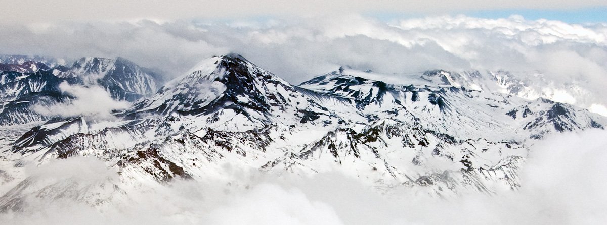
 Photo: Nbendersky, CC BY-SA 4.0 (via Wikimedia Commons)
Sendero Farellones Cultural
~43 min drive
A 0.3-mile lollipop loop in Santiago Metropolitan, Chile.
HIKE
Ruta Nevado De Los Piuquenes
~20 min drive
An out-and-back trail, 2.6 miles each way (5.2 miles round trip) in Mendoza, Argentina.
HIKE
Piedra Numerada- Portezuelo Del Cepo
~34 min drive
An out-and-back trail, 2.1 miles each way (4.3 miles round trip) in Santiago Metropolitan, Chile.
HIKE
Sendero Cortina Del Embalse - Laguna Negra
~42 min drive
An out-and-back trail, 0.7 miles each way (1.5 miles round trip) in Santiago Metropolitan, Chile.
HIKE
Sendero Volcán Tupungatito
~7 min drive
An out-and-back trail, 1.4 miles each way (2.8 miles round trip) in Santiago Metropolitan, Chile.
HIKE
Ruta Cerro Piramide
~21 min drive
An out-and-back trail, 1.2 miles each way (2.3 miles round trip) in Santiago Metropolitan, Chile.
HIKE
Acceso Cerro Parva
~38 min drive
An out-and-back trail, 0.8 miles each way (1.6 miles round trip) in Santiago Metropolitan, Chile.
HIKE
Sendero Al Refugio Tupungato
~11 min drive
An out-and-back trail, 7.0 miles each way (14 miles round trip) in Santiago Metropolitan, Chile.
HIKE
Sendero Paso Piuquenes
~32 min drive
An out-and-back trail, 5.0 miles each way (10 miles round trip) in Santiago Metropolitan, Chile.
HIKE
Ruta Mirador Natural De Cóndores
~39 min drive
A 2.8-mile point-to-point route in Santiago Metropolitan, Chile.
Conditions and forecast
Daily highs and lows, wind and the chance of precipitation at Sendero Al Volcán Tupungatito for the next 7 days, from the Open-Meteo model.
Map and trail data © OpenStreetMap contributors
