Camping Los Castaños
A campground in Los Lagos, Chile.
- At 694 ft
Camping Los Castaños is a campground in Los Lagos, Chile, at about 690 ft above sea level. It is inside Parque Nacional Vicente Pérez Rosales. Trails within about a mile include Granja Safari Peulla and Greater Patagonian Trail Section 21: Valle El Callao. Peaks within about 3 miles include Cerro Techado. Cascada de Los Novios and Cascada Puerto Villa Peulla are within about 3 miles. The location and elevation come from OpenStreetMap and the Copernicus 90 m elevation model. Check local access rules and conditions before you go.
Make it a trip
Roamze builds the days around this campground: where to sleep, where to eat after, what to do if it rains. You change anything.
Keep exploring — more campsites worth the drive
 Photo: littletroll, CC BY-SA 3.0 (via Wikimedia Commons)
camping Petrohue
~36 min drive
A campground in Los Lagos, Chile.
 Photo: McKay Savage from London, UK, CC BY 2.0 (via Wikimedia Commons)
Camping San Martin Jakob
~44 min drive
A campground in Río Negro, Argentina.
 Photo: Natalia Reyes Escobar, CC BY-SA 4.0 (via Wikimedia Commons)
Camping Aguas Calientes PN Puyehue
~46 min drive
A campground in Los Lagos, Chile.
Camping Laguna Los Quetros
~19 min drive
A campground in Los Lagos, Chile.
Campamento Río Frias Superior
~22 min drive
An informal camping spot in Río Negro, Argentina.
Camping Carabineros
~24 min drive
A campground in Río Negro, Argentina.
Campamento Río Alerce
~25 min drive
An informal camping spot in Río Negro, Argentina.
Campamento Alerces
~25 min drive
A campground in Los Lagos, Chile.
Camping Los Vuriloches
~30 min drive
A campground in Río Negro, Argentina.
Camping Agreste Rio Manso
~30 min drive
A campground in Río Negro, Argentina.
Also worth it near here
Sendero Laguna Margarita
~3 min drive
 Photo: Gillermo Adolfo, CC BY 3.0 (via Wikimedia Commons)
Cascada Puerto Villa Peulla
~4 min drive
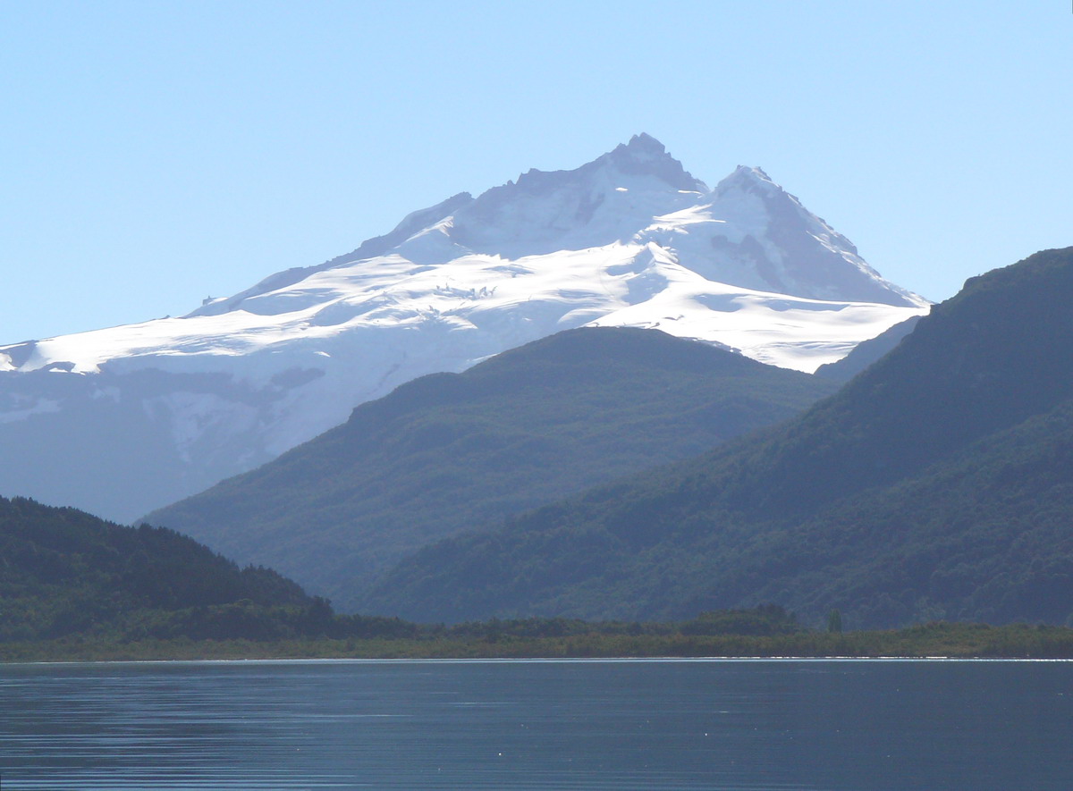 Photo: Wernerluis, CC BY-SA 4.0 (via Wikimedia Commons)
Tronador
~17 min drive
Photo: Wernerluis, CC BY-SA 4.0 (via Wikimedia Commons)Tronador: Sendero Refugio Otto Meiling to 10,100 ft (from Pampa Linda)
~30 min drive
 Photo: littletroll, CC BY-SA 3.0 (via Wikimedia Commons)
Playa Lago Todos los Santos
~35 min drive
Conditions and forecast
Daily highs and lows, wind and the chance of precipitation at Camping Los Castaños for the next 7 days, from the Open-Meteo model.
Map and trail data © OpenStreetMap contributors
