A Carvernas De Marmol
An out-and-back trail, 1.3 miles each way (2.6 miles round trip) in Aysén, Chile.
- 1.3 mi
- round trip
- 780 ft
- climb
- 1,258 ft
- high point
- Out and back
- route
A Carvernas De Marmol is an out-and-back trail, 1.3 miles each way (2.6 miles round trip) in Aysén, Chile. It runs between about 950 ft and 1,260 ft above sea level, with roughly 420 ft of climbing one way. The nearest town is Puerto Río Tranquilo, about 3.2 miles southeast of the trailhead. For camping, Río Marmól and Camping Pudú are within about 6 miles. Distances, elevations and the route shape here come from OpenStreetMap and the Copernicus 90 m elevation model. Trails, access rules and conditions change, so check locally before you go.
Make it a trip
Roamze builds the days around this trail: where to sleep, where to eat after, what to do if it rains. You change anything.
Keep exploring — more trails worth the drive
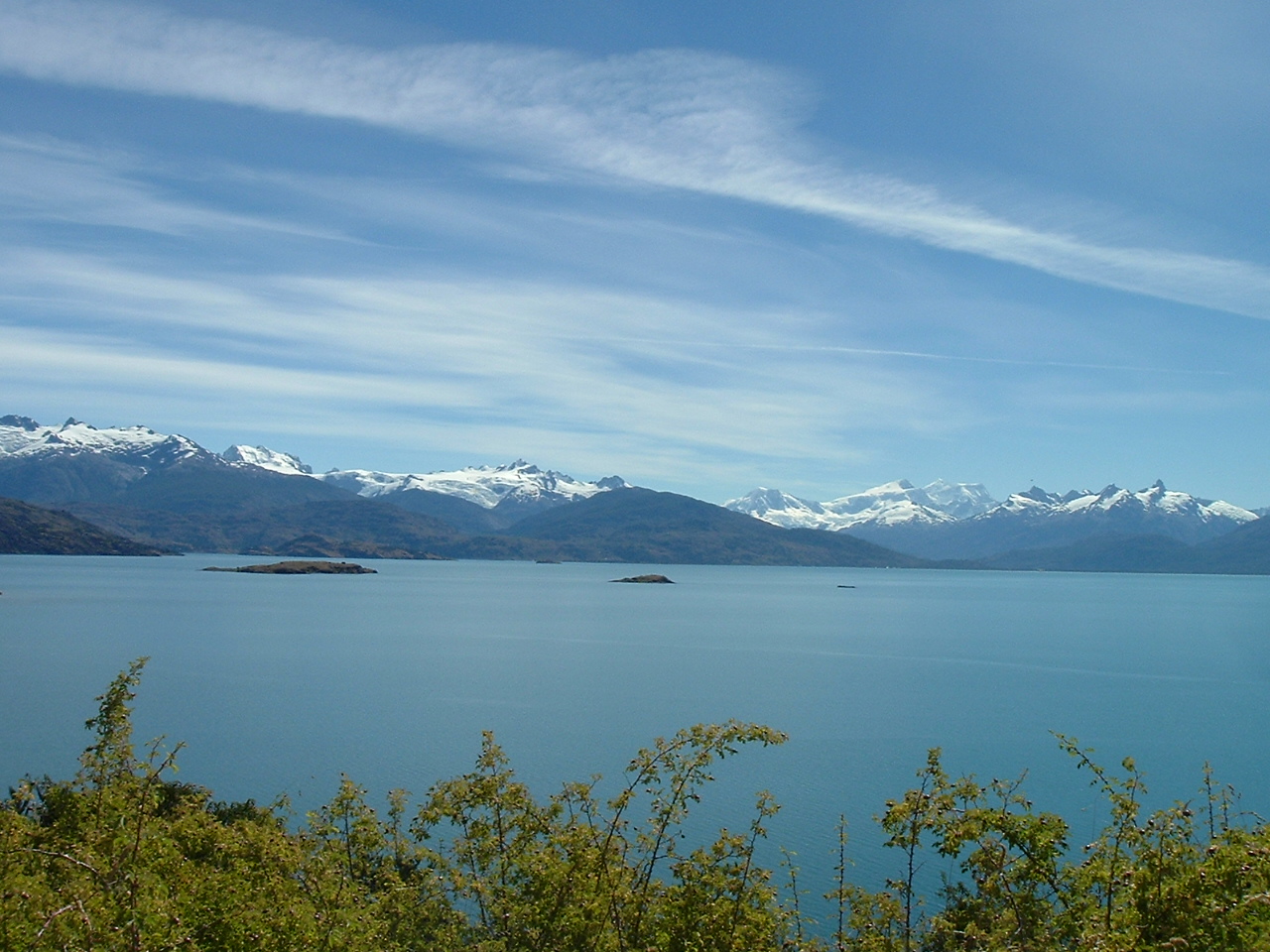
 Photo: Natalia Reyes Escobar, CC BY-SA 4.0 (via Wikimedia Commons)
Sendero Mirador Lago Jeinimeni
~54 min drive
An out-and-back trail, 0.6 miles each way (1.1 miles round trip) in Aysén, Chile.
Sendero Laguna Esmeralda
~51 min drive
A 1.5-mile point-to-point route in Aysén, Chile.
Sendero 4: Los Ciruelillos
~1h 7m drive
A 0.9-mile point-to-point route in Aysén, Chile.
Sendero 1: Las áGuilas
~1h 9m drive
A 1.9-mile point-to-point route in Aysén, Chile.
Sendero Laguna La Guitarra
~14 min drive
An out-and-back trail, 5.6 miles each way (11 miles round trip) in Aysén, Chile.
Sendero Cañadón Chacabuco
~56 min drive
A 9.6-mile loop in Aysén, Chile.
Sendero Laguna Duff
~1h 16m drive
A 1.6-mile point-to-point route in Aysén, Chile.
Sendero Lago Leones
~33 min drive
An out-and-back trail, 5.3 miles each way (11 miles round trip) in Aysén, Chile.
Sendero 7 Lagunas
~1h drive
A 3.9-mile point-to-point route in Aysén, Chile.
Sendero Escorial Del Silencio
~54 min drive
An out-and-back trail, 0.7 miles each way (1.5 miles round trip) in Aysén, Chile.

Conditions and forecast
Daily highs and lows, wind and the chance of precipitation at A Carvernas De Marmol for the next 7 days, from the Open-Meteo model.
Map and trail data © OpenStreetMap contributors
