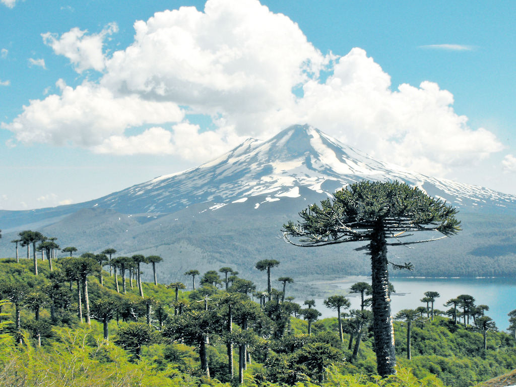
Parque Nacional Conguillío
About
Parque Nacional Conguillío is a national park in Araucanía, Chile, covering about 141,400 acres (572 km²). There are 11 mapped trails inside it, including Sendero De Chile: Tramo Contrabandista, Sendero De La Playa and Sendero De Las Veritientes. Its peaks include Volcán Llaima, Cumbre Pichillaima and Sierra Nevada. Waterfalls inside it include Salto Lan Lan, Salto Punta Negra and Salto la Ruta. For camping, there is Camping El Estero and Camping El Hoyón. Elevations inside the park range from about 2,350 ft to 10,250 ft. The nearest town is Malalcahuello, about 14 miles southwest of the park's centre. It was established in 1950. It is managed as an IUCN category II protected area. These details come from Wikidata. The boundary comes from OpenStreetMap. Check the park's own rules, fees and opening hours before you go.
Park size
141,437 acres
Location
Parque Nacional Conguillío
Araucanía
Data © OpenStreetMap contributors, available under the Open Database License (ODbL). View or edit on OpenStreetMap.
Conditions and forecast
Daily highs and lows, wind and the chance of precipitation at Parque Nacional Conguillío for the next 7 days, from the Open-Meteo model.
Plan this with Roamze
Tell Roamze when you're going and who's coming. It plans the days, gear and food around this place.
Map and trail data © OpenStreetMap contributors
