Mountains in Vaud
200 mountains and 200 routes in Vaud, Switzerland, each with its own page: heights, seasons, and every way to the top we have mapped.
Mountains
 Sommet des Diablerets10,531 ft · Vaud, SwitzerlandPhoto: Alps, Public domain (via Wikimedia Commons)
- Tête de Barme10,449 ft · Vaud, Switzerland
 Oldehore10,246 ft · Vaud, SwitzerlandPhoto: Xperience, Public domain (via Wikimedia Commons)
 Grand Muveran10,010 ft · Vaud, SwitzerlandPhoto: Zacharie Grossen, CC BY-SA 4.0 (via Wikimedia Commons)
 Tête Ronde9,964 ft · Vaud, SwitzerlandPhoto: Wala, CC BY-SA 3.0 (via Wikimedia Commons)
 Scex Rouge9,747 ft · Vaud, SwitzerlandPhoto: Zacharie Grossen, CC BY-SA 4.0 (via Wikimedia Commons)
 Petite Dent de Morcles9,610 ft · Vaud, SwitzerlandPhoto: Björn S..., CC BY-SA 2.0 (via Wikimedia Commons)
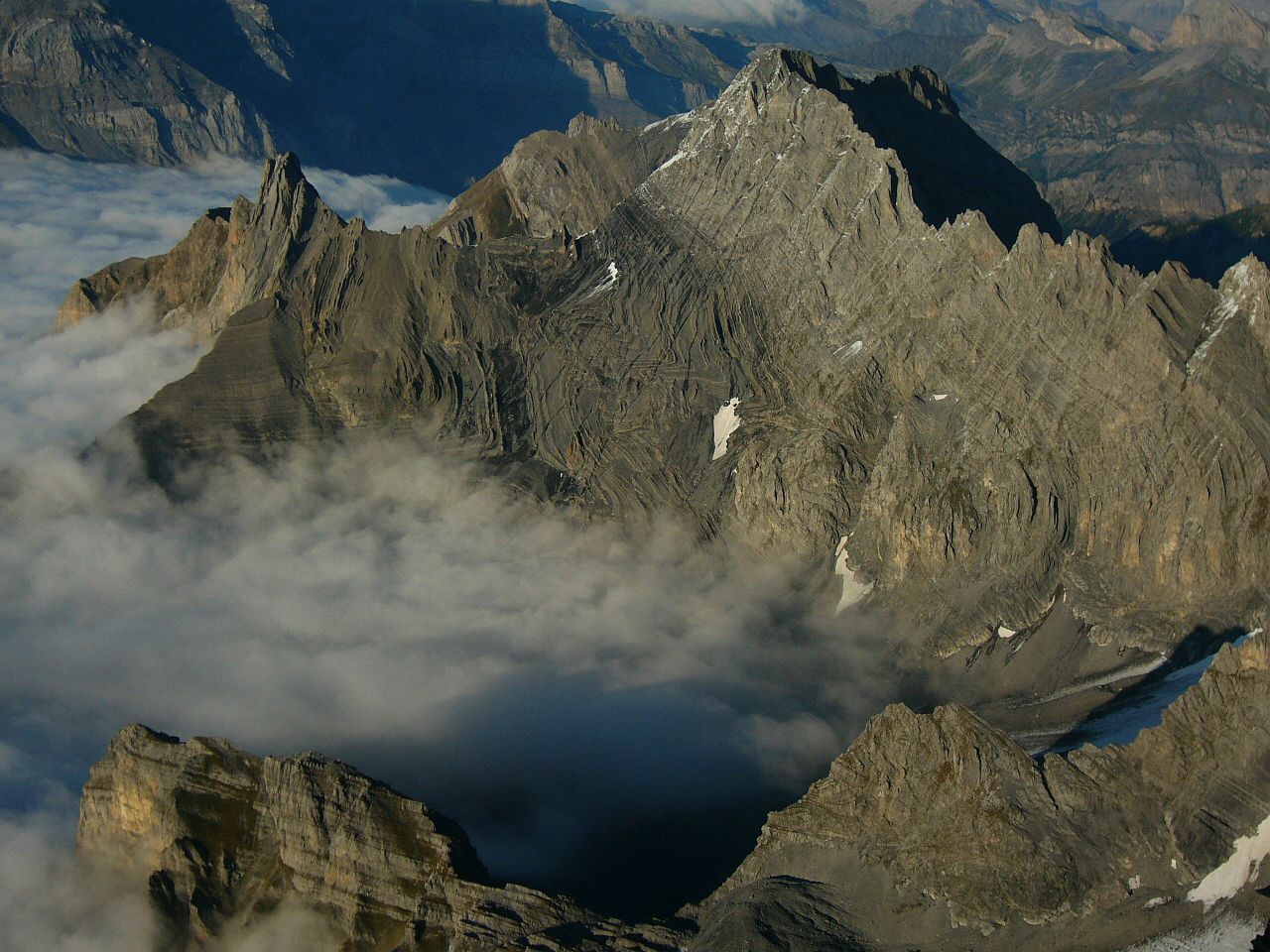 Tête à Pierre Grept9,528 ft · Vaud, SwitzerlandPhoto: Jean-David, user on Camptocamp.org, CC BY-SA 3.0 (via Wikimedia Commons)
- Pointe de Paneirosse9,314 ft · Vaud, Switzerland
- Le Pacheu9,180 ft · Vaud, Switzerland
 Culan9,150 ft · Vaud, SwitzerlandPhoto: Zacharie Grossen, CC BY-SA 4.0 (via Wikimedia Commons)
- Tête d'Enfer9,058 ft · Vaud, Switzerland
- Roc Champion9,012 ft · Vaud, Switzerland
 Pierre qu'Abotse8,973 ft · Vaud, SwitzerlandPhoto: Björn S..., CC BY-SA 2.0 (via Wikimedia Commons)
- Tête Tsemou8,967 ft · Vaud, Switzerland
 Pointe des Martinets8,704 ft · Vaud, SwitzerlandPhoto: Björn S..., CC BY-SA 2.0 (via Wikimedia Commons)
 Pointe des Encrennes8,675 ft · Vaud, SwitzerlandPhoto: Picea Abies, CC BY-SA 3.0 (via Wikimedia Commons)
 Sex des Branlettes8,596 ft · Vaud, SwitzerlandPhoto: Wala, CC BY-SA 3.0 (via Wikimedia Commons)
- Tête à Grosjean8,556 ft · Vaud, Switzerland
- Tête de Bellalué8,543 ft · Vaud, Switzerland
- Pointe des Perris Blancs8,455 ft · Vaud, Switzerland
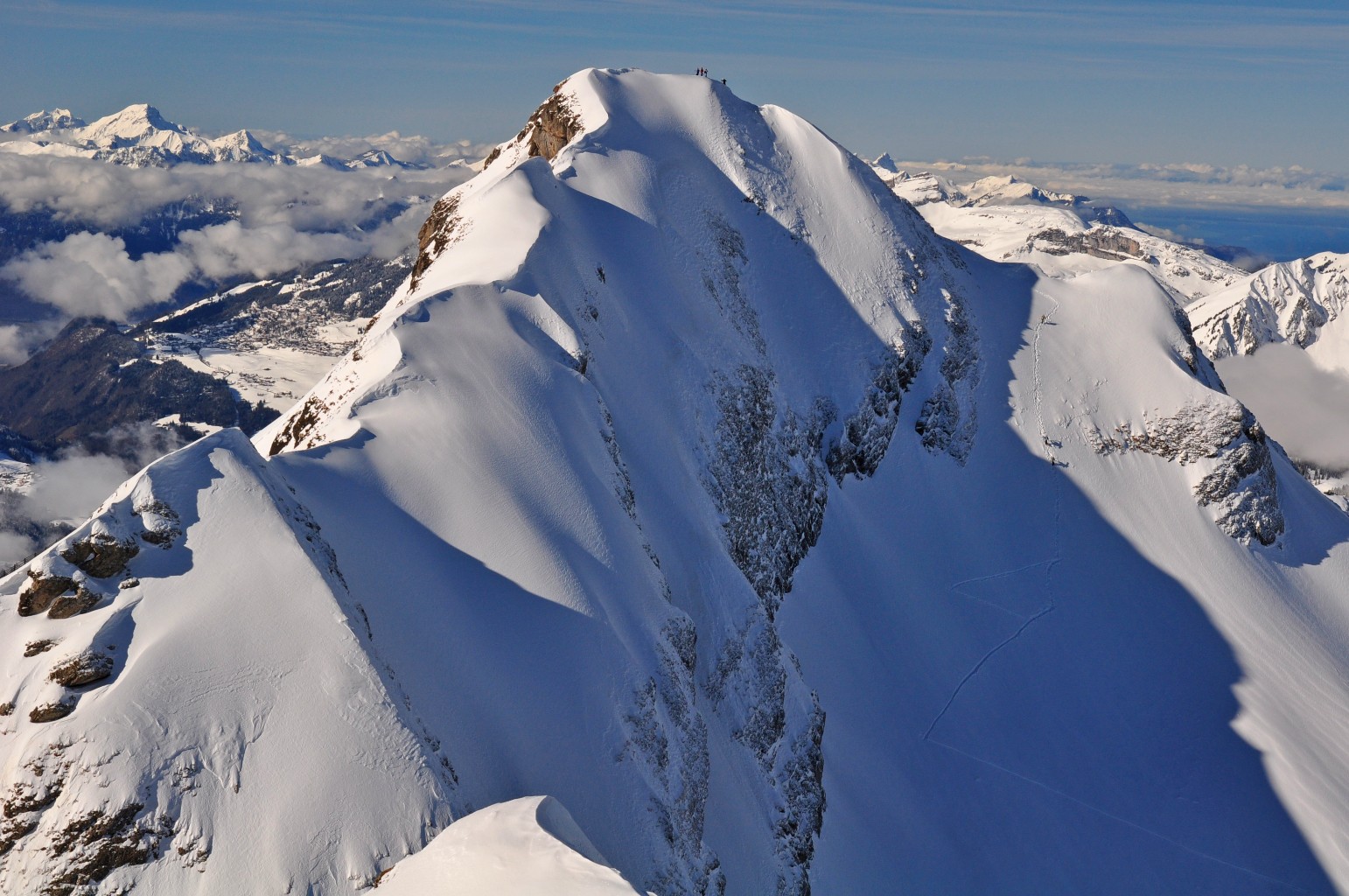 La Tarent8,360 ft · Vaud, SwitzerlandPhoto: lechoucas, CC BY-SA 3.0 (via Wikimedia Commons)
 La Pare8,333 ft · Vaud, SwitzerlandPhoto: Robert Young from Gdansk, Poland, CC BY 2.0 (via Wikimedia Commons)
 Tête aux Chamois8,281 ft · Vaud, SwitzerlandPhoto: Christian David, CC BY-SA 4.0 (via Wikimedia Commons)
- Pointe de Pré Fleuri8,143 ft · Vaud, Switzerland
 Châtillon8,130 ft · Vaud, SwitzerlandPhoto: MFS, CC BY-SA 4.0 (via Wikimedia Commons)
 Gummfluh8,064 ft · Vaud, SwitzerlandPhoto: Touriste, Public domain (via Wikimedia Commons)
 Arête de l'Argentine7,943 ft · Vaud, SwitzerlandPhoto: Björn S..., CC BY-SA 2.0 (via Wikimedia Commons)
- Tête de l'Ortière7,940 ft · Vaud, Switzerland
- Gros Sex7,933 ft · Vaud, Switzerland
- Pointes de Sur Combe7,851 ft · Vaud, Switzerland
- La Borne7,822 ft · Vaud, Switzerland
 Pointe de Paray7,789 ft · Vaud, SwitzerlandPhoto: Ludovic Péron, CC BY-SA 3.0 (via Wikimedia Commons)
- Pointes de Châtillon7,769 ft · Vaud, Switzerland
- L'Ecuelle7,743 ft · Vaud, Switzerland
 Cape au Moine7,717 ft · Vaud, SwitzerlandPhoto: antoineb, CC BY-SA 3.0 (via Wikimedia Commons)
 Pic Chaussy7,715 ft · Vaud, SwitzerlandPhoto: Fanny Schertzer, CC BY 2.5 (via Wikimedia Commons)
 Wittenberghorn7,710 ft · Vaud, SwitzerlandPhoto: Björn S., CC BY-SA 3.0 (via Wikimedia Commons)
 Tour d'Aï7,644 ft · Vaud, SwitzerlandPhoto: Christian David, CC BY-SA 4.0 (via Wikimedia Commons)
 Pointe des Semeleys7,635 ft · Vaud, SwitzerlandPhoto: Björn S., CC BY-SA 3.0 (via Wikimedia Commons)
 Tour de Mayen7,631 ft · Vaud, SwitzerlandPhoto: Christian David, CC BY-SA 4.0 (via Wikimedia Commons)
 Miroir d'Argentine7,628 ft · Vaud, SwitzerlandPhoto: Björn S., CC BY-SA 3.0 (via Wikimedia Commons)
- La Haute Corde7,628 ft · Vaud, Switzerland
- Rots hore7,625 ft · Vaud, Switzerland
- Cheval Blanc7,625 ft · Vaud, Switzerland
- Pointe d'Euzanne7,612 ft · Vaud, Switzerland
 Le Brecaca7,612 ft · Vaud, SwitzerlandPhoto: Zacharie Grossen, CC BY-SA 3.0 (via Wikimedia Commons)
 Pointe des Savolaires7,526 ft · Vaud, SwitzerlandPhoto: Dake, CC BY-SA 3.0 (via Wikimedia Commons)
 Le Biolet7,523 ft · Vaud, SwitzerlandPhoto: Zacharie Grossen, CC BY-SA 3.0 (via Wikimedia Commons)
 Le Rubli7,497 ft · Vaud, SwitzerlandPhoto: Zacharie Grossen, CC BY-SA 3.0 (via Wikimedia Commons)
 Lion d'Argentine7,461 ft · Vaud, SwitzerlandPhoto: Björn S..., CC BY-SA 2.0 (via Wikimedia Commons)
- La Chaux7,418 ft · Vaud, Switzerland
- Tour de Dorena7,415 ft · Vaud, Switzerland
 Rocher Plat7,405 ft · Vaud, SwitzerlandPhoto: Gzzz, CC BY-SA 4.0 (via Wikimedia Commons)
- Rocher à Pointes7,346 ft · Vaud, Switzerland
- Le Coin7,313 ft · Vaud, Switzerland
- Dent Rouge7,300 ft · Vaud, Switzerland
- Arnehore7,254 ft · Vaud, Switzerland
 Gros Perré7,244 ft · Vaud, SwitzerlandPhoto: Ludovic Péron, CC BY-SA 3.0 (via Wikimedia Commons)
 Chaux de Mont7,238 ft · Vaud, SwitzerlandPhoto: Björn S., CC BY-SA 3.0 (via Wikimedia Commons)
- Sur Pra7,228 ft · Vaud, Switzerland
- Floriette7,215 ft · Vaud, Switzerland
- Pra de Cray7,208 ft · Vaud, Switzerland
 Les Truex7,201 ft · Vaud, SwitzerlandPhoto: Björn S..., CC BY-SA 2.0 (via Wikimedia Commons)
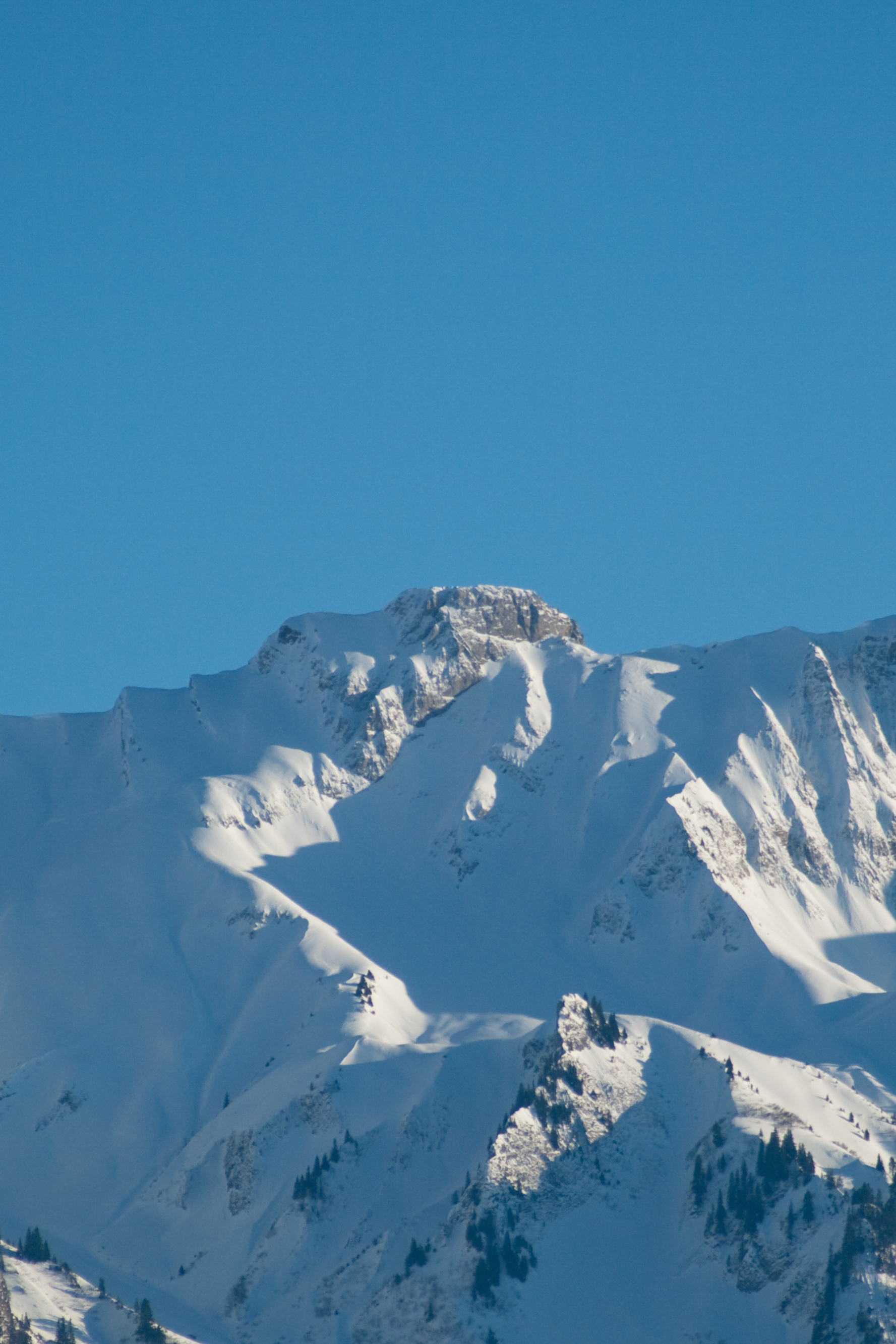 Vanil Carré7,201 ft · Vaud, SwitzerlandPhoto: Ludovic Péron, CC BY-SA 3.0 (via Wikimedia Commons)
 Gros Van7,182 ft · Vaud, SwitzerlandPhoto: Zacharie Grossen, CC BY-SA 3.0 (via Wikimedia Commons)
 La Videmanette7,169 ft · Vaud, SwitzerlandPhoto: Björn S..., CC BY-SA 2.0 (via Wikimedia Commons)
- Pointe de Tso y Bots7,146 ft · Vaud, Switzerland
 Mont d'Or7,136 ft · Vaud, SwitzerlandPhoto: Christian David, CC BY-SA 4.0 (via Wikimedia Commons)
 La Palette7,123 ft · Vaud, SwitzerlandPhoto: Björn S..., CC BY-SA 2.0 (via Wikimedia Commons)
- Les Salaires7,119 ft · Vaud, Switzerland
 La Douve7,119 ft · Vaud, SwitzerlandPhoto: Björn S., CC BY-SA 3.0 (via Wikimedia Commons)
 Tour d'Anzeinde7,116 ft · Vaud, SwitzerlandPhoto: Björn S., CC BY-SA 3.0 (via Wikimedia Commons)
- La Tour7,110 ft · Vaud, Switzerland
 Rocher à Pointes7,110 ft · Vaud, SwitzerlandPhoto: Roland Zumbuehl, CC BY-SA 4.0 (via Wikimedia Commons)
- Pointe de la Videman7,103 ft · Vaud, Switzerland
- Pointe d'Aussel7,083 ft · Vaud, Switzerland
 Tête des Filasses7,077 ft · Vaud, SwitzerlandPhoto: Björn S., CC BY-SA 3.0 (via Wikimedia Commons)
- La Corde7,064 ft · Vaud, Switzerland
 Tour de Famelon7,031 ft · Vaud, SwitzerlandPhoto: Christian David, CC BY-SA 4.0 (via Wikimedia Commons)
- La Douvette7,031 ft · Vaud, Switzerland
- Tête à Josué6,991 ft · Vaud, Switzerland
 Le Chamossaire6,929 ft · Vaud, SwitzerlandPhoto: Braegel Bernd Brägelmann, CC BY-SA 4.0 (via Wikimedia Commons)
- Crête de Chaux Commun6,923 ft · Vaud, Switzerland
- Le Triau6,890 ft · Vaud, Switzerland
- Arnätschistand6,880 ft · Vaud, Switzerland
 Croix de Javerne6,880 ft · Vaud, SwitzerlandPhoto: Björn S..., CC BY-SA 2.0 (via Wikimedia Commons)
 Rocher du Midi6,877 ft · Vaud, SwitzerlandPhoto: Zacharie Grossen, CC BY-SA 3.0 (via Wikimedia Commons)
- Roc de la Vache6,857 ft · Vaud, Switzerland
- La Rionde6,844 ft · Vaud, Switzerland
- Dent de Combette6,831 ft · Vaud, Switzerland
- Pointe de Cray6,791 ft · Vaud, Switzerland
- Höje Stand6,778 ft · Vaud, Switzerland
- Coumatta6,722 ft · Vaud, Switzerland
 Berneuse6,719 ft · Vaud, SwitzerlandPhoto: Deralpinbergsteiger, CC BY-SA 4.0 (via Wikimedia Commons)
- Arête Dorchaux6,703 ft · Vaud, Switzerland
 Rochers de Naye6,699 ft · Vaud, SwitzerlandPhoto: Christian David, CC BY-SA 4.0 (via Wikimedia Commons)
- Tête de Chat6,696 ft · Vaud, Switzerland
 Plan de la Douve6,693 ft · Vaud, SwitzerlandPhoto: Björn S., CC BY-SA 3.0 (via Wikimedia Commons)
- Corne Aubert6,686 ft · Vaud, Switzerland
- Haute Combe6,686 ft · Vaud, Switzerland
- Rochers des Rayes6,647 ft · Vaud, Switzerland
 Pointe d'Aveneyre6,647 ft · Vaud, SwitzerlandPhoto: Ludovic Péron, CC BY-SA 3.0 (via Wikimedia Commons)
- Geteillon6,617 ft · Vaud, Switzerland
 Chaux de Tompey6,611 ft · Vaud, SwitzerlandPhoto: Björn S., CC BY-SA 3.0 (via Wikimedia Commons)
 La Chaux-Ronde6,608 ft · Vaud, SwitzerlandPhoto: Wouter Hagens, CC BY-SA 3.0 (via Wikimedia Commons)
- Petit Van6,581 ft · Vaud, Switzerland
- Rocher Pourri6,568 ft · Vaud, Switzerland
- Amelier6,565 ft · Vaud, Switzerland
- Château Chamois6,503 ft · Vaud, Switzerland
- Pointe d'Arpille6,503 ft · Vaud, Switzerland
 Grande Chaux de Naye6,503 ft · Vaud, SwitzerlandPhoto: Christian David, CC BY-SA 4.0 (via Wikimedia Commons)
 La Riondaz6,499 ft · Vaud, SwitzerlandPhoto: Björn S., CC BY-SA 3.0 (via Wikimedia Commons)
- Roc d'Orsay6,483 ft · Vaud, Switzerland
 Dent de Corjon6,450 ft · Vaud, SwitzerlandPhoto: Zacharie Grossen, CC BY-SA 3.0 (via Wikimedia Commons)
 Cape au Moine6,368 ft · Vaud, SwitzerlandPhoto: Touriste, Public domain (via Wikimedia Commons)
 Tête à Niouston6,365 ft · Vaud, SwitzerlandPhoto: Björn S., CC BY-SA 3.0 (via Wikimedia Commons)
- La Motte6,365 ft · Vaud, Switzerland
- Tête de Meilleret6,358 ft · Vaud, Switzerland
- Pointe à l'Aiguille6,339 ft · Vaud, Switzerland
 Planachaux6,316 ft · Vaud, SwitzerlandPhoto: Zacharie Grossen, CC BY-SA 3.0 (via Wikimedia Commons)
- Roc à l'Ours6,312 ft · Vaud, Switzerland
- Sex des Placettes6,253 ft · Vaud, Switzerland
- L'Aiguille6,234 ft · Vaud, Switzerland
- Corbé6,227 ft · Vaud, Switzerland
- La Truche6,224 ft · Vaud, Switzerland
 Le Pila6,207 ft · Vaud, SwitzerlandPhoto: Björn S., CC BY-SA 3.0 (via Wikimedia Commons)
- Sex Mossard6,204 ft · Vaud, Switzerland
- Chaux de Culand6,204 ft · Vaud, Switzerland
- Comba Litou6,165 ft · Vaud, Switzerland
- Tête du Lévanchy6,165 ft · Vaud, Switzerland
- Corne des Brenlaires6,165 ft · Vaud, Switzerland
- Les Rodomonts6,161 ft · Vaud, Switzerland
 Dent de Jaman6,152 ft · Vaud, SwitzerlandPhoto: Christian David, CC BY-SA 4.0 (via Wikimedia Commons)
 Dent de Hautadon6,138 ft · Vaud, SwitzerlandPhoto: Björn S..., CC BY-SA 2.0 (via Wikimedia Commons)
- Sex du Parc aux Feyes6,122 ft · Vaud, Switzerland
- Les Coursis6,115 ft · Vaud, Switzerland
 Le Merdasson6,102 ft · Vaud, SwitzerlandPhoto: Christian David, CC BY-SA 4.0 (via Wikimedia Commons)
- Crêt des Moulettes6,060 ft · Vaud, Switzerland
- Le Guenéflin6,053 ft · Vaud, Switzerland
- Pointe de Cananée6,043 ft · Vaud, Switzerland
- Gros Châtillon6,024 ft · Vaud, Switzerland
- La Chaux5,991 ft · Vaud, Switzerland
- Tête des Châtelards5,978 ft · Vaud, Switzerland
 Pointe du Chevrier5,932 ft · Vaud, SwitzerlandPhoto: Björn S., CC BY-SA 3.0 (via Wikimedia Commons)
- Sex des Paccots5,925 ft · Vaud, Switzerland
- Sex des Nombrieux5,922 ft · Vaud, Switzerland
- Aussemont5,883 ft · Vaud, Switzerland
- Corne du Soere5,869 ft · Vaud, Switzerland
 Malatraix5,801 ft · Vaud, SwitzerlandPhoto: Ji-Elle, CC BY-SA 3.0 (via Wikimedia Commons)
 Tête à Bosset5,778 ft · Vaud, SwitzerlandPhoto: Björn S., CC BY-SA 3.0 (via Wikimedia Commons)
 Le Molard5,748 ft · Vaud, SwitzerlandPhoto: Björn S..., CC BY-SA 2.0 (via Wikimedia Commons)
 Monts Chevreuils5,738 ft · Vaud, SwitzerlandPhoto: Björn S..., CC BY-SA 2.0 (via Wikimedia Commons)
 Tête de la Minaude5,712 ft · Vaud, SwitzerlandPhoto: Eginhard, CC BY-SA 4.0 (via Wikimedia Commons)
 Le Folly5,676 ft · Vaud, SwitzerlandPhoto: TriviaKing (talk)DWS, CC BY-SA 3.0 (via Wikimedia Commons)
- La Chuantse5,659 ft · Vaud, Switzerland
 Les Dentaux5,627 ft · Vaud, SwitzerlandPhoto: Maude Rion, CC BY-SA 4.0 (via Wikimedia Commons)
 L'Aiguille5,620 ft · Vaud, SwitzerlandPhoto: Björn S., CC BY-SA 3.0 (via Wikimedia Commons)
 Mont Tendre5,509 ft · Vaud, SwitzerlandPhoto: Björn S., CC BY-SA 3.0 (via Wikimedia Commons)
- Laitemaire5,505 ft · Vaud, Switzerland
- Tête de la Scia5,348 ft · Vaud, Switzerland
 Pointe de Poêle Chaud5,341 ft · Vaud, SwitzerlandPhoto: Björn S., CC BY-SA 3.0 (via Wikimedia Commons)
- Sex de la Sarse5,331 ft · Vaud, Switzerland
 Le Chasseron5,272 ft · Vaud, SwitzerlandPhoto: Spigaf, CC BY-SA 3.0 (via Wikimedia Commons)
 Le Suchet5,210 ft · Vaud, SwitzerlandPhoto: Vodimivado, CC BY-SA 3.0 (via Wikimedia Commons)
 Petites Roches5,194 ft · Vaud, SwitzerlandPhoto: Pmau, CC BY-SA 4.0 (via Wikimedia Commons)
 Grand Cunay5,164 ft · Vaud, SwitzerlandPhoto: de:User:Vodimivado, CC BY-SA 3.0 (via Wikimedia Commons)
 Le Noirmont5,141 ft · Vaud, SwitzerlandPhoto: Alexey M., CC BY-SA 4.0 (via Wikimedia Commons)
 Aiguilles de Baulmes5,118 ft · Vaud, SwitzerlandPhoto: Pmau, CC BY-SA 4.0 (via Wikimedia Commons)
 Pointe de Fin Château5,102 ft · Vaud, SwitzerlandPhoto: Björn S., CC BY-SA 3.0 (via Wikimedia Commons)
 Le Noirmont-des-Français5,075 ft · Vaud, SwitzerlandPhoto: Björn Sothmann, CC BY-SA 3.0 (via Wikimedia Commons)
- Crêt des Danses5,030 ft · Vaud, Switzerland
 Mont Pelé5,023 ft · Vaud, SwitzerlandPhoto: Alexey M., CC BY-SA 4.0 (via Wikimedia Commons)
- Le Débandit5,016 ft · Vaud, Switzerland
- Sonlomont5,016 ft · Vaud, Switzerland
 La Barillette5,013 ft · Vaud, SwitzerlandPhoto: The original uploader was Marc Mongenet at French Wikipedia., CC BY-SA 3.0 (via Wikimedia Commons)
- Crêt du Mondisé4,991 ft · Vaud, Switzerland
- Crêt des Gouilles4,983 ft · Vaud, Switzerland
- Tête du Paccot4,967 ft · Vaud, Switzerland
 Mont Sâla4,957 ft · Vaud, SwitzerlandPhoto: Alexey M., CC BY-SA 4.0 (via Wikimedia Commons)
 Les Mosses4,948 ft · Vaud, SwitzerlandPhoto: Björn S., CC BY-SA 3.0 (via Wikimedia Commons)
 Crêt de la Neuve4,902 ft · Vaud, SwitzerlandPhoto: Alexey M., CC BY-SA 4.0 (via Wikimedia Commons)
- Le Sex Rouge 1484m4,869 ft · Vaud, Switzerland
 Le Cochet4,865 ft · Vaud, SwitzerlandPhoto: Pmau, CC BY-SA 4.0 (via Wikimedia Commons)
 Dent de Vaulion4,864 ft · Vaud, SwitzerlandPhoto: Christian David, CC BY-SA 4.0 (via Wikimedia Commons)
- Les Platières4,813 ft · Vaud, Switzerland
- Mont de la Maya4,810 ft · Vaud, Switzerland
 Le Soliat4,806 ft · Vaud, SwitzerlandPhoto: Spigaf, CC BY-SA 3.0 (via Wikimedia Commons)
- Haut du Mollendruz4,724 ft · Vaud, Switzerland
- Châtel4,698 ft · Vaud, Switzerland
- Crêt Teni4,665 ft · Vaud, Switzerland
- Gros Crêt4,656 ft · Vaud, Switzerland
- Le Praisot4,557 ft · Vaud, Switzerland
 Les Pléiades4,462 ft · Vaud, SwitzerlandPhoto: Björn S., CC BY-SA 3.0 (via Wikimedia Commons)
- Mont Aubert4,393 ft · Vaud, Switzerland
 Roche Champion4,390 ft · Vaud, SwitzerlandPhoto: photography taken by Christophe.Finot, CC BY-SA 3.0 (via Wikimedia Commons)
 Fruitières de Nyon4,369 ft · Vaud, SwitzerlandPhoto: Patrick Nouhailler's…, CC BY-SA 3.0 (via Wikimedia Commons)
- Crêt de Grison4,344 ft · Vaud, Switzerland
 La Vy des Gros4,268 ft · Vaud, SwitzerlandPhoto: Cdamond, CC BY-SA 4.0 (via Wikimedia Commons)
 Grande Enne4,252 ft · Vaud, SwitzerlandPhoto: Cdamond, CC BY-SA 4.0 (via Wikimedia Commons)
Routes that start here
- Accès hivernal à la cabane PerrenoudEasy · 2.6 mi round trip · 571 ft gain
- Arboretum de Riex
- Atipic - Récré Active (Tipis)
- Auberge et Restaurant du Pont de Nant
- AuféruModerate · 6.6 mi round trip · 4,912 ft gain
- Bain des Dames
- Bain des Dames
- Bain des Hommes
- Bains de la Crottaz
- Bois de Caboules
- Bois de Chênes, Echilly
- Bois Gentil
- Bord du Lac
- Boucle bleueEasy · 1.9 mi · 530 ft gain
- Boucle noireHard · 2.1 mi · 924 ft gain
- Boucle rougeModerate · 6.0 mi round trip · 1,410 ft gain
- Bretaye - VillarsModerate · 13.3 mi · 2,305 ft gain
- Buvette des Brigands
- Cabane Barraud
- Cabane CAS du Mont d'Or
- Cabane d'Orny dent de vaulion
- Cabane de Jaman
- Cabane de l'Écureuil
- Cabane de la gym C.A.S.
- Cabane de la Rotta
- Cabane de la Tourche
- Cabane de la Videmanette
- Cabane de Plan Névé
- Cabane des Diablerets
- Cabane des Electriciens
- Cabane des Martinaux
- Cabane des Monts-Chevreuils
- Cabane des Monts-de-Pully
- Cabane du Cunay
- Cabane du Moutonnier
- Cabane du Ski Club de Vallorbe
- Cabane Perrenoud
- Cabane Rochefort
- Cabane scoute du Sentier
- Camping à la Ferme
- Camping Au Grand-Bois
- Camping au Pré Sous Ville
- Camping Aux Vernes
- Camping communal de Cudrefin
- Camping de Belle-Rive
- Camping de la Menthue
- Camping de la Murée
- Camping de La Pichette
- Camping De La Piscine
- Camping de Moudon
- Camping de Vidy
- Camping des Buis
- Camping des Buis
- Camping des Buis
- Camping des Cases
- Camping des Cluds
- Camping du Bois de Fey
- Camping du Lac de Joux
- Camping Le Pécos
- Camping Le Vaud
- Camping Les Pins
- Camping VD 8 Pointe d'Yvonand
- Camping Yverdon Plage
- Caravaning En Vendôme
- CAS Chalet Lacombe
- Cascade de tuf
- Cascade du Dar
- Cascade du Dard
- Cascade du Ramaclé
- Cascades du Covatanne
- Chalet de la Combe Gelée
- Chalet de la Croix
- Chalet de La Pile-Dessus
- Chalet de Sautodoz
- Chalet des Tuffes
- Chalet du Pré du Creux
- Chalet La Planiaz
- Chalet Scout
- Chemin de la CariçaieModerate · 2.3 mi round trip · 1,287 ft gain
- Chemin de la CretazModerate · 1.9 mi round trip · 1,197 ft gain
- Chemin de la PuyazEasy · 0.7 mi · 585 ft gain
- Chemin de la RaverettazEasy · 0.8 mi · 344 ft gain
- Chemin de la rive droite du Vallon du NozonModerate · 1.4 mi round trip · 614 ft gain
- Chemin de la TraverseEasy · 1.1 mi · 536 ft gain
- Chemin de MézeryEasy · 3.3 mi round trip · 407 ft gain
- Chemin des Crêtes du Jura4.1 mi · 1,690 ft gain
- Chemin des GentianesEasy · 1.6 mi · 480 ft gain
- Chemin des GrangettesEasy · 0.5 mi · 152 ft gain
- Chemin des Mines1.6 mi round trip · 389 ft gain
- Chemin des Presidents1.1 mi round trip · 265 ft gain
- Chemin des PrévondesEasy · 0.6 mi round trip · 468 ft gain
- Chemin des Trois-Lacs38.8 mi · 2,004 ft gain
- Chemin des ViozEasy · 0.8 mi · 667 ft gain
- Chemin du Bas du RisouxEasy · 2.4 mi round trip · 596 ft gain
- Chemin du Gros BoisModerate · 0.9 mi · 52 ft gain
- Chemin du Revers de la PlaniazEasy · 1.5 mi round trip · 1,735 ft gain
- Chemin du VernexEasy · 2.3 mi · 235 ft gain
- Chemin GrasHard · 1.5 mi round trip · 560 ft gain
- Chemin MagninEasy · 1.8 mi · 842 ft gain
- Chemin panorama alpinEasy · 7.0 mi · 3,350 ft gain
- Chemin SaugyModerate · 2.4 mi round trip · 360 ft gain
- Chutes des Eaux Minérales
- Crête des CoursisHard · 0.7 mi round trip · 758 ft gain
- Descente du Mont Bailly0.9 mi · 91 ft gain
- Descente du Mont Bailly (via l'est)1.0 mi · 15 ft gain
- Descente du Mont Chaubert0.7 mi · 817 ft gain
- Embouchure de l'Aubonne
- Espace Cendrillon
- Frassettes
- Gorge de Chauderon
- Gorges poëta-raisse
- Haute Joux1.7 mi · 511 ft gain
- Isenau BikeModerate · 9.8 mi · 2,386 ft gain
- La Bouennaz
- La Cabane des Choucas
- La Cascade
- La Chotte
- La Cure d'Air
- La Dôle-Givrins9.8 mi · 4,159 ft gain
- La Five à Mayor
- La Jaique
- La JorasseEasy · 1.6 mi · 591 ft gain
- La motteModerate · 3.6 mi round trip · 2,166 ft gain
- La motteModerate · 0.7 mi round trip · 362 ft gain
- La Palestine
- La passerelle a DaguetteEasy · 13.4 mi · 2,103 ft gain
- La petite plage
- La Sarine8.6 mi
- La Vare
- La Vraconnaz3.7 mi · 710 ft gain
- Le Berceau
- Le Cuizon
- Le Grand Puit2.5 mi · 493 ft gain
- Le Grillet CAS
- Le Ranch
- Le Richard
- Le Signal
- Les Buis
- Les ClousHard · 1.5 mi round trip · 2,068 ft gain
- Les Combes
- Les Illars
- Les Marguerites4.7 mi · 703 ft gain
- Les Mouilles
- Les Petites Fauconnières
- Les PlacettesEasy · 1.2 mi · 148 ft gain
- Les Pralets
- Les Tâtris
- Maison de Champbaillard
- Maladaire
- MalatraixModerate · 3.0 mi round trip · 3,208 ft gain
- Montreux Panorama Bike2.0 mi · 1,036 ft gain
- Parc à bisons de Suchy
- Parc naturel du Jorat
- Parc naturel régional Jura vaudois
- Piscine Camping Payerne
- Plage d'Allaman
- Plage de Buchillon
- Plage de Concise
- Plage de Corcelettes / Les Pins
- Plage de Crans
- Plage de Founex
- Plage de Grandvaux
- Plage de l'Ancien Stand
- Plage de la Budaz
- Plage de La Dullive
- Plage de la Falaise
- Plage de la Falaise
- Plage de la Piquettaz
- Plage de Moratel
- Plage de Perroy
- Plage de Promenthoux
- Plage de Rolle
- Plage de Shiraz
- Plage de St-Saphorin
- Plage de Villette
- Plage des Culs-Nuls
- plage des mélières Buchillon
- Plage des peicheurs
- Plage des Pierrettes
- Plage des Pins
- Plage des Rives du Lac
- Plage des Rocailles
- Plage des Trois Jetées
- Plage du Boiron
- Plage du Pélican
- Plage du port du Vieux-Stand
- Plage du Refuge
- Plage du VD8
- Plage Haldimand - Rives du Lac
- Plage publique
- Plateau des Granges5.2 mi · 522 ft gain
- Pointe de Promenthoux
- port de concise
- Pra Collet
- Pra Cornet
- Refuge "Les 3.com"
- Refuge de Boulex
- Refuge de Champvent
- Refuge de Chassagne (Ville d'Orbe)
- Refuge de Chenaulaz
