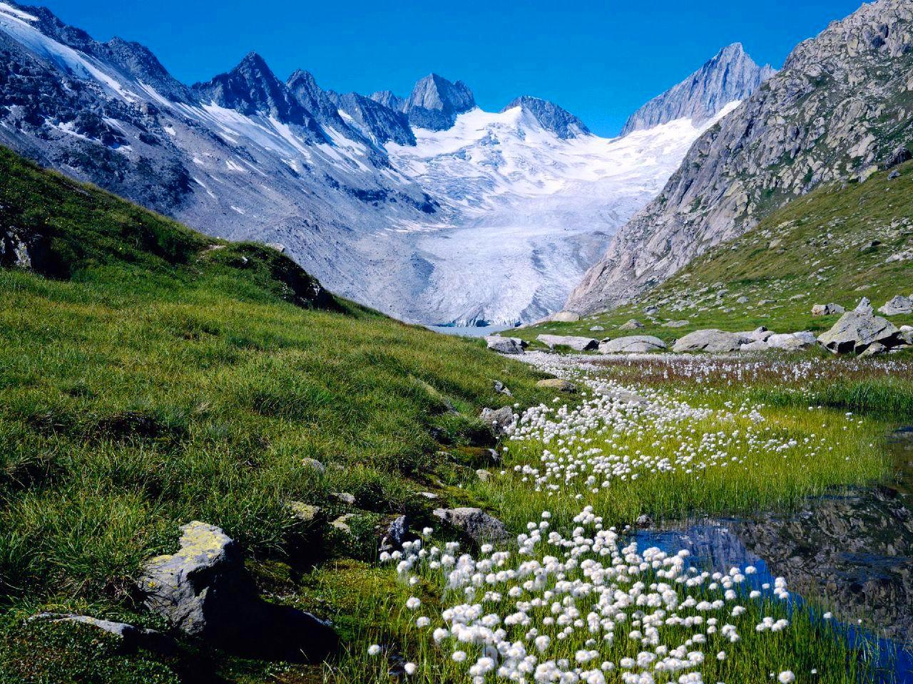
Oberaarrothhorn
About
Oberaarrothhorn is a mountain in Valais, Switzerland, with its summit at about 11,410 ft (3,477 m) above sea level. No mapped trail reaches the top in OpenStreetMap, so plan the approach with local maps or a guide. The nearest town is Münster VS, about 4.5 miles northwest of the summit. Peaks within about 3 miles include Oberaarnollen, Hinteres Galmihorn and Oberaarhorn. For camping, Camping Riverside and Camping Brigga (Sektor C) are within about 6 miles. The location and elevation come from OpenStreetMap and the Copernicus 90 m elevation model. Check local access rules and conditions before you go.
Summit Facts
Summit elevation
11,407 ft
Location
Oberaarrothhorn
Valais
Data © OpenStreetMap contributors, available under the Open Database License (ODbL). View or edit on OpenStreetMap.
Conditions and forecast
Daily highs and lows, wind and the chance of precipitation at Oberaarrothhorn for the next 7 days, from the Open-Meteo model.
Facts about this place
Nearby
 OberaarjochhütteHut campingPhoto: Céline Stern-Kiener, CC BY-SA 3.0 (via Wikimedia Commons)0.5 mi
 OberaarhornSummitPhoto: Carsten Steger, CC BY-SA 4.0 (via Wikimedia Commons)0.8 mi
 Vorderes GalmihornSummitPhoto: lepetitNicolas, CC BY 2.0 (via Wikimedia Commons)1 mi
 WasenhornSummitPhoto: Fiesch, Public domain (via Wikimedia Commons)1.7 mi
 AarbiwakHut campingPhoto: Mallory1180, CC BY-SA 4.0 (via Wikimedia Commons)2.8 mi
 FinsteraarhornhütteHut campingPhoto: El.Sarmiento, CC BY-SA 3.0 (via Wikimedia Commons)3.2 mi
- Risihorn - SpilseeHiking4.2 mi
- Vast & FuriousMountain biking4.7 mi
Source: Roamze catalog (indexable pages within 10 miles, PostGIS distance)
Plan this with Roamze
Tell Roamze when you're going and who's coming. It plans the days, gear and food around this place.
Map and trail data © OpenStreetMap contributors
