Le Plamproz
A 1.6-mile cross-country ski trail that makes a loop in Valais, Switzerland.
- 1.6 mi
- loop
- 419 ft
- climb
- 4,514 ft
- high point
- Loop
- route
Le Plamproz is a 1.6-mile cross-country ski trail that makes a loop in Valais, Switzerland. It runs between about 4,390 ft and 4,510 ft above sea level, with roughly 420 ft of climbing over the route. It is mapped as a moderate route. It is groomed for classic and skate skiing. The nearest town is Fionnay, about 0.6 miles west of the start. Peaks within about 3 miles include La Rogneuse, Becca de Corbassière and Tête du Sarshlau. Cascade de Fionnay and Cascade du Pessot are within about 3 miles. For camping, Camping Forêt des Mélèzes et village Sioux is within about 6 miles. Distances, elevations and the trail shape here come from OpenStreetMap and the Copernicus 90 m elevation model. Grooming and snow conditions change daily, so check the local trail report before you go.
Keep exploring — more snow worth the drive
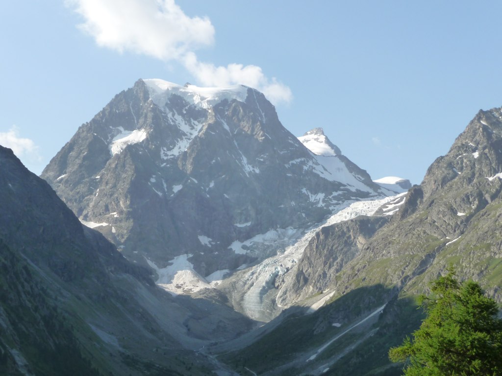 Photo: Patrick Nouhailler from Genève, Suisse, CC BY-SA 2.0 (via Wikimedia Commons)
Arolla - Usine
~16 min drive
A 1.7-mile cross-country ski trail that makes a loop in Valais, Switzerland.
 Photo: Stefanacci, CC0 (via Wikimedia Commons)
Pramousse - La Monta - Arolla
~16 min drive
An out-and-back cross-country ski trail in Valais, Switzerland.
 Photo: Vaquins, CC BY-SA 3.0 (via Wikimedia Commons)
Prés des Haudères
~18 min drive
An out-and-back cross-country ski trail in Valais, Switzerland.
 Photo: PiConsti, CC BY-SA 2.0 (via Wikimedia Commons)
Geltenhütte - Arpelistock über Rottal
~40 min drive
An out-and-back ski touring route in Bern, Switzerland.
Lo Gran Tor (30 Km.)
~32 min drive
A 18-mile cross-country ski trail that makes a loop in Aosta Valley, Italy.
Mont Blanc, Face Nord
~43 min drive
An out-and-back ski touring route in Auvergne-Rhône-Alpes, France.
Pralovin - Piste noire
~18 min drive
A 1.2-mile cross-country ski trail that makes a loop in Valais, Switzerland.
Lautrec - Piste rouge
~18 min drive
An out-and-back cross-country ski trail in Valais, Switzerland.
 Photo: Henk Monster, CC BY 3.0 (via Wikimedia Commons)
Prés d'Evolène
~19 min drive
An out-and-back cross-country ski trail in Valais, Switzerland.
 Photo: Rollopack, CC BY-SA 3.0 (via Wikimedia Commons)
Rifugio Deffeyes - Tete du Rutor
~50 min drive
An out-and-back ski touring route in Aosta Valley, Italy.
Also worth it near here
Chemin de Louvie
~1 min drive
 Photo: Olivier Bruchez
Camera location46° 02′ 13.94″ N, 7° 18′ 34.32″ E View this and other nearby images on: OpenStreetMap 46.037206; 7.309533, CC BY-SA 2.0 (via Wikimedia Commons)
Cascade de Fionnay
~1 min drive
 Photo: Olivier Bruchez from Lausanne, Switzerland, CC BY-SA 2.0 (via Wikimedia Commons)
Cabane de Louvie
~2 min drive
 Photo: Rooftops2, CC BY-SA 4.0 (via Wikimedia Commons)
Becca de Sery
~3 min drive
Camping Forêt des Mélèzes et village Sioux
~4 min drive
Conditions and forecast
Daily highs and lows, wind and the chance of precipitation at Le Plamproz for the next 7 days, from the Open-Meteo model.
Map and trail data © OpenStreetMap contributors
