
Hörnlihütte
Valais
Map
About
Hörnlihütte is a mountain hut in Valais, Switzerland, at about 10,700 ft (3,260 m) above sea level. It is run by SAC. It has about 120 beds. Drinking water is mapped at the hut. The nearest town is Zermatt, about 4.4 miles southwest of the hut. Peaks within about 3 miles include Picco Muzio, Épaule de Furggen and Matterhorn. Arbenbachfall is within about 3 miles. For camping, Camping Zermatt is within about 6 miles. The location and elevation come from OpenStreetMap and the Copernicus 90 m elevation model. Check local access rules and conditions before you go.
Campground Information
Photos
Conditions and forecast
Daily highs and lows, wind and the chance of precipitation at Hörnlihütte for the next 7 days, from the Open-Meteo model.
Facts about this place
Nearby
 MatterhornSummitPhoto: Gianluca Miscione, CC BY-SA 4.0 (via Wikimedia Commons)1 mi
 HirliSummitPhoto: Whgler, CC BY-SA 4.0 (via Wikimedia Commons)1.1 mi
 Rifugio Jean-Antoine CarrelHut campingPhoto: Bertubertu.
Original uploader was Bertubertu at it.wikipedia, CC BY-SA 3.0 (via Wikimedia Commons)1.5 mi
 Rifugio Duca degli Abruzzi all'OriondéHut campingPhoto: Francofranco56, Public domain (via Wikimedia Commons)2.3 mi
 Sentiero 35 dal paravalanghe Cherillon al Rifugio OriondéHikingPhoto: Tiia Monto, CC BY-SA 4.0 (via Wikimedia Commons)2.4 mi
- Moos-TrailMountain biking3.2 mi
 Plat de la LéeState parkPhoto: Arkelin, CC BY 4.0 (via Wikimedia Commons)9.6 mi
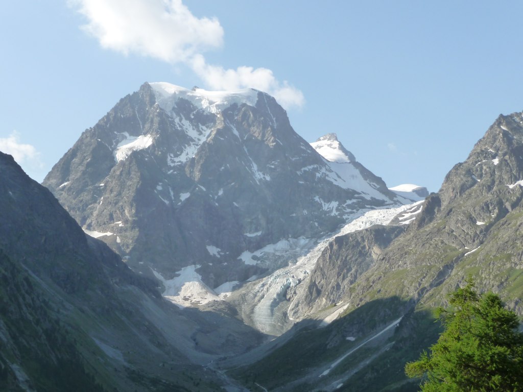 Cascades d'ArollaWaterfallPhoto: Patrick Nouhailler from Genève, Suisse, CC BY-SA 2.0 (via Wikimedia Commons)9.8 mi
Source: Roamze catalog (indexable pages within 10 miles, PostGIS distance)
Plan this with Roamze
Tell Roamze when you're going and who's coming. It plans the days, gear and food around this place.
Map and trail data © OpenStreetMap contributors
