Gotthard Camping Andermatt
A campground in Uri, Switzerland.
- At 4,718 ft
Gotthard Camping Andermatt is a campground in Uri, Switzerland, at about 4,720 ft above sea level. OpenStreetMap lists toilets, drinking water, showers and electric hookups. Camping here is paid. Trails within about a mile include European Long distance path E1 - part Switzerland, Furka-Höhenweg and Trans Swiss Trail. It is on the edge of Andermatt. Peaks within about 3 miles include Sattelegghubel, Stock and Spitzi. For camping, Zeltplatz-Mattli is within about 6 miles. The location and elevation come from OpenStreetMap and the Copernicus 90 m elevation model. Check local access rules and conditions before you go.
Make it a trip
Roamze builds the days around this campground: where to sleep, where to eat after, what to do if it rains. You change anything.
Keep exploring — more campsites worth the drive
 Photo: nadir_azur, CC BY-SA 3.0 (via Wikimedia Commons)
Salbithütte
~6 min drive
A mountain hut in Uri, Switzerland.
Zeltplatz-Mattli
~6 min drive
A campground in Uri, Switzerland.
 Photo: Capricorn4049, CC BY-SA 3.0 (via Wikimedia Commons)
Badushütte SAC Manegg
~6 min drive
A mountain hut in Grisons, Switzerland.
Camping Viva
~14 min drive
A campground in Grisons, Switzerland.
 Photo: Paebi, CC BY-SA 3.0 (via Wikimedia Commons)
Vermigel Hütte
~7 min drive
A mountain hut in Uri, Switzerland.
TempCamp - Stellplatz Rebberg Buchholz
~21 min drive
A campground in Uri, Switzerland.
 Photo: Isjc99, CC BY-SA 3.0 (via Wikimedia Commons)
Camona da Maighels CAS
~8 min drive
A mountain hut in Grisons, Switzerland.
 Photo: Pududuss, CC BY-SA 4.0 (via Wikimedia Commons)
Bergseehütte SAC
~9 min drive
A mountain hut in Uri, Switzerland.
 Photo: Coronium, CC BY-SA 3.0 (via Wikimedia Commons)
Albert-Heim-Hütte SAC
~11 min drive
A mountain hut in Uri, Switzerland.
 Photo: Werudolf, Public domain (via Wikimedia Commons)
Voralphütte SAC
~11 min drive
A mountain hut in Uri, Switzerland.
Also worth it near here
 Photo: W. Bulach, CC BY-SA 4.0 (via Wikimedia Commons)
Gottardo Bike Etappe 1 (Andermatt-Airolo)
~1 min drive
Trans Swiss Trail
~1 min drive
 Photo: Zacharie Grossen, CC BY-SA 3.0 (via Wikimedia Commons)
Gemsstock
~4 min drive
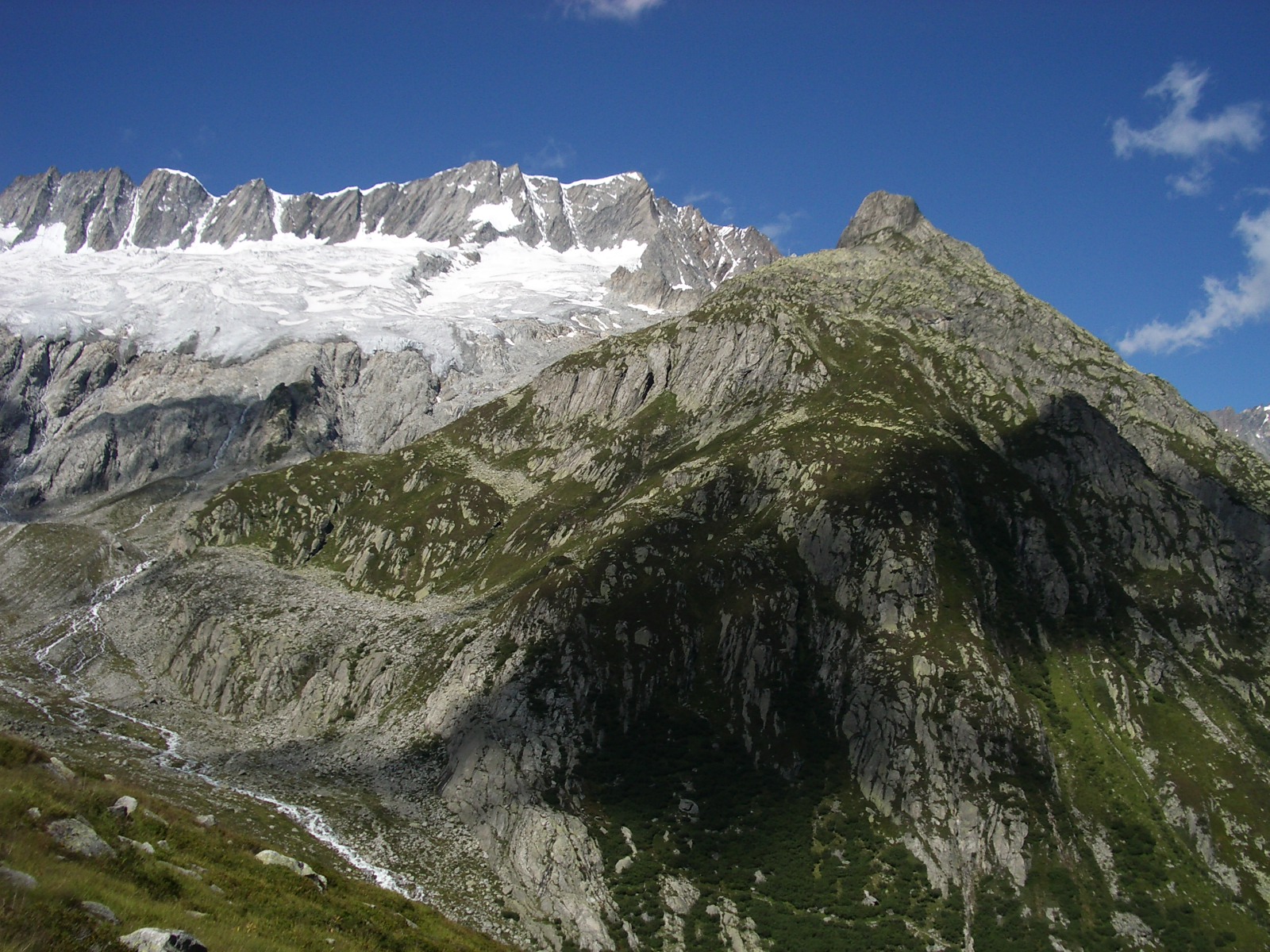 Photo: Paebi, CC BY-SA 3.0 (via Wikimedia Commons)
Dammastock: Klettersteig-Route to 7,700 ft (from Windenkammer station)
~8 min drive
Dreistäuberfälle
~11 min drive
Conditions and forecast
Daily highs and lows, wind and the chance of precipitation at Gotthard Camping Andermatt for the next 7 days, from the Open-Meteo model.
Map and trail data © OpenStreetMap contributors
