
Cascata delle Sponde III
About
Cascata delle Sponde III is a waterfall in Ticino, Switzerland, at about 1,480 ft above sea level. The drop is mapped at about 310 ft (95 m). It is on the edge of Riveo. Peaks within about 3 miles include Pizzo Castello, Zucchero and Punta di Spluga. Cascata delle Sponde II and Cascata delle Sponde I are within about 3 miles. The location and elevation come from OpenStreetMap and the Copernicus 90 m elevation model. Check local access rules and conditions before you go.
Waterfall Facts
Elevation
1,485 ft
Location
Cascata delle Sponde III
Ticino
Data © OpenStreetMap contributors, available under the Open Database License (ODbL). View or edit on OpenStreetMap.
Conditions and forecast
Daily highs and lows, wind and the chance of precipitation at Cascata delle Sponde III for the next 7 days, from the Open-Meteo model.
Facts about this place
Nearby
 Cascata delle Sponde IIWaterfallPhoto: pyraniton, CC BY 3.0 (via Wikimedia Commons)0.1 mi
 Cascata del BoschettoWaterfallPhoto: PantaRhei, CC BY-SA 4.0 (via Wikimedia Commons)1.9 mi
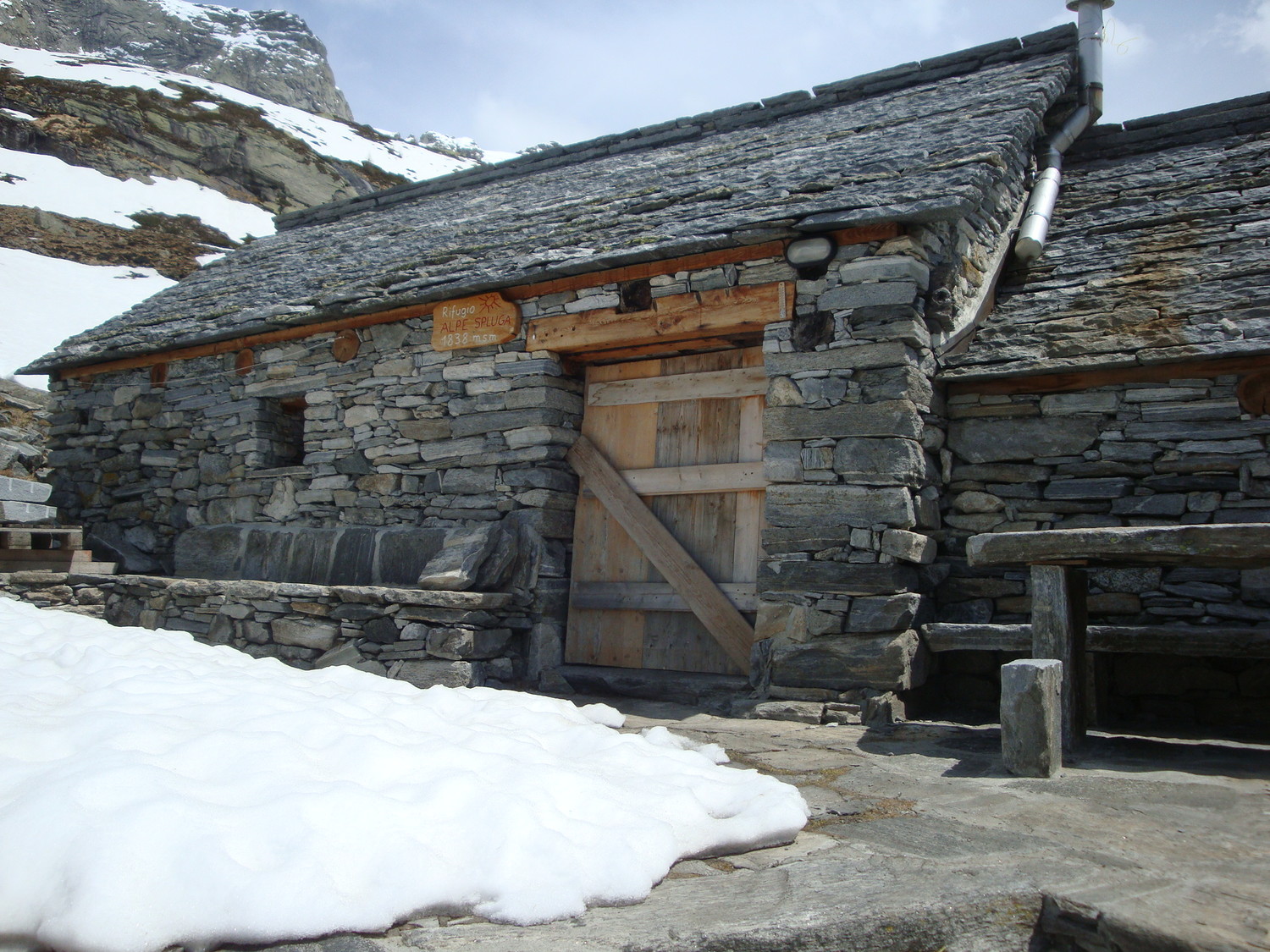 Rifugio Alpe SplugaHut campingPhoto: Date/heure 19 mai 2010 14:32
Contributeur Jean-Louis Pitteloud
Type d'image (licence) collaboratif (CC by-sa)
Ce contenu est sous licence Creative Commons BY-SA 3.0, CC BY-SA 3.0 (via Wikimedia Commons)2.3 mi
 Pizzo CramalinaSummitPhoto: Giovanni Bona, CC BY-SA 4.0 (via Wikimedia Commons)2.9 mi
 Capanna AlzascaHut campingPhoto: Date/heure 30 mai 2004, 18:54:48
Contributeur Jean-Louis Pitteloud
Type d'image (licence) collaboratif (CC by-sa)
CC BY SA 3.0
Ce contenu est sous licence Creative Commons BY-SA 3.0, CC BY-SA 3.0 (via Wikimedia Commons)3 mi
 Pizzo AlzascaSummitPhoto: Oli, CC BY-SA 4.0 (via Wikimedia Commons)3.3 mi
- al Scinc'Hiking4.4 mi
 Bagni di CraveggiaHot springPhoto: Glunggenbauer, CC BY-SA 4.0 (via Wikimedia Commons)8.3 mi
Source: Roamze catalog (indexable pages within 10 miles, PostGIS distance)
Plan this with Roamze
Tell Roamze when you're going and who's coming. It plans the days, gear and food around this place.
Map and trail data © OpenStreetMap contributors
