Rifugio Bassa di Nara
Ticino
Map
About
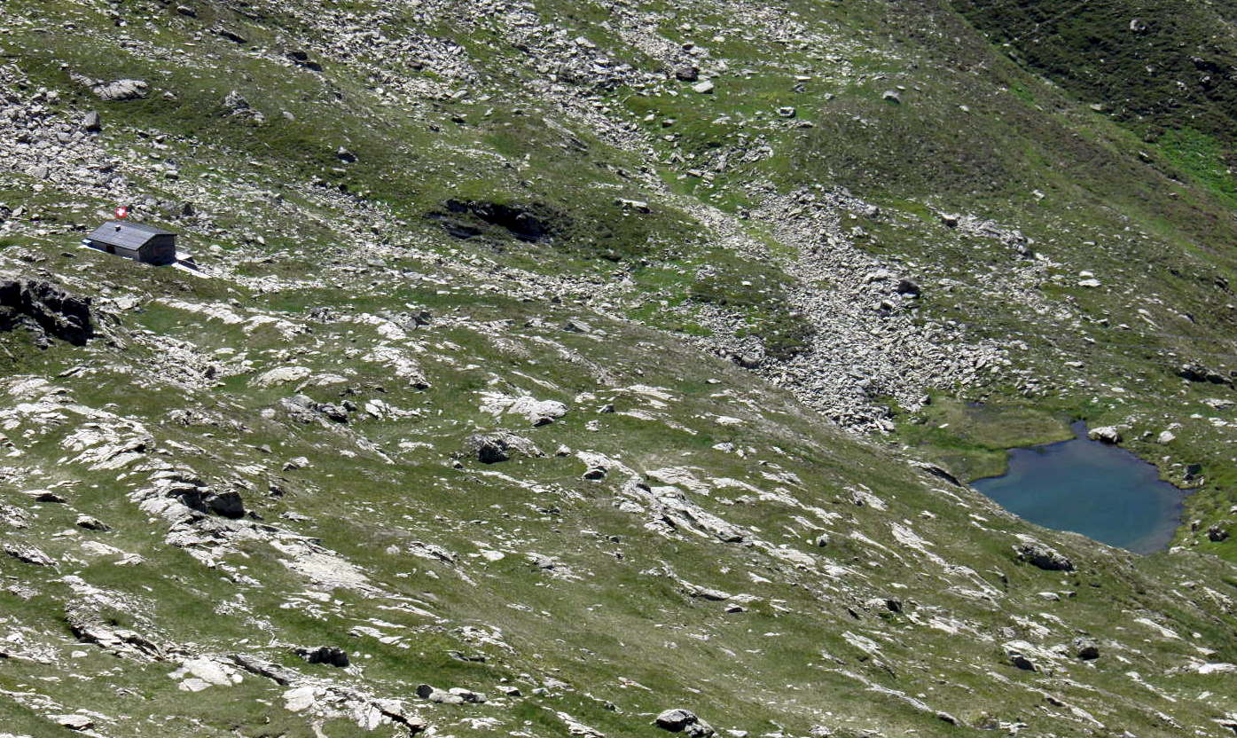
Rifugio Bassa di Nara is an unstaffed wilderness hut in Ticino, Switzerland, at about 6,980 ft (2,128 m) above sea level. It is run by Patriziato di Prugiasco. It has about 8 beds. Booking ahead is required. Opening times are mapped as Dec-Mar off. It has a stove or fireplace. Trails within about a mile include Pian Laghetto - Pizzo di Nara, Stabbio dei Larici - Pian Laghetto and Sentiero Alto Blenio. The nearest town is Chiggiogna, about 2.4 miles east of the hut. Peaks within about 3 miles include Pizzo di Nara, Mottarone and Poncione di Nara. For camping, Gottardo and Camping Piantett are within about 6 miles. The location and elevation come from OpenStreetMap and the Copernicus 90 m elevation model. Check local access rules and conditions before you go.
Campground Information
Photos
Conditions and forecast
Daily highs and lows, wind and the chance of precipitation at Rifugio Bassa di Nara for the next 7 days, from the Open-Meteo model.
Facts about this place
Nearby
- Pian Laghetto - Pizzo di NaraHiking0.1 mi
 Capanna PiandiosHut campingPhoto: Paebi, CC BY-SA 4.0 (via Wikimedia Commons)0.8 mi
- Stabbio dei Larici - Pian LaghettoHiking0.9 mi
- Sentiero Alto BlenioHiking1.1 mi
 Pizzo AltoSummitPhoto: Capricorn4049, CC BY-SA 4.0 (via Wikimedia Commons)2.2 mi
 Rifugio Gana RossaHut campingPhoto: Elvezio at Italian Wikipedia, CC BY-SA 3.0 (via Wikimedia Commons)2.4 mi
 Pizzo ErraSummitPhoto: Capricorn4049, CC BY-SA 4.0 (via Wikimedia Commons)2.8 mi
 Cascata PiumognaWaterfallPhoto: Sigmund Mandelson, CC BY-SA 4.0 (via Wikimedia Commons)3.6 mi
Source: Roamze catalog (indexable pages within 10 miles, PostGIS distance)
Plan this with Roamze
Tell Roamze when you're going and who's coming. It plans the days, gear and food around this place.
Map and trail data © OpenStreetMap contributors
