Regelsberg
- 3,399 ft
- summit
Regelsberg is a mountain in St. Gallen, Switzerland, with its summit at about 3,400 ft (1,036 m) above sea level. Mapped trails that come within about half a mile of the top include Züri Oberland-Höhenweg. The nearest town is Steg im Tösstal, about 1.8 miles northeast of the summit. Peaks within about 3 miles include Silberbüel, Hörnli and Alewindebööl. Fuchslochbach Wasserfall I and Fuchslochbach Wasserfall II are within about 3 miles. For camping, Campingplatz Waldruh and Naturistengelände "die neue Zeit" are within about 6 miles. In a typical July, the warmest month, highs reach about 68°F (20°C) and lows about 52°F (11°C); in January, the coldest, highs are about 36°F (2°C) and lows about 23°F (-5°C). Precipitation falls on about 18 days in July, the wettest month, and about 13 days in February, the driest. These typical figures for 1981–2010 come from the CHELSA 1 km climate model and CRU TS 4.09. The location and elevation come from OpenStreetMap and the Copernicus 90 m elevation model. Check local access rules and conditions before you go.
Conditions and forecast
Daily highs and lows, wind and the chance of precipitation at the summit for the next 7 days, from the Open-Meteo model.
- Summit elevation
- 3,399 ft
We don't know of a mapped trail or route to the summit of Regelsberg. Plan the approach with local maps, a guidebook or a local guide, and check conditions before you go.
Questions about Regelsberg
How tall is Regelsberg?
3,399 ft (1,036 m).
Is there a trail to the top of Regelsberg?
We don't know of a mapped trail or route to the summit. Plan the approach with local maps, a guidebook or a local guide.
 Tödi11,850 ft · Glarus, Switzerland1 route39 mi awayPhoto: Carsten Steger, CC BY-SA 4.0 (via Wikimedia Commons)
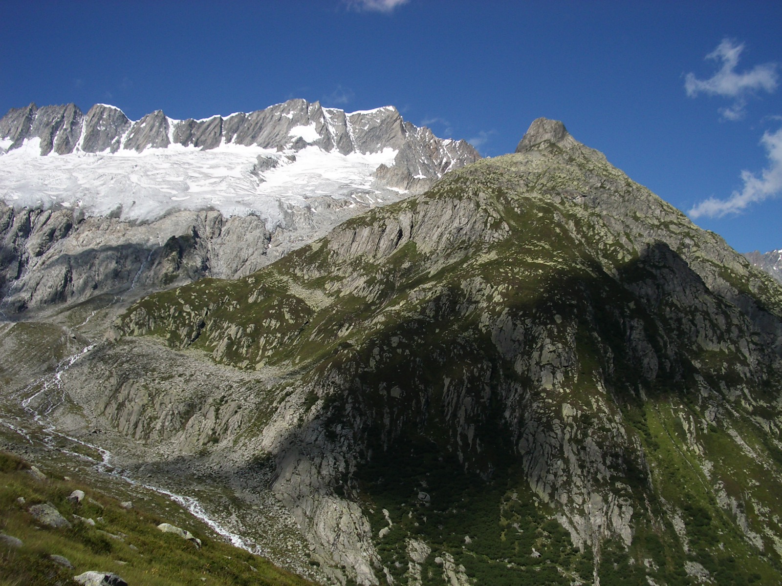 Dammastock11,909 ft · Uri, Switzerland1 route56 mi awayPhoto: Paebi, CC BY-SA 3.0 (via Wikimedia Commons)
 Rheinwaldhorn11,161 ft · Grisons, Switzerland1 route61 mi awayPhoto: Werner Friedli, CC BY-SA 4.0 (via Wikimedia Commons)
 Jungfrau13,642 ft · Valais, Switzerland1 route75 mi awayPhoto: Daniel Reust, CC BY-SA 4.0 (via Wikimedia Commons)
 Piz Bernina13,281 ft · Grisons, Switzerland1 route82 mi awayPhoto: Günter Seggebäing, CC BY-SA 3.0 (via Wikimedia Commons)
 HörnliSummitPhoto: No machine-readable author provided. Albireo~commonswiki assumed (based on copyright claims)., CC BY-SA 3.0 (via Wikimedia Commons)0.7 mi
 Fuchslochbach Wasserfall IWaterfallPhoto: PantaRhei, CC BY-SA 4.0 (via Wikimedia Commons)1.3 mi
 IddaburgSummitPhoto: Gr650, CC BY-SA 4.0 (via Wikimedia Commons)1.5 mi
 Fuchslochbach Wasserfall IIWaterfallPhoto: PantaRhei, CC BY-SA 4.0 (via Wikimedia Commons)1.7 mi
- Campingplatz WaldruhCamping2.8 mi
- Hütte HofholzHut camping3.3 mi
- GhöchweidwegMountain biking3.4 mi
- Nord-LoopMountain biking3.4 mi
Source: Roamze catalog (indexable pages within 10 miles, PostGIS distance)
- HörnliSummit · ~1 min drivePhoto: No machine-readable author provided. Albireo~commonswiki assumed (based on copyright claims)., CC BY-SA 3.0 (via Wikimedia Commons)
- IddaburgSummit · ~3 min drivePhoto: Gr650, CC BY-SA 4.0 (via Wikimedia Commons)
 SchlosshöchiSummit · ~6 min drivePhoto: 1-Byte, CC BY-SA 4.0 (via Wikimedia Commons)
 SchnebelhornSummit · ~6 min drivePhoto: Pluessline386, CC BY-SA 3.0 (via Wikimedia Commons)
- SilberbüelSummit · Next door
- AlewindeböölSummit · ~1 min drive
- ChlihörnliSummit · ~1 min drive
- GrootSummit · ~2 min drive
- SpitzSummit · ~2 min drive
- JohannenbölSummit · ~2 min drive
Also worth it near here
- Fuchslochbach Wasserfall IWaterfall · ~2 min drivePhoto: PantaRhei, CC BY-SA 4.0 (via Wikimedia Commons)
- GhöchweidwegMountain biking · ~6 min drive
- Rueggental-LoipeCross-country skiing · ~8 min drive
- ChupferhammerwegHiking · ~8 min drive
 Camping SalandCamping · ~8 min drivePhoto: Jag9889, CC BY-SA 4.0 (via Wikimedia Commons)
Map and trail data © OpenStreetMap contributors
