Muraun pign
- 8,278 ft
- summit
Muraun pign is a mountain in Grisons, Switzerland, with its summit at about 8,280 ft (2,523 m) above sea level. No mapped trail reaches the top in OpenStreetMap, so plan the approach with local maps or a guide. The nearest town is Curaglia, about 2.4 miles east of the summit. Peaks within about 3 miles include Muraun Pign, Piz Muraun and Piz Cazirauns. For camping, Campadi Garvera and Campingplatz Trun are within about 6 miles. In a typical July, the warmest month, highs reach about 53°F (12°C) and lows about 35°F (2°C); in January, the coldest, highs are about 15°F (-9°C) and lows about 1°F (-17°C). Precipitation falls on about 19 days in April, the wettest month, and about 15 days in January, the driest. These typical figures for 1981–2010 come from the CHELSA 1 km climate model and CRU TS 4.09. The location and elevation come from OpenStreetMap and the Copernicus 90 m elevation model. Check local access rules and conditions before you go.
Conditions and forecast
Daily highs and lows, wind and the chance of precipitation at the summit for the next 7 days, from the Open-Meteo model.
- Summit elevation
- 8,278 ft
We don't know of a mapped trail or route to the summit of Muraun pign. Plan the approach with local maps, a guidebook or a local guide, and check conditions before you go.
Questions about Muraun pign
How tall is Muraun pign?
8,278 ft (2,523 m).
Is there a trail to the top of Muraun pign?
We don't know of a mapped trail or route to the summit. Plan the approach with local maps, a guidebook or a local guide.
 Tödi11,850 ft · Glarus, Switzerland1 route9.0 mi awayPhoto: Carsten Steger, CC BY-SA 4.0 (via Wikimedia Commons)
 Rheinwaldhorn11,161 ft · Grisons, Switzerland1 route14 mi awayPhoto: Werner Friedli, CC BY-SA 4.0 (via Wikimedia Commons)
 Dammastock11,909 ft · Uri, Switzerland1 route23 mi awayPhoto: Paebi, CC BY-SA 3.0 (via Wikimedia Commons)
 Jungfrau13,642 ft · Valais, Switzerland1 route46 mi awayPhoto: Daniel Reust, CC BY-SA 4.0 (via Wikimedia Commons)
 Piz Bernina13,281 ft · Grisons, Switzerland1 route52 mi awayPhoto: Günter Seggebäing, CC BY-SA 3.0 (via Wikimedia Commons)
 Weissmies13,166 ft · Valais, Switzerland1 route57 mi awayPhoto: Michael Schmid, CC BY-SA 3.0 (via Wikimedia Commons)
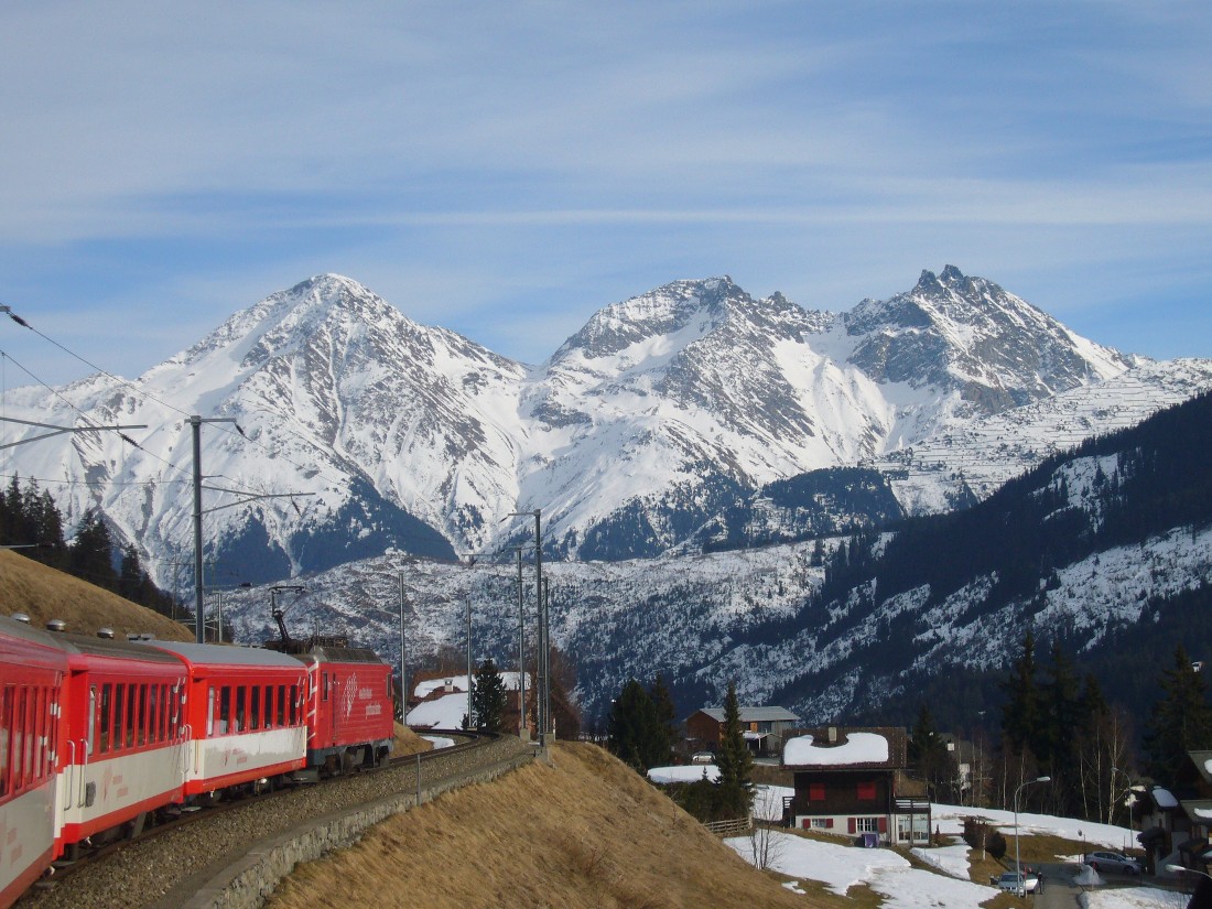 Piz MuraunSummitPhoto: Caumasee, CC BY-SA 3.0 (via Wikimedia Commons)0.6 mi
 Piz AultSummitPhoto: Uploaded by albinfo, Public domain (via Wikimedia Commons)2.7 mi
- Senda Camona da MedelHiking2.7 mi
 Camona da Medel CASHut campingPhoto: Isjc99, CC BY-SA 3.0 (via Wikimedia Commons)2.8 mi
- Campadi GarveraCamping3.2 mi
- Senda Cuolms da NadelsMountain biking4.1 mi
 Piz MedelSummitPhoto: Isjc99, CC BY-SA 3.0 (via Wikimedia Commons)4.3 mi
 SidensackfallWaterfallPhoto: PantaRhei, CC BY-SA 4.0 (via Wikimedia Commons)9.6 mi
Source: Roamze catalog (indexable pages within 10 miles, PostGIS distance)
Map and trail data © OpenStreetMap contributors
