
Crap Ner
About
Crap Ner is a mountain in Grisons, Switzerland, with its summit at about 9,460 ft (2,882 m) above sea level. Mapped trails that come within about half a mile of the top include Via Glaralpina. The nearest town is Pigniu, about 3.5 miles northwest of the summit. Peaks within about 3 miles include Piz Gavirolas, Crap Tgietschen and Muttenstock. For camping, Wohnmobil-/Zeltstellplatz Tuf is within about 6 miles. The location and elevation come from OpenStreetMap and the Copernicus 90 m elevation model. Check local access rules and conditions before you go.
Summit Facts
Summit elevation
9,455 ft
Location
Crap Ner
Grisons
Data © OpenStreetMap contributors, available under the Open Database License (ODbL). View or edit on OpenStreetMap.
Conditions and forecast
Daily highs and lows, wind and the chance of precipitation at Crap Ner for the next 7 days, from the Open-Meteo model.
Facts about this place
Nearby
 MuttenbergenSummitPhoto: Staublex, CC BY-SA 4.0 (via Wikimedia Commons)1 mi
 KistenpasshütteHut campingPhoto: meg1978, CC BY 2.0 (via Wikimedia Commons)1.4 mi
 Piz FluazSummitPhoto: Agnes Monkelbaan, CC BY-SA 4.0 (via Wikimedia Commons)1.4 mi
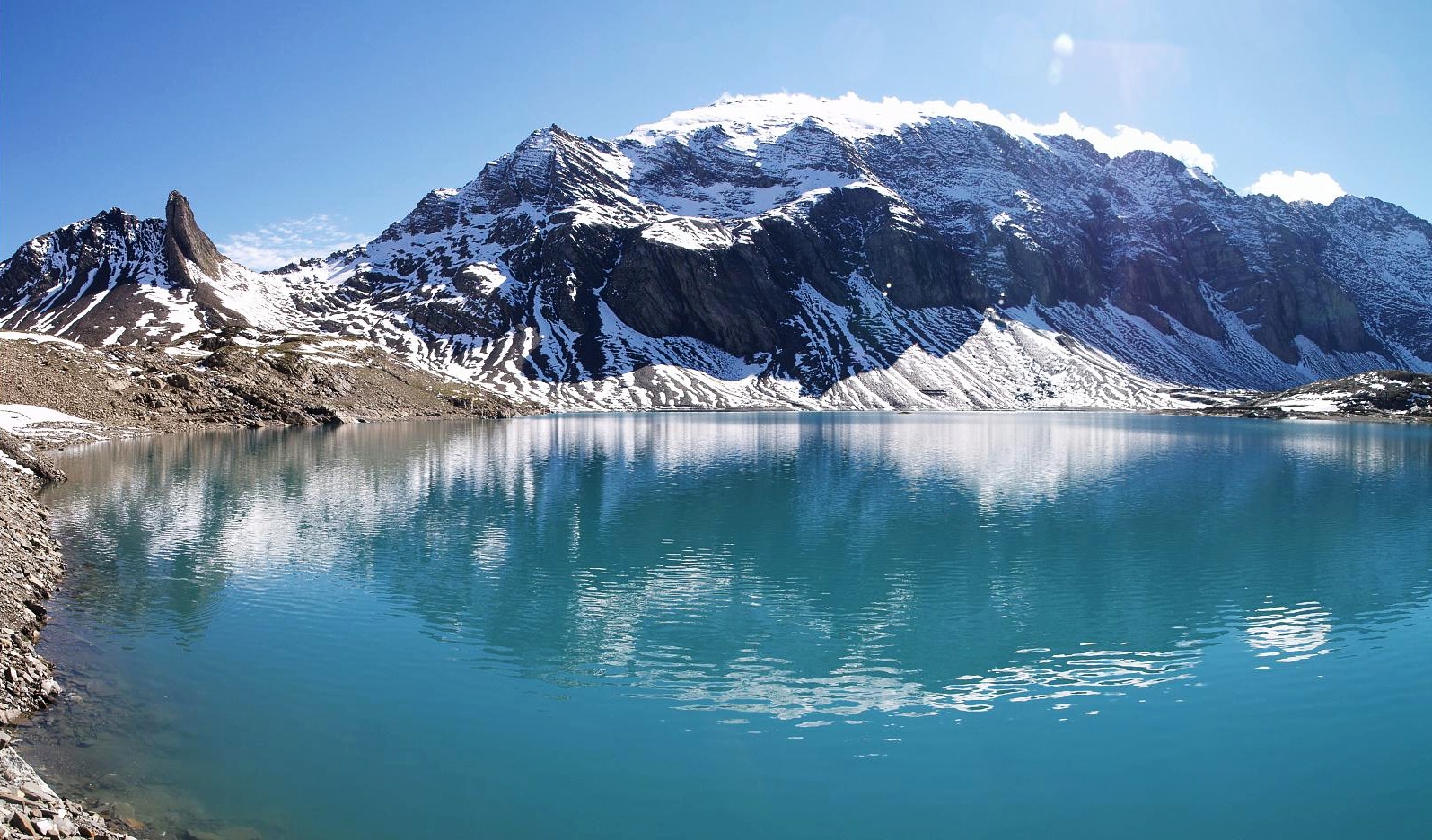 RuchiSummitPhoto: Wala, CC BY-SA 3.0 (via Wikimedia Commons)1.8 mi
 MuttseehütteHut campingPhoto: Capricorn4049, CC BY-SA 3.0 (via Wikimedia Commons)2.2 mi
 BifertenhütteHut campingPhoto: No machine-readable author provided. Albin35~commonswiki assumed (based on copyright claims)., CC BY-SA 2.5 (via Wikimedia Commons)2.3 mi
- Senda Pass dil VeptgaMountain biking3 mi
 Tödi: Approach to 7,800 ft from the road endHikingPhoto: Carsten Steger, CC BY-SA 4.0 (via Wikimedia Commons)5 mi
Source: Roamze catalog (indexable pages within 10 miles, PostGIS distance)
Plan this with Roamze
Tell Roamze when you're going and who's coming. It plans the days, gear and food around this place.
Map and trail data © OpenStreetMap contributors
