Fuorcla Surlej
- 18.7 mi
- loop
- 4,640 ft
- climb
- Loop
- route
Fuorcla Surlej is a mountain biking loop in the Grisons region of Switzerland, about 2.8 miles from St. Moritz. The route is roughly 18.7 miles long, with a total elevation gain of 4,640 feet and a high point of about 9,046 feet. The climb is a loop, and the route carries both gain and loss, with a total descent of about 2,951 feet. That makes it a full-day ride rather than a short outing, and the high point sits well above the town. The loop passes close to several other destinations. Unterer Schafberg, a hut, and the Senda Munt da la Bês-cha hike are each about 0.8 miles away. Muottas da Schlarigna, a summit, is about a mile off, and TCS Camping Samedan offers camping about 1.6 miles away.
Keep exploring — more rides worth the drive
 Photo: Andreas Faessler, CC BY-SA 3.0 (via Wikimedia Commons)
Piz Nair Trail
~10 min drive
A 1.0-mile mountain bike trail in Grisons, Switzerland.
 Photo: Kecko, CC BY 2.0 (via Wikimedia Commons)
Veja Preda
~15 min drive
An out-and-back mountain bike trail in Grisons, Switzerland.
RIDE
Senda God dals Plauns
~5 min drive
An out-and-back mountain bike trail in Grisons, Switzerland.
RIDE
Clavadatsch
~7 min drive
An out-and-back mountain bike trail in Grisons, Switzerland.
RIDE
Olympia Flow Trail
~7 min drive
An out-and-back mountain bike trail in Grisons, Switzerland.
 Photo: Patrick Nouhailler's…, CC BY-SA 3.0 (via Wikimedia Commons)
Rona Bike
~25 min drive
A 1.8-mile mountain bike trail in Grisons, Switzerland.
RIDE
Marmotta Flow Trail
~7 min drive
An out-and-back mountain bike trail in Grisons, Switzerland.
RIDE
Senda Val dal Fain
~11 min drive
An out-and-back mountain bike trail in Grisons, Switzerland.
RIDE
Val Fedoz
~16 min drive
An out-and-back mountain bike trail in Grisons, Switzerland.
RIDE
34 Val Schlattain Trail
~9 min drive
An out-and-back mountain bike trail in Grisons, Switzerland.
Also worth it near here
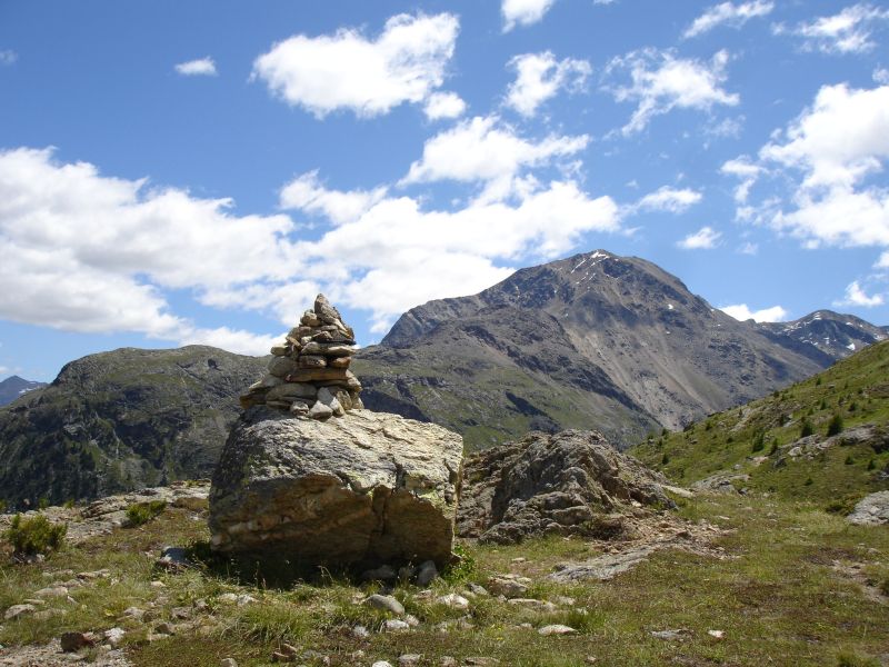 Photo: schoella, CC BY 3.0 (via Wikimedia Commons)
Muottas da Schlarigna
~2 min drive
 Photo: Capricorn4049, CC BY-SA 4.0 (via Wikimedia Commons)
Senda da las Sours
~2 min drive
 Photo: Tiia Monto, CC BY-SA 3.0 (via Wikimedia Commons)
Vietta Alp da Staz
~2 min drive
 Photo: Patrick Nouhailler's…, CC BY-SA 3.0 (via Wikimedia Commons)
Campingplatz Morteratsch
~5 min drive
 Photo: Capricorn4049, CC BY-SA 4.0 (via Wikimedia Commons)
Chamanna Georgy
~5 min drive
Conditions and forecast
Daily highs and lows, wind and the chance of precipitation at Fuorcla Surlej for the next 7 days, from the Open-Meteo model.
Map and trail data © OpenStreetMap contributors
