Paznauner Höhenweg Etappe 3
- 3.9 mi
- one way
- 1,916 ft
- climb
- 8,883 ft
- high point
- Point to point
- route
Paznauner Höhenweg Etappe 3 is a 3.9-mile point-to-point hike in Grisons, Switzerland, with a high point of 8,883 feet. It is a hard route, and the climb totals 1,916 feet of gain over the course of the trip, which also includes about 2,000 feet of descent. The nearest town is Compatsch, about 2 miles away. The route is a single stretch rather than a loop, and the figures given are for the full trip from start to finish. Wanderweg 712 runs just 0.1 mile from the start, and the Visnitzkopf summit sits about 0.7 mile away. Within about 2 miles are the Flimspitze summit and the Fließer Stieralphütte hut, both of which make good additions to a day on the trail.
Keep exploring — more trails worth the drive
 Photo: Rene Nueesch, CC BY 3.0 (via Wikimedia Commons)
Senda Scuol-Samnaun
~6 min drive
A 22-mile point-to-point route in Grisons, Switzerland.
 Photo: Braveheart, CC BY-SA 4.0 (via Wikimedia Commons)
Naturthemenweg Fisser Gonde
~18 min drive
A 0.7-mile point-to-point route in Tyrol, Austria.
 Photo: qwesy qwesy, CC BY 3.0 (via Wikimedia Commons)
Senda d'aventüra e culturala Puntins Ots Uina
~21 min drive
An out-and-back trail, 0.7 miles each way (1.4 miles round trip) in Grisons, Switzerland.
HIKE
Forstmeile
~12 min drive
An out-and-back trail, 0.5 miles each way (1.0 miles round trip) in Tyrol, Austria.
HIKE
Notabstieg
~22 min drive
An out-and-back trail, 0.4 miles each way (0.8 miles round trip) in Tyrol, Austria.
 Photo: Tannhuser, CC BY-SA 3.0 (via Wikimedia Commons)
Schwarzer See Rundweg
~16 min drive
An out-and-back trail, 0.3 miles each way (0.7 miles round trip) in Tyrol, Austria.
HIKE
Murmeltiersteig
~14 min drive
A 0.5-mile point-to-point route in Tyrol, Austria.
HIKE
Weitwanderweg 713
~9 min drive
A 0.6-mile point-to-point route in Tyrol, Austria.
HIKE
Paznauner Höhenweg Etappe 7
~14 min drive
A 1.8-mile point-to-point route in Tyrol, Austria.
HIKE
Waalweg
~11 min drive
An out-and-back trail, 0.4 miles each way (0.8 miles round trip) in Tyrol, Austria.
Also worth it near here
 Photo: Rene Nueesch, CC BY 3.0 (via Wikimedia Commons)
Visnitzkopf
~1 min drive
 Photo: Thomas Dahlstrøm Nielsen, CC BY 4.0 (via Wikimedia Commons)
Singletrail Flimjoch
~4 min drive
SEE
Visnitzer Wasserfall
~8 min drive
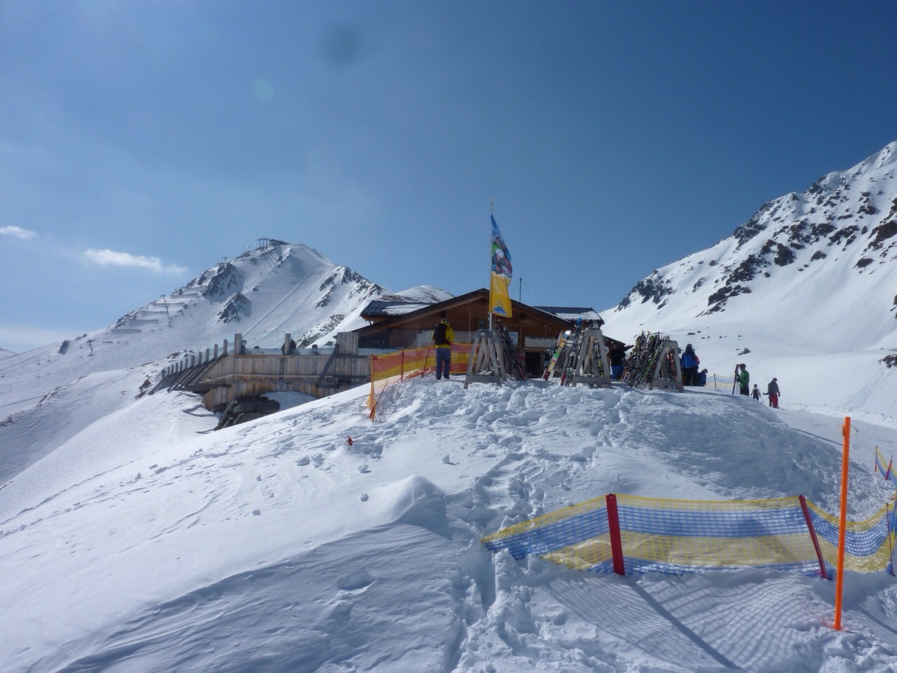 Photo: Root5.5, CC BY-SA 3.0 (via Wikimedia Commons)
Hexenseehütte
~9 min drive
BED
Camping Via Claudiasee Pfunds
~11 min drive
Conditions and forecast
Daily highs and lows, wind and the chance of precipitation at Paznauner Höhenweg Etappe 3 for the next 7 days, from the Open-Meteo model.
Map and trail data © OpenStreetMap contributors
