Camping Splügen
A campground in Grisons, Switzerland.
 Photo: Adrian Michael, CC BY-SA 3.0 (via Wikimedia Commons)
- At 4,801 ft
Camping Splügen is a campground in Grisons, Switzerland, at about 4,800 ft above sea level. It is inside Naturpark Beverin. OpenStreetMap lists drinking water. Camping here is paid. Trails within about a mile include Via Spluga, Schollaalp and Alpenpässe-Weg. The nearest town is Splügen, about 0.5 miles southwest of the campground. Peaks within about 3 miles include Fluagrind, Tanatzhöhi and Schafsitachopf. For camping, Bodhi Camping is within about 6 miles. The location and elevation come from OpenStreetMap and the Copernicus 90 m elevation model. Check local access rules and conditions before you go.
Keep exploring — more campsites worth the drive
 Photo: Jag9889, CC BY-SA 4.0 (via Wikimedia Commons)
Rania
~16 min drive
A campground in Grisons, Switzerland.
 Photo: Gianluca Moroni, CC BY-SA 1.0 (via Wikimedia Commons)
Rifugio Chiavenna
~19 min drive
A mountain hut in Lombardy, Italy.
 Photo: Capricorn4049, CC BY-SA 4.0 (via Wikimedia Commons)
Cröt Sägeplatz
~17 min drive
A campground in Grisons, Switzerland.
 Photo: Franco Pecchio from Milano, Italy, CC BY 2.0 (via Wikimedia Commons)
Rifugio Pian Grand
~20 min drive
An unstaffed wilderness hut in Grisons, Switzerland.
 Photo: Jag9889, CC BY-SA 4.0 (via Wikimedia Commons)
TCS Camping Thusis Viamala
~21 min drive
A campground in Grisons, Switzerland.
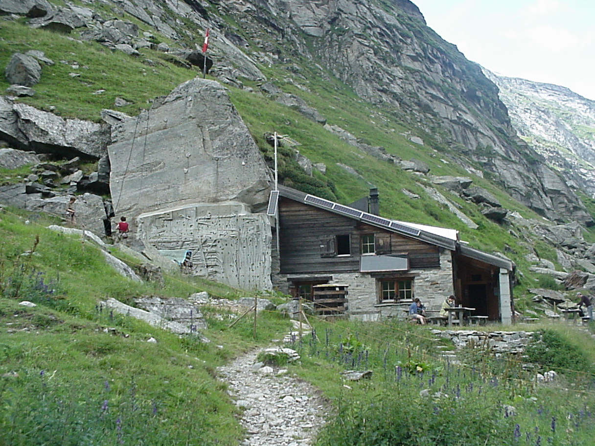 Photo: Whgler, CC BY-SA 3.0 (via Wikimedia Commons)
Läntahütte SAC
~22 min drive
A mountain hut in Grisons, Switzerland.
 Photo: Jag9889, CC BY-SA 4.0 (via Wikimedia Commons)
Camping Cumpogna Tiefencastel
~25 min drive
A campground in Grisons, Switzerland.
 Photo: Paebi, CC BY-SA 3.0 (via Wikimedia Commons)
Capanna Quarnei
~25 min drive
A mountain hut in Ticino, Switzerland.
 Photo: Jag9889, CC BY-SA 4.0 (via Wikimedia Commons)
Campingplatz Rona
~25 min drive
A campground in Grisons, Switzerland.
Seehütte
~3 min drive
An unstaffed wilderness hut in Grisons, Switzerland.
Also worth it near here
 Photo: Adrian Michael, CC BY 3.0 (via Wikimedia Commons)
Surettasee - Surettaluckli North
~3 min drive
 Photo: Capricorn4049, CC BY-SA 4.0 (via Wikimedia Commons)
Guggernüll
~5 min drive
 Photo: Jag9889, CC BY-SA 4.0 (via Wikimedia Commons)
Schöna Boda
~6 min drive
 Photo: Juri Kowski, CC BY-SA 3.0 (via Wikimedia Commons)
Montespluga - Tambo'
~7 min drive
Cascata del Suretta
~7 min drive
Conditions and forecast
Daily highs and lows, wind and the chance of precipitation at Camping Splügen for the next 7 days, from the Open-Meteo model.
Map and trail data © OpenStreetMap contributors
