Hürnberg
- 3,018 ft
- summit
Hürnberg is a mountain in Bern, Switzerland, with its summit at about 3,020 ft (920 m) above sea level. Mapped trails that come within about half a mile of the top include Alpenpanorama-Weg. The nearest town is Hürnberg, about 0.6 miles east of the summit. Peaks within about 3 miles include Änggist, Leenhubel and Spitze Chnubel. Administratively, it is in Bern-Mittelland administrative district. These details come from Wikidata. In a typical July, the warmest month, highs reach about 69°F (21°C) and lows about 52°F (11°C); in January, the coldest, highs are about 37°F (3°C) and lows about 22°F (-5°C). Precipitation falls on about 19 days in May, the wettest month, and about 14 days in January, the driest. These typical figures for 1981–2010 come from the CHELSA 1 km climate model and CRU TS 4.09. The location and elevation come from OpenStreetMap and the Copernicus 90 m elevation model. Check local access rules and conditions before you go.
Conditions and forecast
Daily highs and lows, wind and the chance of precipitation at the summit for the next 7 days, from the Open-Meteo model.
- Summit elevation
- 3,018 ft
We don't know of a mapped trail or route to the summit of Hürnberg. Plan the approach with local maps, a guidebook or a local guide, and check conditions before you go.
Questions about Hürnberg
How tall is Hürnberg?
3,018 ft (920 m).
Is there a trail to the top of Hürnberg?
We don't know of a mapped trail or route to the summit. Plan the approach with local maps, a guidebook or a local guide.
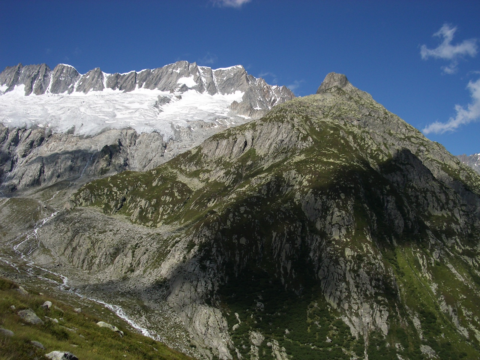
 Jungfrau13,642 ft · Valais, Switzerland1 route30 mi awayPhoto: Daniel Reust, CC BY-SA 4.0 (via Wikimedia Commons)
 Dammastock11,909 ft · Uri, Switzerland1 route42 mi awayPhoto: Paebi, CC BY-SA 3.0 (via Wikimedia Commons)
 Weisshorn14,780 ft · Valais, Switzerland1 route55 mi awayPhoto: Christian David, CC BY-SA 4.0 (via Wikimedia Commons)
 Weissmies13,166 ft · Valais, Switzerland1 route56 mi awayPhoto: Michael Schmid, CC BY-SA 3.0 (via Wikimedia Commons)
 Dom14,915 ft · Valais, Switzerland1 route56 mi awayPhoto: Zacharie Grossen, CC BY-SA 3.0 (via Wikimedia Commons)
 Dent Blanche14,295 ft · Valais, Switzerland1 route59 mi awayPhoto: Carsten Steger, CC BY-SA 4.0 (via Wikimedia Commons)
- Alpenpanorama-WegHiking2.3 mi
- ZäziLoopMountain biking2.5 mi
 WorbbergSummitPhoto: Pududuss, CC BY-SA 4.0 (via Wikimedia Commons)3.3 mi
- ViaBerna Etappe 9Hiking4.4 mi
 BelpbergSummitPhoto: Sandstein, CC BY 3.0 (via Wikimedia Commons)4.7 mi
- Berner Aare KanuCanoeing6.7 mi
 Camping EichholzCampingPhoto: Vmicho, CC0 (via Wikimedia Commons)8 mi
- Dream ValleyCamping8.6 mi
Source: Roamze catalog (indexable pages within 10 miles, PostGIS distance)
Map and trail data © OpenStreetMap contributors
