Chrummenfadenflüe
- 6,798 ft
- summit
Chrummenfadenflüe is a mountain in Bern, Switzerland, with its summit at about 6,800 ft (2,072 m) above sea level. No mapped trail reaches the top in OpenStreetMap, so plan the approach with local maps or a guide. The nearest town is Blumenstein, about 3.3 miles southwest of the summit. Peaks within about 3 miles include Gustispitz, Chrummfadeflue and Nünenenflue. Gürbefall and Fallbach I are within about 3 miles. For camping, Dür's Bächli and Campingplatz Blumenstein are within about 6 miles. In a typical July, the warmest month, highs reach about 59°F (15°C) and lows about 41°F (5°C); in January, the coldest, highs are about 27°F (-3°C) and lows about 12°F (-11°C). Precipitation falls on about 18 days in May, the wettest month, and about 13 days in February, the driest. These typical figures for 1981–2010 come from the CHELSA 1 km climate model and CRU TS 4.09. The location and elevation come from OpenStreetMap and the Copernicus 90 m elevation model. Check local access rules and conditions before you go.
Conditions and forecast
Daily highs and lows, wind and the chance of precipitation at the summit for the next 7 days, from the Open-Meteo model.
- Summit elevation
- 6,798 ft
We don't know of a mapped trail or route to the summit of Chrummenfadenflüe. Plan the approach with local maps, a guidebook or a local guide, and check conditions before you go.
Questions about Chrummenfadenflüe
How tall is Chrummenfadenflüe?
6,798 ft (2,072 m).
Is there a trail to the top of Chrummenfadenflüe?
We don't know of a mapped trail or route to the summit. Plan the approach with local maps, a guidebook or a local guide.
 Jungfrau13,642 ft · Valais, Switzerland1 route26 mi awayPhoto: Daniel Reust, CC BY-SA 4.0 (via Wikimedia Commons)
 Weisshorn14,780 ft · Valais, Switzerland1 route43 mi awayPhoto: Christian David, CC BY-SA 4.0 (via Wikimedia Commons)
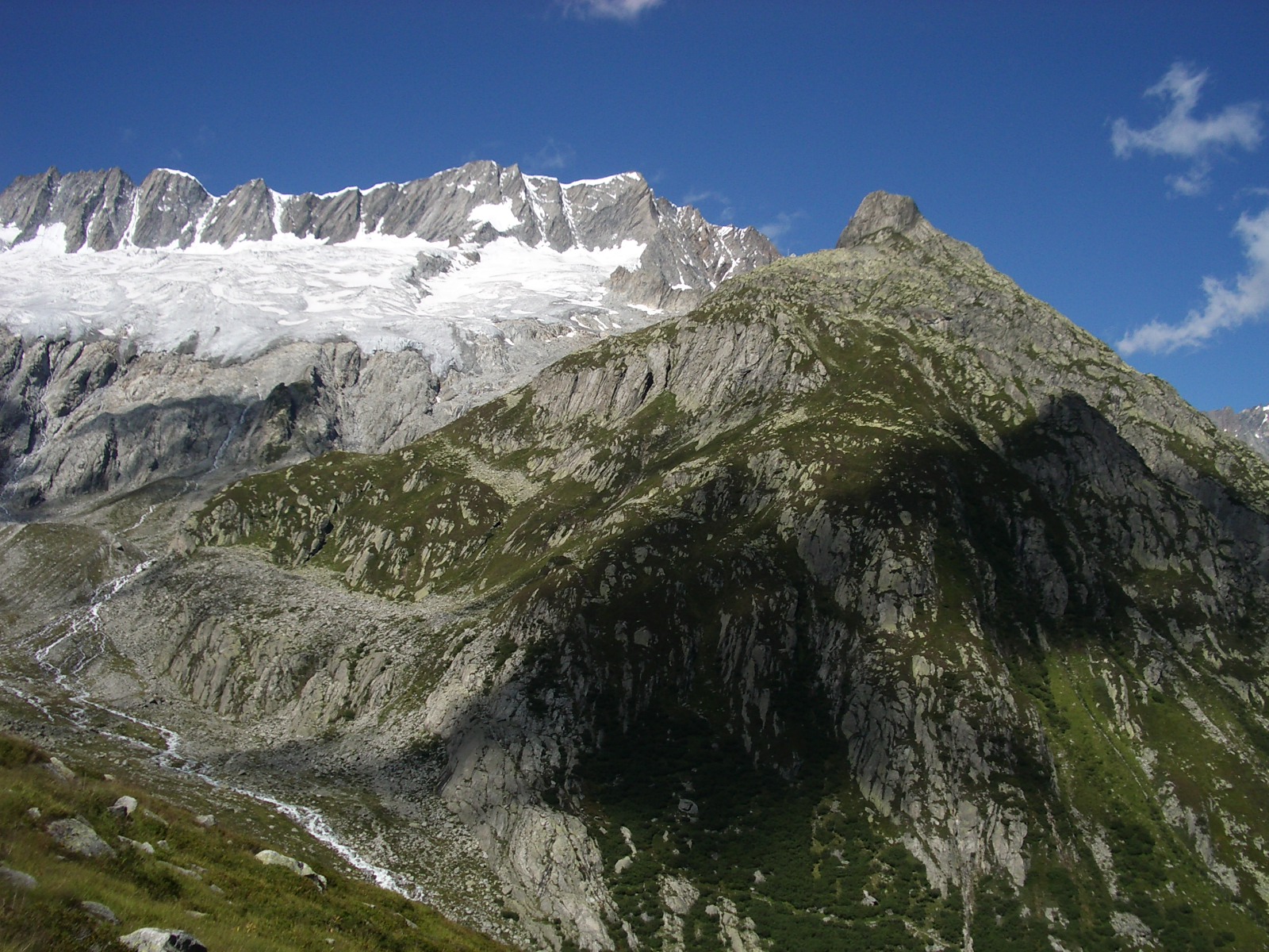 Dammastock11,909 ft · Uri, Switzerland1 route45 mi awayPhoto: Paebi, CC BY-SA 3.0 (via Wikimedia Commons)
 Dom14,915 ft · Valais, Switzerland1 route46 mi awayPhoto: Zacharie Grossen, CC BY-SA 3.0 (via Wikimedia Commons)
 Dent Blanche14,295 ft · Valais, Switzerland1 route47 mi awayPhoto: Carsten Steger, CC BY-SA 4.0 (via Wikimedia Commons)
 Weissmies13,166 ft · Valais, Switzerland1 route48 mi awayPhoto: Michael Schmid, CC BY-SA 3.0 (via Wikimedia Commons)
 NünenenflueSummitPhoto: Arkelin, CC BY 4.0 (via Wikimedia Commons)0.5 mi
 Alp OberwirtnerenHut campingPhoto: Arkelin, CC BY 4.0 (via Wikimedia Commons)0.9 mi
 TschingelflueSummitPhoto: Arkelin, CC BY 4.0 (via Wikimedia Commons)1 mi
 Untere GantrischhütteHut campingPhoto: Arkelin, CC BY 4.0 (via Wikimedia Commons)1.7 mi
- Pont suspendu a Weissenburg Bad, BE.Hiking2.4 mi
- BättelwägliHiking2.7 mi
 Naturpark GantrischState parkPhoto: Bernskbarn, CC BY-SA 3.0 (via Wikimedia Commons)5 mi
- Berner Aare KanuCanoeing8.1 mi
Source: Roamze catalog (indexable pages within 10 miles, PostGIS distance)
Map and trail data © OpenStreetMap contributors
