Bürgle
 Photo: H.sch.57, CC BY 4.0 (via Wikimedia Commons)
- 7,103 ft
- summit
Bürgle is a mountain in Bern, Switzerland, with its summit at about 7,100 ft (2,165 m) above sea level. No mapped trail reaches the top in OpenStreetMap, so plan the approach with local maps or a guide. The nearest town is Oberwil im Simmental, about 3.2 miles north of the summit. Peaks within about 3 miles include Chummlispitz, Gemsflue and Birehubel. Gürbefall is within about 3 miles. For camping, Dür's Bächli and Campingplatz Blumenstein are within about 6 miles. Administratively, it is in Bern-Mittelland administrative district. These details come from Wikidata. The location and elevation come from OpenStreetMap and the Copernicus 90 m elevation model. Check local access rules and conditions before you go.
Conditions and forecast
Daily highs and lows, wind and the chance of precipitation at the summit for the next 7 days, from the Open-Meteo model.
- Summit elevation
- 7,103 ft
We don't know of a mapped trail or route to the summit of Bürgle. Plan the approach with local maps, a guidebook or a local guide, and check conditions before you go.
Questions about Bürgle
How tall is Bürgle?
7,103 ft (2,165 m).
Is there a trail to the top of Bürgle?
We don't know of a mapped trail or route to the summit. Plan the approach with local maps, a guidebook or a local guide.
 Jungfrau13,642 ft · Valais, Switzerland1 route28 mi awayPhoto: Daniel Reust, CC BY-SA 4.0 (via Wikimedia Commons)
 Weisshorn14,780 ft · Valais, Switzerland1 route44 mi awayPhoto: Christian David, CC BY-SA 4.0 (via Wikimedia Commons)
 Dom14,915 ft · Valais, Switzerland1 route47 mi awayPhoto: Zacharie Grossen, CC BY-SA 3.0 (via Wikimedia Commons)
 Dent Blanche14,295 ft · Valais, Switzerland1 route47 mi awayPhoto: Carsten Steger, CC BY-SA 4.0 (via Wikimedia Commons)
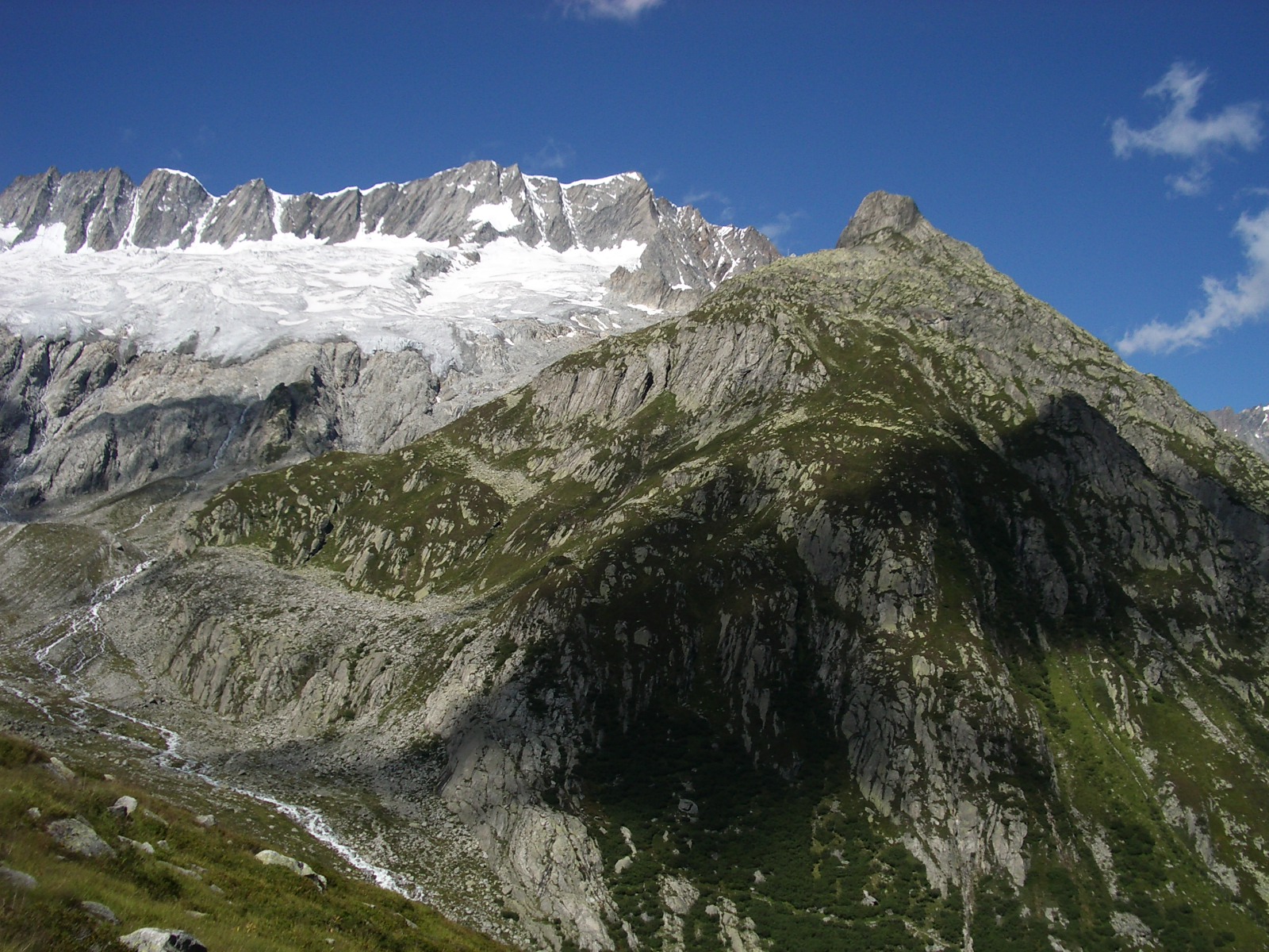 Dammastock11,909 ft · Uri, Switzerland1 route47 mi awayPhoto: Paebi, CC BY-SA 3.0 (via Wikimedia Commons)
 Weissmies13,166 ft · Valais, Switzerland1 route48 mi awayPhoto: Michael Schmid, CC BY-SA 3.0 (via Wikimedia Commons)
 BirehubelSummitPhoto: Ginkgo2g, CC BY-SA 3.0 (via Wikimedia Commons)0.6 mi
 OchsenSummitPhoto: Marianabeauty, CC BY-SA 4.0 (via Wikimedia Commons)0.7 mi
 Untere GantrischhütteHut campingPhoto: Arkelin, CC BY 4.0 (via Wikimedia Commons)1.1 mi
- BergheimHut camping1.7 mi
- Pont suspendu a Weissenburg Bad, BE.Hiking2.5 mi
 Naturpark GantrischState parkPhoto: Bernskbarn, CC BY-SA 3.0 (via Wikimedia Commons)4.7 mi
- SimmeCanoeing7.5 mi
 Wasserfall SchwarzseeWaterfallPhoto: gertrudis2010, CC BY-SA 3.0 (via Wikimedia Commons)8.4 mi
Source: Roamze catalog (indexable pages within 10 miles, PostGIS distance)
- BirehubelSummit · ~1 min drivePhoto: Ginkgo2g, CC BY-SA 3.0 (via Wikimedia Commons)
- OchsenSummit · ~1 min drivePhoto: Marianabeauty, CC BY-SA 4.0 (via Wikimedia Commons)
 GantrischSummit · ~2 min drivePhoto: Patric Zbinden, Public domain (via Wikimedia Commons)
 NünenenflueSummit · ~2 min drivePhoto: Arkelin, CC BY 4.0 (via Wikimedia Commons)
 TschingelflueSummit · ~3 min drivePhoto: Arkelin, CC BY 4.0 (via Wikimedia Commons)
 SchibeSummit · ~5 min drivePhoto: Björn S..., CC BY-SA 2.0 (via Wikimedia Commons)
- ChummlispitzSummit · Next door
- GemsflueSummit · Next door
- Chline OchseSummit · ~1 min drive
- SchibenspitzSummit · ~1 min drive
Map and trail data © OpenStreetMap contributors
