Mountains in Basel-Landschaft
173 mountains and 41 routes in Basel-Landschaft, Switzerland, each with its own page: heights, seasons, and every way to the top we have mapped.
Mountains
 Hinteri Egg3,835 ft · Basel-Landschaft, SwitzerlandPhoto: DasPumm, CC0 (via Wikimedia Commons)
- Schattberg3,825 ft · Basel-Landschaft, Switzerland
- Chellenchöpfli3,758 ft · Basel-Landschaft, Switzerland
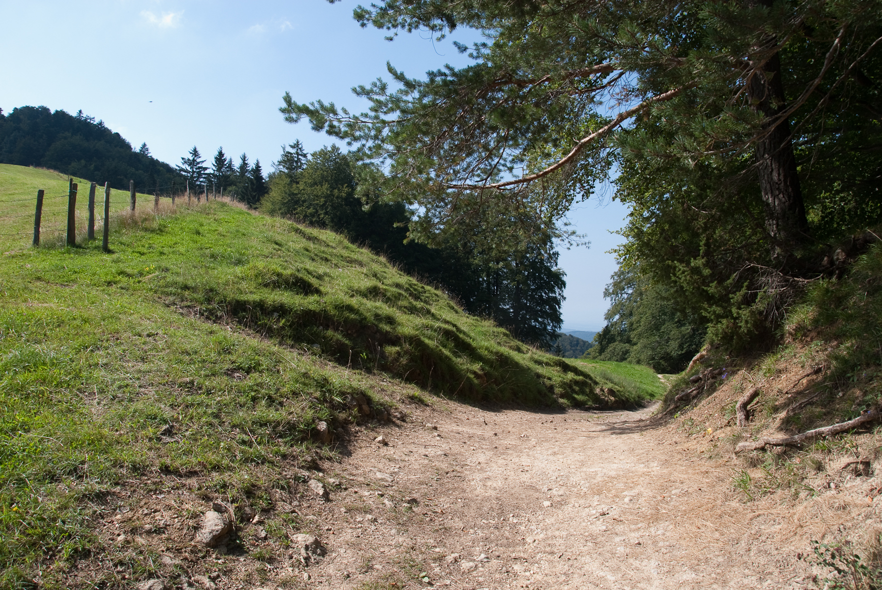 Geitenberg3,720 ft · Basel-Landschaft, SwitzerlandPhoto: BLS208, CC BY-SA 3.0 (via Wikimedia Commons)
- Vorderi Egg3,543 ft · Basel-Landschaft, Switzerland
- Schellenberg3,484 ft · Basel-Landschaft, Switzerland
- Ämmenegg3,451 ft · Basel-Landschaft, Switzerland
 Lauchflue3,419 ft · Basel-Landschaft, SwitzerlandPhoto: Pududuss, CC BY-SA 4.0 (via Wikimedia Commons)
- Änziane3,419 ft · Basel-Landschaft, Switzerland
- Hundsmattrücken3,406 ft · Basel-Landschaft, Switzerland
- Dürstelberg3,402 ft · Basel-Landschaft, Switzerland
- Schneelochberg3,386 ft · Basel-Landschaft, Switzerland
- Schattholz3,379 ft · Basel-Landschaft, Switzerland
- Ankenballen3,356 ft · Basel-Landschaft, Switzerland
 Rehhag3,340 ft · Basel-Landschaft, SwitzerlandPhoto: Pududuss, CC BY-SA 4.0 (via Wikimedia Commons)
- Höchi Stell3,337 ft · Basel-Landschaft, Switzerland
- Riedbergchopf3,317 ft · Basel-Landschaft, Switzerland
- Humbelbergli3,284 ft · Basel-Landschaft, Switzerland
 Wisenberg3,284 ft · Basel-Landschaft, SwitzerlandPhoto: Jörg Braukmann, CC BY-SA 4.0 (via Wikimedia Commons)
- Bürten3,271 ft · Basel-Landschaft, Switzerland
- Erzenberg3,219 ft · Basel-Landschaft, Switzerland
- Schwängiflüeli3,212 ft · Basel-Landschaft, Switzerland
- Ifleter Berg3,162 ft · Basel-Landschaft, Switzerland
- Aletenchopf3,159 ft · Basel-Landschaft, Switzerland
- Rundackerkopf3,146 ft · Basel-Landschaft, Switzerland
- Humbelchöpfli3,127 ft · Basel-Landschaft, Switzerland
- Steinenberg3,084 ft · Basel-Landschaft, Switzerland
- Leutscheberg3,045 ft · Basel-Landschaft, Switzerland
 Chräiegg3,038 ft · Basel-Landschaft, SwitzerlandPhoto: Pududuss, CC BY-SA 4.0 (via Wikimedia Commons)
 Leutschenberg3,035 ft · Basel-Landschaft, SwitzerlandPhoto: Arkelin, CC BY 4.0 (via Wikimedia Commons)
- Holznechhübel3,022 ft · Basel-Landschaft, Switzerland
- Walten2,995 ft · Basel-Landschaft, Switzerland
 Schöntalflue2,982 ft · Basel-Landschaft, SwitzerlandPhoto: Arkelin, CC BY 4.0 (via Wikimedia Commons)
- Gagsen2,972 ft · Basel-Landschaft, Switzerland
- Gerstelflue2,953 ft · Basel-Landschaft, Switzerland
- Brang2,933 ft · Basel-Landschaft, Switzerland
- Hohi Stelli2,930 ft · Basel-Landschaft, Switzerland
- Birchhöhe2,930 ft · Basel-Landschaft, Switzerland
- Gaissrain2,923 ft · Basel-Landschaft, Switzerland
- Studeflue2,861 ft · Basel-Landschaft, Switzerland
- Hinter Rängge2,805 ft · Basel-Landschaft, Switzerland
- Sodholden2,799 ft · Basel-Landschaft, Switzerland
- Ängiberg2,792 ft · Basel-Landschaft, Switzerland
- Schlossberg2,785 ft · Basel-Landschaft, Switzerland
- Horniberg2,743 ft · Basel-Landschaft, Switzerland
 Isenflue2,736 ft · Basel-Landschaft, SwitzerlandPhoto: Arkelin, CC BY 4.0 (via Wikimedia Commons)
- Winterhalde2,723 ft · Basel-Landschaft, Switzerland
- Spitzebüehlberg2,680 ft · Basel-Landschaft, Switzerland
- Dünnlenberg2,677 ft · Basel-Landschaft, Switzerland
- Balsberg2,667 ft · Basel-Landschaft, Switzerland
- Hau2,657 ft · Basel-Landschaft, Switzerland
- Forstberg2,654 ft · Basel-Landschaft, Switzerland
- Dielenberg2,638 ft · Basel-Landschaft, Switzerland
- Binzenberg2,635 ft · Basel-Landschaft, Switzerland
- Spitzeflüeli2,635 ft · Basel-Landschaft, Switzerland
- Horneberg2,628 ft · Basel-Landschaft, Switzerland
- Fürbergsegg2,615 ft · Basel-Landschaft, Switzerland
- Dielenbergflue2,612 ft · Basel-Landschaft, Switzerland
- Dottlenberg2,605 ft · Basel-Landschaft, Switzerland
- Homberg Flue2,592 ft · Basel-Landschaft, Switzerland
- Chienberg2,589 ft · Basel-Landschaft, Switzerland
- Schanz2,589 ft · Basel-Landschaft, Switzerland
 Sodchopf2,575 ft · Basel-Landschaft, SwitzerlandPhoto: Arkelin, CC BY 4.0 (via Wikimedia Commons)
- Rängge2,575 ft · Basel-Landschaft, Switzerland
- Schwanden2,562 ft · Basel-Landschaft, Switzerland
- Schufleberg2,552 ft · Basel-Landschaft, Switzerland
- Baberteflue2,536 ft · Basel-Landschaft, Switzerland
- Egg2,536 ft · Basel-Landschaft, Switzerland
- Wengen2,526 ft · Basel-Landschaft, Switzerland
- Ottmart2,526 ft · Basel-Landschaft, Switzerland
- Stürmechopf2,520 ft · Basel-Landschaft, Switzerland
- Stamberg2,503 ft · Basel-Landschaft, Switzerland
- Farnsberg2,497 ft · Basel-Landschaft, Switzerland
- Räschberg2,467 ft · Basel-Landschaft, Switzerland
- Steinenberg2,467 ft · Basel-Landschaft, Switzerland
- Hasenflüeli2,444 ft · Basel-Landschaft, Switzerland
- Isletenebeni2,431 ft · Basel-Landschaft, Switzerland
- Böckterflue2,428 ft · Basel-Landschaft, Switzerland
- Chastelenflue2,428 ft · Basel-Landschaft, Switzerland
- Bergfluh2,411 ft · Basel-Landschaft, Switzerland
- Horn2,395 ft · Basel-Landschaft, Switzerland
- Rankberg2,392 ft · Basel-Landschaft, Switzerland
- Rickenbacher Flue2,384 ft · Basel-Landschaft, Switzerland
- Ripp2,369 ft · Basel-Landschaft, Switzerland
- Rifenstein2,369 ft · Basel-Landschaft, Switzerland
- Hörnlichopf2,346 ft · Basel-Landschaft, Switzerland
- Deixberg2,323 ft · Basel-Landschaft, Switzerland
- Sandberg2,323 ft · Basel-Landschaft, Switzerland
- Dangerenflue2,310 ft · Basel-Landschaft, Switzerland
- Lonsberg2,303 ft · Basel-Landschaft, Switzerland
- Staufen2,301 ft · Basel-Landschaft, Switzerland
- Birchhübel2,301 ft · Basel-Landschaft, Switzerland
- Kai2,300 ft · Basel-Landschaft, Switzerland
- First2,297 ft · Basel-Landschaft, Switzerland
 Bischofstein2,289 ft · Basel-Landschaft, SwitzerlandPhoto: Tschubby, CC BY-SA 3.0 (via Wikimedia Commons)
- Tannig2,274 ft · Basel-Landschaft, Switzerland
- Burgkopf2,260 ft · Basel-Landschaft, Switzerland
- Hellfels2,258 ft · Basel-Landschaft, Switzerland
- Wintenberg2,257 ft · Basel-Landschaft, Switzerland
- Eggflue2,257 ft · Basel-Landschaft, Switzerland
- Richtiflue2,251 ft · Basel-Landschaft, Switzerland
- Gugger2,251 ft · Basel-Landschaft, Switzerland
- Strick2,251 ft · Basel-Landschaft, Switzerland
- Leisenberg2,247 ft · Basel-Landschaft, Switzerland
- Wischberg2,224 ft · Basel-Landschaft, Switzerland
- Chopfhölzli2,224 ft · Basel-Landschaft, Switzerland
- Roti Flue2,224 ft · Basel-Landschaft, Switzerland
- Richteberg2,224 ft · Basel-Landschaft, Switzerland
- Schauenburgflue2,182 ft · Basel-Landschaft, Switzerland
- Gogel2,178 ft · Basel-Landschaft, Switzerland
- Edlisberg2,175 ft · Basel-Landschaft, Switzerland
- Ringenflüeli2,162 ft · Basel-Landschaft, Switzerland
- Sissacher Flue2,157 ft · Basel-Landschaft, Switzerland
- Schwardchopf2,156 ft · Basel-Landschaft, Switzerland
- Challholle2,136 ft · Basel-Landschaft, Switzerland
- Horn2,123 ft · Basel-Landschaft, Switzerland
- Arlischberg2,106 ft · Basel-Landschaft, Switzerland
- Grosse Sunnenberg2,087 ft · Basel-Landschaft, Switzerland
- Horniflue2,087 ft · Basel-Landschaft, Switzerland
- Blittenchopf2,087 ft · Basel-Landschaft, Switzerland
- Oberg2,087 ft · Basel-Landschaft, Switzerland
- Chuenisberg2,080 ft · Basel-Landschaft, Switzerland
- Bueberg2,077 ft · Basel-Landschaft, Switzerland
- Eilete2,051 ft · Basel-Landschaft, Switzerland
- Halmet2,045 ft · Basel-Landschaft, Switzerland
- Egg2,044 ft · Basel-Landschaft, Switzerland
- Löffelberg2,044 ft · Basel-Landschaft, Switzerland
- Berg2,014 ft · Basel-Landschaft, Switzerland
- Grampelenstock2,008 ft · Basel-Landschaft, Switzerland
- Dumberg2,003 ft · Basel-Landschaft, Switzerland
- Schlegel2,001 ft · Basel-Landschaft, Switzerland
- Spitzenberg1,998 ft · Basel-Landschaft, Switzerland
- Guetisbüel Howacht1,995 ft · Basel-Landschaft, Switzerland
- Tenniker Flue1,995 ft · Basel-Landschaft, Switzerland
- Hintere Ebene1,991 ft · Basel-Landschaft, Switzerland
- Grützenchopf1,988 ft · Basel-Landschaft, Switzerland
- Thürner Flue1,965 ft · Basel-Landschaft, Switzerland
- Schöneberg1,962 ft · Basel-Landschaft, Switzerland
- Grammet1,932 ft · Basel-Landschaft, Switzerland
- Arxchöpfli1,906 ft · Basel-Landschaft, Switzerland
- Ödlisberg1,903 ft · Basel-Landschaft, Switzerland
- Stockenrain1,903 ft · Basel-Landschaft, Switzerland
 Chleine Sunneberg1,900 ft · Basel-Landschaft, SwitzerlandPhoto: Arkelin, CC BY 4.0 (via Wikimedia Commons)
- Ebeni1,896 ft · Basel-Landschaft, Switzerland
- Lindenstock1,873 ft · Basel-Landschaft, Switzerland
- Stälzler1,864 ft · Basel-Landschaft, Switzerland
- Ramsenhübel1,857 ft · Basel-Landschaft, Switzerland
- Önsberg1,847 ft · Basel-Landschaft, Switzerland
- Wuesthübel1,841 ft · Basel-Landschaft, Switzerland
- Wänge1,841 ft · Basel-Landschaft, Switzerland
- Blomd1,808 ft · Basel-Landschaft, Switzerland
- Chleckenberg1,785 ft · Basel-Landschaft, Switzerland
- Imschberg1,785 ft · Basel-Landschaft, Switzerland
- Schoren1,772 ft · Basel-Landschaft, Switzerland
- Landschachenchöpfli1,765 ft · Basel-Landschaft, Switzerland
- Rugen1,759 ft · Basel-Landschaft, Switzerland
- Rütenberg1,755 ft · Basel-Landschaft, Switzerland
- Madlenchöpfli1,752 ft · Basel-Landschaft, Switzerland
- Murenberg1,742 ft · Basel-Landschaft, Switzerland
- Holleberg1,739 ft · Basel-Landschaft, Switzerland
- Kernenweid1,730 ft · Basel-Landschaft, Switzerland
- Buechholz1,716 ft · Basel-Landschaft, Switzerland
- Baholde1,713 ft · Basel-Landschaft, Switzerland
- Ächerlichopf1,693 ft · Basel-Landschaft, Switzerland
- Galmshöchi1,683 ft · Basel-Landschaft, Switzerland
- Öschberg1,667 ft · Basel-Landschaft, Switzerland
- Homberg1,663 ft · Basel-Landschaft, Switzerland
- Rütenechöpfli1,627 ft · Basel-Landschaft, Switzerland
- Spitzenberg1,627 ft · Basel-Landschaft, Switzerland
- Uf Berg1,585 ft · Basel-Landschaft, Switzerland
 Wartenberg1,573 ft · Basel-Landschaft, SwitzerlandPhoto: Domi-schnitz64, CC BY-SA 3.0 (via Wikimedia Commons)
- Gotschberg1,476 ft · Basel-Landschaft, Switzerland
- Pfaffenberg1,444 ft · Basel-Landschaft, Switzerland
Routes that start here
- AletenwegEasy · 1.3 mi round trip · 554 ft gain
- Alte Mühle
- Altrhein Wyhlen
- Blackberry Bike TrailModerate · 1.1 mi round trip · 405 ft gain
- Blauen-KammwegModerate · 4.2 mi round trip · 1,177 ft gain
- Camping und Schwimmbad am Rhein
- Camping Waldhort Reinach
- Campingatz Rank
- Campingplatz Talhaus
- Chilpen
- ChlauswegEasy · 1.1 mi round trip · 321 ft gain
- Chlus
- GeisswegEasy · 3.8 mi round trip · 3,366 ft gain
- HalmetebenewegEasy · 1.2 mi round trip · 561 ft gain
- HalmetwegEasy · 1.7 mi round trip · 805 ft gain
- HüenersädelEasy · 0.6 mi · 647 ft gain
- Hülftenfall
- Isletenhütte
- JägerwägliModerate · 0.7 mi · 503 ft gain
- KaminwegEasy · 1.1 mi round trip · 252 ft gain
- Kesselfall
- Kilchberger Giessen
- Oberer ChüllerwegModerate · 1.1 mi round trip · 805 ft gain
- Oberer SchlittliwegEasy · 0.4 mi · 34 ft gain
- Rünenberger Giessen
- Rütifall
- SAC Waldweid
- SAC-Hütte Waldweid
- Schelmenloch-Wasserfall
- SchöffletenwegEasy · 1.0 mi round trip · 354 ft gain
- Sentier de Découverte de HegenheimEasy · 1.4 mi round trip · 154 ft gain
- Sormattfall
- Steinebrückli
- Sunneberg 4 WegEasy · 1.4 mi round trip · 466 ft gain
- Sunneberg 6 WegEasy · 1.9 mi round trip · 757 ft gain
- Teufels-ChuchiHard · 0.9 mi round trip · 500 ft gain
- Unterer SchlittliwegEasy · 0.9 mi · 769 ft gain
- ViaSurprise - Etappe 26.5 mi · 1,917 ft gain
- Wasserfall Laufen
- Wasserfall Wasserflue
- Weigistbach-Wasserfall
