Pic de la Tête de chien
- 1,903 ft
- summit
- Société des établissements de plein air du Québec
- managed by
Pic de la Tête de chien is a mountain in Quebec, Canada, with its summit at about 1,900 ft (580 m) above sea level. It stands inside Parc National des Monts-Valin. Mapped trails that come within about half a mile of the top include Sentier des Pics. The nearest town is Saint-Fulgence, about 9.9 miles north of the summit. Peaks within about 3 miles include Pic du Grand Corbeau and Pic de la Hutte. For camping, L'Eau vive and Le septentrional are within about 6 miles. The location and elevation come from OpenStreetMap and the Copernicus 90 m elevation model. Check local access rules and conditions before you go.
Conditions and forecast
Daily highs and lows, wind and the chance of precipitation at the summit for the next 7 days, from the Open-Meteo model.
- Summit elevation
- 1,903 ft
- Land manager
- Société des établissements de plein air du Québec
We don't know of a mapped trail or route to the summit of Pic de la Tête de chien. Plan the approach with local maps, a guidebook or a local guide, and check conditions before you go.
Questions about Pic de la Tête de chien
How tall is Pic de la Tête de chien?
1,903 ft (580 m).
Is there a trail to the top of Pic de la Tête de chien?
We don't know of a mapped trail or route to the summit. Plan the approach with local maps, a guidebook or a local guide.
 Mont ValinSummit · ~5 min drivePhoto: hebdromadaires, CC BY-SA 2.0 (via Wikimedia Commons)
 Mont BéluSummit · ~32 min drivePhoto: Adqproductions, CC BY-SA 3.0 (via Wikimedia Commons)
 Mont FortinSummit · ~35 min drivePhoto: YoungNachos, CC BY-SA 4.0 (via Wikimedia Commons)
 Mont JacobSummit · ~39 min drivePhoto: Adqproductions, CC BY-SA 3.0 (via Wikimedia Commons)
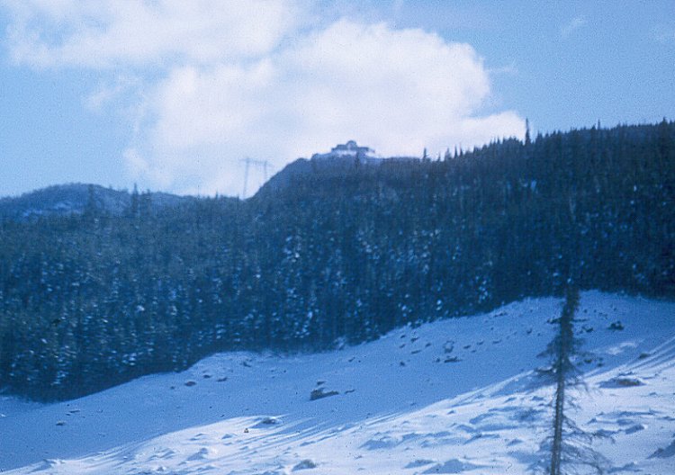 Mont ApicaSummit · ~1h 26m drivePhoto: Rommor, Public domain (via Wikimedia Commons)
- Pic du Grand CorbeauSummit · Next door
- Pic de la HutteSummit · ~1 min drive
- Mont Victor-TremblaySummit · ~7 min drive
- Le Dos de ChevalSummit · ~14 min drive
- Montagne du PinSummit · ~17 min drive
Also worth it near here
 Le FantômeHut camping · ~5 min drivePhoto: Cephas, CC BY-SA 4.0 (via Wikimedia Commons)
 Marina SaguenayBoat launch · ~25 min drivePhoto: 0x010C, CC BY-SA 4.0 (via Wikimedia Commons)
 Plage de la zone portuaire de ChicoutimiBeach · ~25 min drivePhoto: 0x010C, CC BY-SA 4.0 (via Wikimedia Commons)
 Sentier des Moulins EstHiking · ~27 min drivePhoto: 0x010C, CC BY-SA 4.0 (via Wikimedia Commons)
- Chutes à MartelWaterfall · ~30 min drive
Map and trail data © OpenStreetMap contributors
