Piste Île Notre-Dame
- 3.5 mi
- loop
- 329 ft
- climb
- 62 ft
- high point
- Loop
- route
- Apr–Oct
- best months
Piste Île Notre-Dame is a 3.5-mile cross-country ski trail that makes a loop in Quebec, Canada. It stays at about 60 ft above sea level and is close to flat. It is mapped as an easy route. It is groomed for classic skiing. The nearest town is Saint-Lambert, about 1.1 miles northwest of the start. Peaks within about 3 miles include Mont Boullé, Mont Champlain and Mont-Royal. Distances, elevations and the trail shape here come from OpenStreetMap and the Copernicus 90 m elevation model. Grooming and snow conditions change daily, so check the local trail report before you go.
- Nearby · Sentier des Lacs · Chemin du Lac · Sentier Montérégien - Tronçon difficile
Best time to go · Apr–Oct
Best time to visit Piste Île Notre-Dame
Best months: April–October. Best months have typical highs of 55–85 °F, lows of 30 °F or warmer (32 °F where the station doesn't record snow), at most one snowy day and no more than 12 wet days.
Jan
28° / 10°
Feb
31° / 12°
Mar
41° / 23°
Apr
56° / 36°
May
69° / 47°
Jun
78° / 57°
Jul
82° / 63°
Aug
80° / 60°
Sep
72° / 52°
Oct
59° / 41°
Nov
46° / 31°
Dec
34° / 19°
Typical high / low (°F) and days with rain or snow, 1991–2020. Measured at Chazy, NY, 44.3 mi away at 157 ft. This station doesn't record snowfall. Source: NOAA NCEI U.S. Climate Normals 1991–2020.
Keep exploring — more snow worth the drive
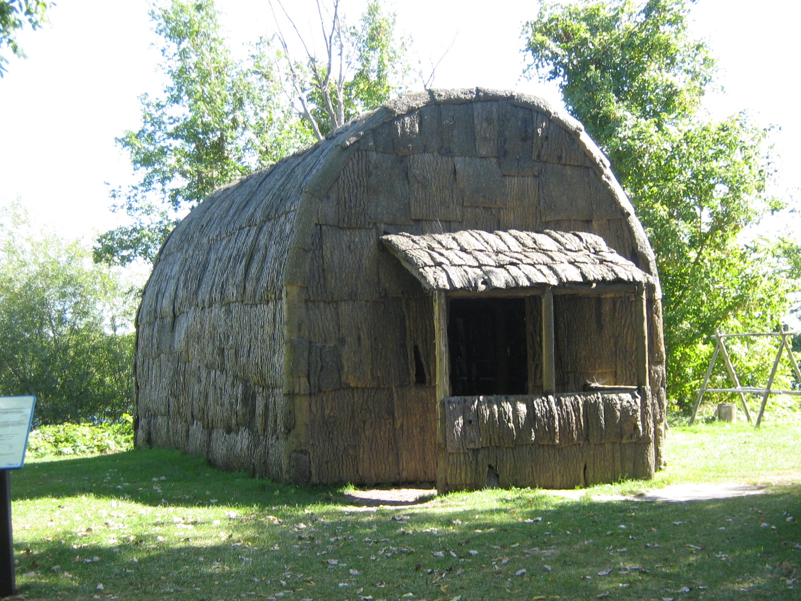
 Photo: Fralambert, CC BY-SA 3.0 (via Wikimedia Commons)
Sentier des Lacs
~17 min drive
An out-and-back cross-country ski trail in Quebec, Canada.
Chemin du Lac
~6 min drive
An out-and-back cross-country ski trail in Quebec, Canada.
Sentier Montérégien - Tronçon difficile
~18 min drive
An out-and-back cross-country ski trail in Quebec, Canada.
Violet
~36 min drive
A 1.9-mile cross-country ski trail that makes a loop in Quebec, Canada.
Chemin Olmsted
~6 min drive
An out-and-back cross-country ski trail in Quebec, Canada.
Route verte 1
~6 min drive
An out-and-back cross-country ski trail in Quebec, Canada.
Rouge
~1h 2m drive
A 2.5-mile cross-country ski trail that makes a loop in Quebec, Canada.
Sentier Littoral
~44 min drive
An out-and-back cross-country ski trail in Quebec, Canada.
Chemin du Lac Seigneurial
~17 min drive
An out-and-back cross-country ski trail in Quebec, Canada.
Trans-Terrebonne Tronçon Expert
~28 min drive
An out-and-back cross-country ski trail in Quebec, Canada.
Also worth it near here


Conditions and forecast
Daily highs and lows, wind and the chance of precipitation at Piste Île Notre-Dame for the next 7 days, from the Open-Meteo model.
Map and trail data © OpenStreetMap contributors
