Rivière Richelieu
 Photo: Veillg1, CC0 (via Wikimedia Commons)
- 29.3 mi
- one way
- 26 ft
- high point
- Point to point
- route
Rivière Richelieu is a 29-mile paddling route in Quebec, Canada. The nearest town is Saint-Ours, about 1.9 miles south of the start. For camping, Camping Domaine de la Paix and Domaine des Erables are within about 6 miles. The route and its length come from OpenStreetMap. River levels, weirs and access points change, so check local conditions and portages before you paddle.
Keep exploring — more water worth the drive
 Photo: Fralambert, CC BY-SA 3.0 (via Wikimedia Commons)
Canal de Chambly
~1h 6m drive
A 9.6-mile paddling route in Quebec, Canada.
Mise a eau Notre Dame De pierreville
~36 min drive
A boat launch in Quebec, Canada.
Sentier Nautique balisé
~42 min drive
A 6.2-mile paddling route in Quebec, Canada.
Descente de bateau de Saint-Pie
~47 min drive
A boat launch in Quebec, Canada.
Rivière L'Acadie
~46 min drive
A 6.7-mile paddling route in Quebec, Canada.
Mise a eau, Baie-Du-Febvre
~48 min drive
A boat launch in Quebec, Canada.
Rivière des Mille Îles
~1h 6m drive
A 4.7-mile paddling route in Quebec, Canada.
Mise a eau, Nicolet
~1h 1m drive
A boat launch in Quebec, Canada.
Canal-de-Lachine
~1h 7m drive
A 4.5-mile paddling route in Quebec, Canada.
Descente municipale
~1h 6m drive
A boat launch in Quebec, Canada.
Also worth it near here
 Photo: Jiaqian AirplaneFan, CC BY 3.0 (via Wikimedia Commons)
Le Pain de Sucre
~37 min drive
Cabane du chasseur
~37 min drive
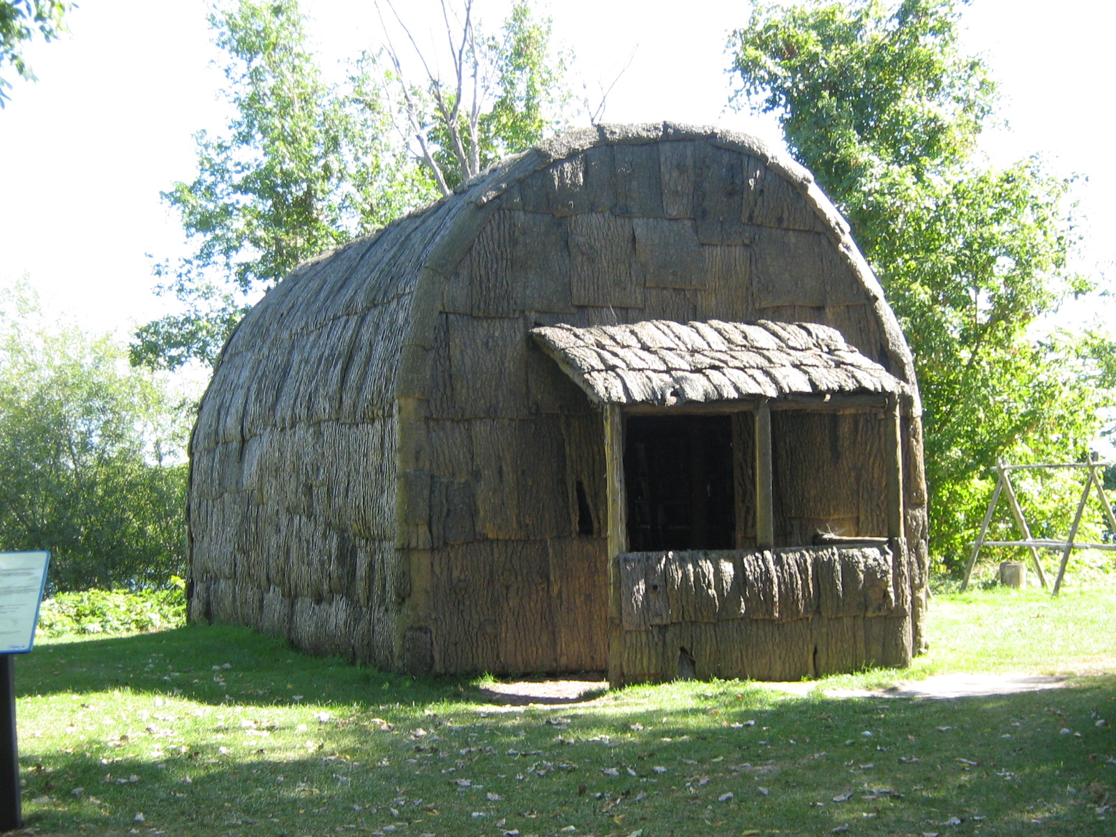 Photo: Fralambert, CC BY-SA 3.0 (via Wikimedia Commons)
SEPAQ Camping Grosbois
~39 min drive
 Photo: Fralambert, CC BY-SA 3.0 (via Wikimedia Commons)
Sentier des Lacs
~40 min drive
Rue Lafrance Ouest
~41 min drive
Conditions and forecast
Daily highs and lows, wind and the chance of precipitation at Rivière Richelieu for the next 7 days, from the Open-Meteo model.
Map and trail data © OpenStreetMap contributors
