Dicksons Hill
- 840 ft
- summit
- Parks Canada
- managed by
- Jun–Sep
- best months
Dicksons Hill is a mountain in Ontario, Canada, with its summit at about 840 ft (256 m) above sea level. It stands inside Rouge National Urban Park. No mapped trail reaches the top in OpenStreetMap, so plan the approach with local maps or a guide. The nearest town is Stouffville, about 2.0 miles southwest of the summit. For camping, Camp Green Acres and Camp Chimo are within about 6 miles. The location and elevation come from OpenStreetMap and the Copernicus 90 m elevation model. Check local access rules and conditions before you go.
Conditions and forecast
Daily highs and lows, wind and the chance of precipitation at the summit for the next 7 days, from the Open-Meteo model.
- Summit elevation
- 840 ft
- Land manager
- Parks Canada
We don't know of a mapped trail or route to the summit of Dicksons Hill. Plan the approach with local maps, a guidebook or a local guide, and check conditions before you go.
Questions about Dicksons Hill
How tall is Dicksons Hill?
840 ft (256 m).
Is there a trail to the top of Dicksons Hill?
We don't know of a mapped trail or route to the summit. Plan the approach with local maps, a guidebook or a local guide.
 Heise HillSummit · ~10 min drivePhoto: JFVoll, CC BY-SA 4.0 (via Wikimedia Commons)
 Scarborough BluffsSummit · ~27 min drivePhoto: Dillan Payne, CC BY-SA 4.0 (via Wikimedia Commons)
 Mount WolfeSummit · ~45 min drivePhoto: Steve Knight from Halstead, United Kingdom, CC BY 2.0 (via Wikimedia Commons)
- Baker HillSummit · ~6 min drive
- The PinnaclesSummit · ~17 min drive
- Blue MountainSummit · ~29 min drive
- The MoundSummit · ~30 min drive
- Mini MoundSummit · ~31 min drive
- Centennial Park Mountain PeakSummit · ~44 min drive
- Albion HillsSummit · ~53 min drive
Also worth it near here
- Camp Green AcresCamping · ~6 min drive
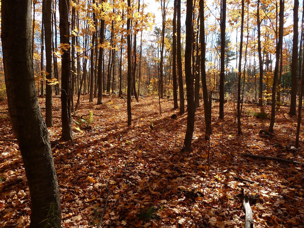 Unsanctioned TrailHiking · ~14 min drivePhoto: MichaelTutton, CC BY 2.0 (via Flickr)
- Rouge RiverCanoeing · ~20 min drive
- Kayak launch spotBoat launch · ~21 min drive
 Newtonbrook Creek PathwayMountain biking · ~22 min drivePhoto: Sikander Iqbal, CC BY-SA 4.0 (via Wikimedia Commons)
Best time to visit Dicksons Hill
Best months: June–September. Best months have typical highs of 55–85 °F, lows of 30 °F or warmer (32 °F where the station doesn't record snow), at most one snowy day and no more than 12 wet days.
Jan
34° / 19°
18 wet
Feb
35° / 19°
15 wet
Mar
43° / 25°
13 wet
Apr
55° / 35°
14 wet
May
68° / 46°
14 wet
Jun
77° / 57°
12 wet
Jul
83° / 62°
11 wet
Aug
81° / 61°
12 wet
Sep
74° / 54°
12 wet
Oct
61° / 44°
17 wet
Nov
50° / 34°
15 wet
Dec
39° / 26°
16 wet
Typical high / low (°F) and days with rain or snow, 1991–2020. Measured at Youngstown 2 E, NY, 49.7 mi away at 295 ft. The station sits about 500 ft lower than this place, so expect it a little cooler here. This station doesn't record snowfall. Source: NOAA NCEI U.S. Climate Normals 1991–2020.
Map and trail data © OpenStreetMap contributors
